Quabbin Reservoir

Log in to your account

AroundUs is a community-driven map of interesting places, built by curious explorers like you. It grows with every review, story, and photo you share.
Connect to save your favorite spots, contribute locations, and create personalized routes.
Continue with Google
Continue with Apple
Continue with X
Continue with Facebook
Continue with email
By continuing, you accept our Terms and Conditions and our Privacy Policy
Create an account
Add to collection
Map
Suggest a change
Share

Quabbin Reservoir, Water reservoir in Massachusetts, United States.

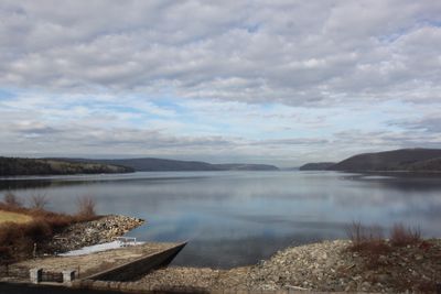
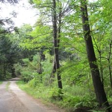
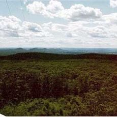
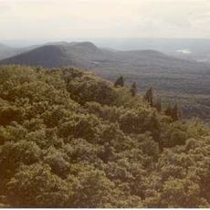
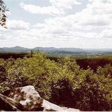
Quabbin Reservoir is a reservoir in central Massachusetts that flooded several former river valleys and now provides water supply for a large part of the state. The shoreline runs through forested hills, and the water fills a basin bounded by dams and natural ridges.

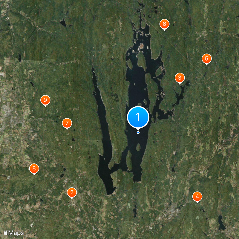
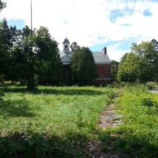
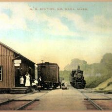
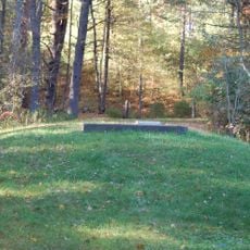
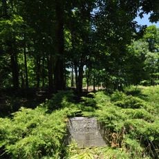
Construction lasted from 1930 to 1939 and resulted in four communities being submerged to provide drinking water for the growing population in the east. Residents of Dana, Enfield, Greenwich and Prescott had to leave their homes before the dams were closed.

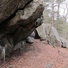
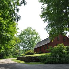
The name comes from the Nipmuc language and means meeting of waters, recalling the original inhabitants of this area. Today hikers and anglers come here to experience the quiet landscape that stretches across the wide water basin.

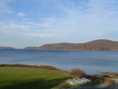
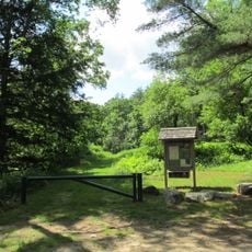
Access is through several entrances that open during daylight hours, with hiking trails and fishing spots being the main activities. The best time to visit is in spring and autumn when the forests around the water change their colors.

The water undergoes no technical filtering but is naturally cleaned by the surrounding forest alone before entering the pipes. This method supplies about 40 percent of Massachusetts residents with drinking water without chemical treatment.

Location: Massachusetts

Elevation above the sea: 159 m

Website: https://mass.gov/locations/quabbin-reservoir

GPS coordinates: 42.35917,-72.30000

Latest update: December 13, 2025 18:21

Photos
Around this place
Belchertown State School
United States of America

Belchertown State School

13.3 km
Dana
United States of America

Dana

9.2 km
Rock House Reservation
United States of America

Rock House Reservation

13.1 km
Swift River Reservation
United States of America

Swift River Reservation

13.8 km
Federated Women's Club State Forest
United States of America

Federated Women's Club State Forest

15.1 km
Mount Lincoln
United States of America

Mount Lincoln

10.1 km
Long Mountain
United States of America

Long Mountain

16 km
United States of America

Mount Orient

13.8 km
Ware–Hardwick Covered Bridge
United States of America

Ware–Hardwick Covered Bridge

9 km
Chicopee Valley Aqueduct
United States of America

Chicopee Valley Aqueduct

9.2 km
Lucy Stone Home Site
United States of America

Lucy Stone Home Site

14.5 km
John Payson Williston Observatory
United States of America

John Payson Williston Observatory

12 km
Gay Farm
United States of America

Gay Farm

15 km
Ware Town Hall
United States of America

Ware Town Hall

12 km
Clapp Memorial Library
United States of America

Clapp Memorial Library

12.3 km
Gilbertville Historic District
United States of America

Gilbertville Historic District

9.5 km
Ware Millyard Historic District
United States of America

Ware Millyard Historic District

12.2 km
Pelham Town Hall Historic District
United States of America

Pelham Town Hall Historic District

9.3 km
Belchertown Center Historic District
United States of America

Belchertown Center Historic District

12.4 km
Ware Center Historic District
United States of America

Ware Center Historic District

11.1 km
East Village Historic District
United States of America

East Village Historic District

16.7 km
South Amherst Common Historic District
United States of America

South Amherst Common Historic District

17 km
Kensington Park Historic District
United States of America

Kensington Park Historic District

3.8 km
New Salem Common Historic District
United States of America

New Salem Common Historic District

15.7 km
Wickaboag Valley Historic District
United States of America

Wickaboag Valley Historic District

15.3 km
Walker-Collis House
United States of America

Walker-Collis House

13.3 km
South School
United States of America

South School

12.9 km
Hardwick Village Historic District
United States of America

Hardwick Village Historic District

8.6 km
Show the full map
Reviews

Visited this place? Tap the stars to rate it and share your experience / photos with the community! Try now! You can cancel it anytime.

« Quabbin Reservoir - Water reservoir in Massachusetts, United States » is provided by Around Us (aroundus.com). Images and texts are derived from Wikimedia project under a Creative Commons license. You are allowed to copy, distribute, and modify copies of this page, under the conditions set by the license, as long as this note is clearly visible.

Discover hidden gems everywhere you go!

From secret cafés to breathtaking viewpoints, skip the crowded tourist spots and find places that match your style. Our app makes it easy with voice search, smart filtering, route optimization, and insider tips from travelers worldwide. Download now for the complete mobile experience.

Around Us App Screenshot

A unique approach to discovering new places

Le Figaro

All the places worth exploring

France Info

A tailor-made excursion in just a few clicks

20 Minutes