Enable Location

We need your location to show you interesting places around you

Discover nearby places

Find interesting locations and hidden gems around you

Precise directions

Get accurate directions and distances to places

Your location is never shared with other users. It's only used when you tap the location button.

Schooley's Mountain

Log in to your account

Start exploring — it's free

Trusted by 61,581 travelers worldwide

Continue with Google
Continue with Apple
or

We will send you a code to connect

By continuing, you accept our Terms and Conditions and our Privacy Policy

Check your inbox

We've sent a pincode in your inbox. Please enter the code below.

Schooley's Mountain

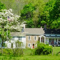
Schooley's Mountain, Mountain summit in Morris County, United States.

Description

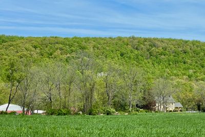
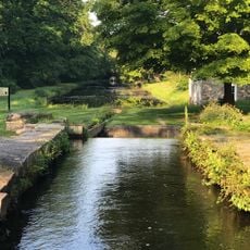
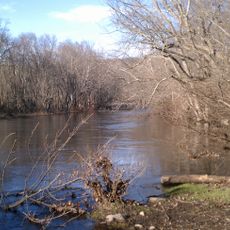
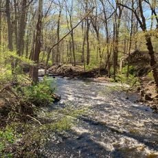
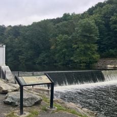
Schooley's Mountain is a summit rising about 1,200 feet in the southern highlands of northern New Jersey, stretching from Lake Hopatcong toward Hampton. The 797-acre county park features multiple hiking paths, athletic fields, picnic grounds, and a lake for fishing and water activities.

History

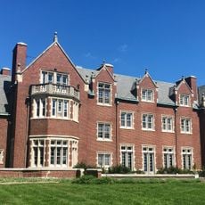
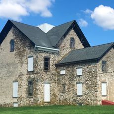
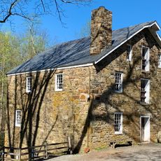
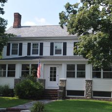
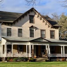
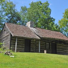
Lenape Native Americans first settled this land before the Schooley family, Quaker landowners, acquired large territories in the late 1700s. The mountain later became known as a health resort where visitors sought the healing properties of mineral springs during the 1800s.

Culture

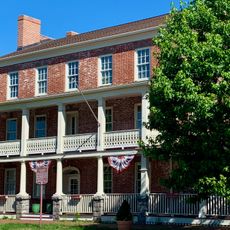
The mountain once drew wealthy visitors from New York who came for the healing springs. Walking through the park today, you can still sense the legacy of this past health resort culture.

Practical

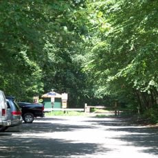
The park is accessible year-round and offers activities for all seasons, with spring and fall providing the most comfortable visiting conditions. Wear sturdy footwear for the trails and plan to spend a few hours exploring the grounds and lake areas.

Did you know?

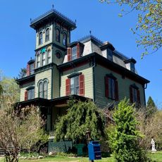
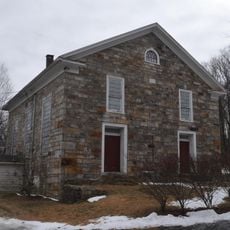
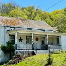
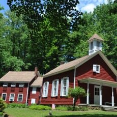
A historic general store established in 1803 still stands and operates in the area as one of the oldest continuously running shops in the state. The store offers a glimpse into how small communities once got their supplies and gathered for news.

Location
GPS coordinates
40.82927,-74.79350
Latest update
December 12, 2025 07:51

AroundUs brings together thousands of curated places, local tips, and hidden gems, enriched daily by 60,000 contributors worldwide. Discover all places nearby (Morris County).

Around this place
Morris Canal
United States of America

Morris Canal

9.2 km
Rutherfurd Hall
United States of America

Rutherfurd Hall

9.6 km
Allamuchy Mountain State Park
United States of America

Allamuchy Mountain State Park

10.3 km
Stephens State Park
United States of America

Stephens State Park

4.7 km
Seward Mansion
United States of America

Seward Mansion

7.1 km
Black River County Park
United States of America

Black River County Park

9.7 km
United States of America

Turkey Brook Park

7 km
Jacob C. Allen House
United States of America

Jacob C. Allen House

4 km
German Valley Historic District
United States of America

German Valley Historic District

5.1 km
Nathan Cooper Gristmill
United States of America

Nathan Cooper Gristmill

8.3 km
Chester House Inn
United States of America

Chester House Inn

9.6 km
Beattystown Historic District
United States of America

Beattystown Historic District

4.5 km
Elizabeth D. Kay Environmental Center
United States of America

Elizabeth D. Kay Environmental Center

10 km
Combe Fill South Superfund Site
United States of America

Combe Fill South Superfund Site

7.3 km
Sharpenstine Farmstead
United States of America

Sharpenstine Farmstead

5.4 km
Miller Farmstead
United States of America

Miller Farmstead

9.8 km
Mount Bethel Methodist Church
United States of America

Mount Bethel Methodist Church

9.1 km
Mount Olive Village Historic District
United States of America

Mount Olive Village Historic District

5.6 km
Schooley's Mountain Historic District
United States of America

Schooley's Mountain Historic District

3.5 km
Anthony-Corwin Farm
United States of America

Anthony-Corwin Farm

6.6 km
Craft-Clausen House
United States of America

Craft-Clausen House

7.1 km
Leonard Neighbor Farmstead
United States of America

Leonard Neighbor Farmstead

6.2 km
Flocktown Schoolhouse
United States of America

Flocktown Schoolhouse

1.6 km
Jacob Wise Neighbor House
United States of America

Jacob Wise Neighbor House

5.7 km
Saxton Falls Dam
United States of America

Saxton Falls Dam

6.6 km
Waterloo Village United Methodist Church
United States of America

Waterloo Village United Methodist Church

10 km
Rutan Log Cabin
United States of America

Rutan Log Cabin

10.2 km
Middle Valley Historic District
United States of America

Middle Valley Historic District

8.2 km
Show the full map
« Schooley's Mountain - Mountain summit in Morris County, United States » is provided by Around Us (aroundus.com). Images and texts are derived from Wikimedia project under a Creative Commons license. You are allowed to copy, distribute, and modify copies of this page, under the conditions set by the license, as long as this note is clearly visible.

Discover hidden gems everywhere you go!

From secret cafés to breathtaking viewpoints, skip the crowded tourist spots and find places that match your style. Our app makes it easy with voice search, smart filtering, route optimization, and insider tips from travelers worldwide. Download now for the complete mobile experience.

Around Us App Screenshot

A unique approach to discovering new places

Le Figaro

All the places worth exploring

France Info

A tailor-made excursion in just a few clicks

20 Minutes

Around Us
Travel Guide & Maps
Download

Send to your phone

QR Code
1

Open the camera app on your mobile.

2

Point at the QR code with your camera. A notification will appear.

3

Tap the notification to open the link.