Enable Location

We need your location to show you interesting places around you

Discover nearby places

Find interesting locations and hidden gems around you

Precise directions

Get accurate directions and distances to places

Your location is never shared with other users. It's only used when you tap the location button.

Morris Canal

Log in to your account

Start exploring — it's free

Trusted by 63,087 travelers worldwide

Continue with Google
Continue with Apple
or

We will send you a code to connect

By continuing, you accept our Terms and Conditions and our Privacy Policy

Check your inbox

We've sent a pincode in your inbox. Please enter the code below.

Discussion Reviews 1 Photos
27.5k Popularity

Morris Canal, Historic canal district in New Jersey, United States

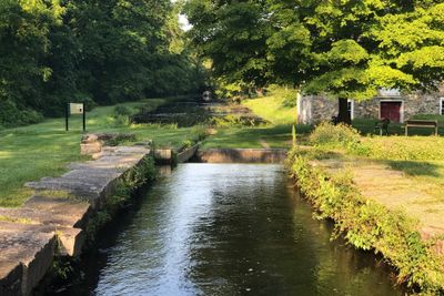
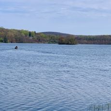
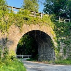
The Morris Canal stretches 107 miles (172 km) across northern New Jersey, linking the Delaware River near Phillipsburg to Newark Bay close to Jersey City. Preserved sections, lockhouses, and remnants of water-powered installations now form an extended heritage district documenting this historic engineering achievement.

Construction began in 1824 and finished in 1831 to transport coal from Pennsylvania to industrial areas in northern New Jersey. The route lost ground after 1860 as railroads took over freight services and was finally shut down in 1924.

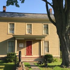
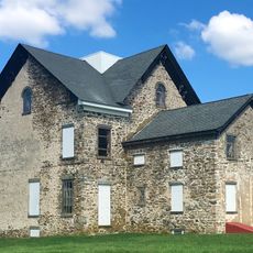
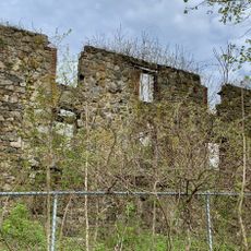
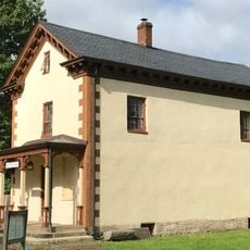
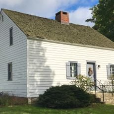
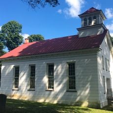
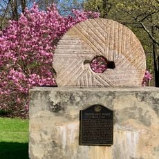
The name Morris comes from early landowner Robert Morris, who held property rights in this part of New Jersey. Along preserved sections, visitors can still see the characteristic lockhouses and some original mechanisms that show how water flow was controlled.

The Morris Canal Greenway provides walking and biking routes through several counties, linking preserved canal sections with public parks. Most access points are open freely and allow a day trip along the historic waterways and locks.

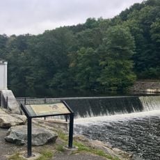
The system used 23 inclined planes with water-powered cable winches to lift boats over elevation changes of more than 900 feet (274 m). This method was unusual at the time and allowed vessels to climb steep slopes without long rows of locks.

The community of curious travelers

AroundUs brings together thousands of curated places, local tips, and hidden gems, enriched daily by 60,000 contributors worldwide.

Start exploring
Location
GPS coordinates
40.91030,-74.77070
Latest update
December 20, 2025 13:39
Around this place
Centenary University
United States of America

Centenary University

8.6 km
Waterloo Village
United States of America

Waterloo Village

1.4 km
Hopatcong State Park
United States of America

Hopatcong State Park

8.9 km
Rutherfurd Hall
United States of America

Rutherfurd Hall

3.6 km
Allamuchy Mountain State Park
United States of America

Allamuchy Mountain State Park

1.6 km
Schooley's Mountain
United States of America

Schooley's Mountain

9.2 km
Lake Musconetcong
United States of America

Lake Musconetcong

6.5 km
Stephens State Park
United States of America

Stephens State Park

5.6 km
Seward Mansion
United States of America

Seward Mansion

6.2 km
United States of America

Turkey Brook Park

6.4 km
Jacob C. Allen House
United States of America

Jacob C. Allen House

8.2 km
Allamuchy Mountain
United States of America

Allamuchy Mountain

2.8 km
Plaster Mill
United States of America

Plaster Mill

5.3 km
Allamuchy Freight House
United States of America

Allamuchy Freight House

4.8 km
King Store and Homestead
United States of America

King Store and Homestead

10.6 km
Ledgewood Historic District
United States of America

Ledgewood Historic District

10.4 km
Lubber Run Fill
United States of America

Lubber Run Fill

8.6 km
Stanhope United Methodist Church
United States of America

Stanhope United Methodist Church

5.6 km
Silas Riggs House
United States of America

Silas Riggs House

10.6 km
Mount Olive Village Historic District
United States of America

Mount Olive Village Historic District

7.3 km
Budd Lake Municipal Beach
United States of America

Budd Lake Municipal Beach

5.5 km
Landing Masonry Bridge
United States of America

Landing Masonry Bridge

8.8 km
Saxton Falls Dam
United States of America

Saxton Falls Dam

3.4 km
Hole in the Wall Stone Arch Bridge
United States of America

Hole in the Wall Stone Arch Bridge

7.4 km
Palace Theatre
United States of America

Palace Theatre

5.7 km
Waterloo Village United Methodist Church
United States of America

Waterloo Village United Methodist Church

1.2 km
Brookland Forge
United States of America

Brookland Forge

8.9 km
Lake Hopatcong Historical Museum
United States of America

Lake Hopatcong Historical Museum

8.9 km
Show the full map
Reviews
Share your experience

No review yet

Discussions
Start a discussion...

No discussion yet

« Morris Canal - Historic canal district in New Jersey, United States » is provided by Around Us (aroundus.com). Images and texts are derived from Wikimedia project under a Creative Commons license. You are allowed to copy, distribute, and modify copies of this page, under the conditions set by the license, as long as this note is clearly visible.

Discover hidden gems everywhere you go!

From secret cafés to breathtaking viewpoints, skip the crowded tourist spots and find places that match your style. Our app makes it easy with voice search, smart filtering, route optimization, and insider tips from travelers worldwide. Download now for the complete mobile experience.

Around Us App Screenshot

A unique approach to discovering new places

Le Figaro

All the places worth exploring

France Info

A tailor-made excursion in just a few clicks

20 Minutes

Around Us
Travel Guide & Maps
Download

Send to your phone

QR Code
1

Open the camera app on your mobile.

2

Point at the QR code with your camera. A notification will appear.

3

Tap the notification to open the link.