Chest opened
+${chestReward.xp} XP
Explorer
NOUVEAU ×${chestReward.collectible.quantity}
tapez pour fermer

See the monuments around you in AR Open chests in the app

Around Us is built for your phone — point your camera at the streets and discover the monuments and places around you in augmented reality. Around Us is built for your phone — chests unlock when you walk, explore and capture nearby places.

•

Enable Location

We need your location to show you interesting places around you

Discover nearby places

Find interesting locations and hidden gems around you

Precise directions

Get accurate directions and distances to places

Your location is never shared with other users. It's only used when you tap the location button.

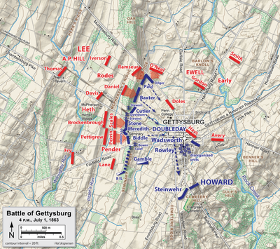
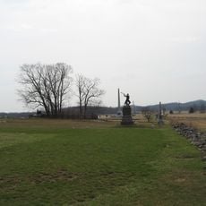
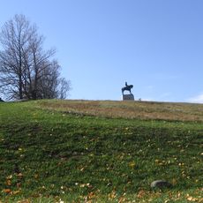
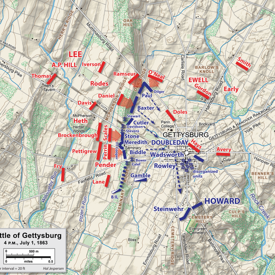
Seminary Ridge

Log in to your account

Start exploring — it's free

Trusted by 88,756 travelers worldwide

Continue with Google
Continue with Apple
or

We will send you a code to connect

By continuing, you accept our Terms and Conditions and our Privacy Policy

Check your inbox

We've sent a pincode in your inbox. Please enter the code below.

Seminary Ridge
Discussion Reviews 1 Photos
9.8k Popularity

Seminary Ridge, Historical landform near Frederick, Maryland.

Seminary Ridge is a landform that extends across Maryland and Pennsylvania, forming a natural boundary between different watershed systems. The elevation creates a visible change in the terrain that shapes the landscape across both states.

This landform was shaped during the geological formation of the Piedmont Plateau over millions of years. The ridge has influenced settlement patterns and land use practices throughout the region for centuries.

The ridge contributes to Maryland's natural resource heritage, influencing local mineral extraction practices and agricultural development patterns.

The ridge is best explored from public roads and surrounding areas that provide various vantage points. Visitors should be prepared for uneven terrain as the landscape is hilly.

The ridge contains various rock types including slate and marble, resulting from complex geological processes in the Piedmont region. This geological variety makes it noteworthy for those interested in earth science.

The community of curious travelers

AroundUs brings together thousands of curated places, local tips, and hidden gems, enriched daily by 60,000 contributors worldwide.
Start exploring
Location
Location
GPS coordinates
39.82565,-77.24637
Latest update
September 12, 2026 08:36
Around this place
Gettysburg National Cemetery
United States of America

Gettysburg National Cemetery

0.9 mi
High-water mark of the Confederacy
United States of America

High-water mark of the Confederacy

1.1 mi
Cemetery Hill
United States of America

Cemetery Hill

1 mi
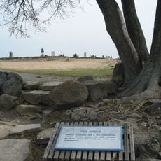
The Angle
United States of America

The Angle

1 mi
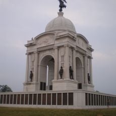
The Pennsylvania State Memorial
United States of America

The Pennsylvania State Memorial

1.4 mi
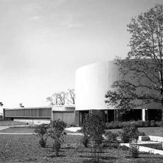
Cyclorama Building at Gettysburg
United States of America

Cyclorama Building at Gettysburg

0.9 mi
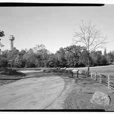
Gettysburg National Tower
United States of America

Gettysburg National Tower

1.1 mi
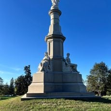
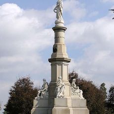
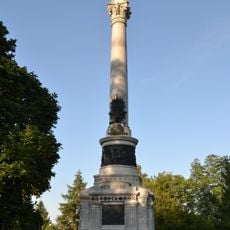
Soldiers' National Monument
United States of America

Soldiers' National Monument

0.9 mi
Evergreen Cemetery
United States of America

Evergreen Cemetery

1 mi
Gettysburg Battlefield Historic District
United States of America

Gettysburg Battlefield Historic District

1.1 mi
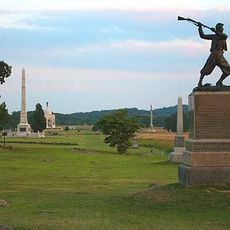
72nd Pennsylvania Infantry Monument
United States of America

72nd Pennsylvania Infantry Monument

1 mi
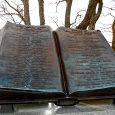
Friend to Friend Masonic Memorial
United States of America

Friend to Friend Masonic Memorial

0.8 mi
McPherson Ridge
United States of America

McPherson Ridge

1 mi
High Water Mark of the Rebellion Monument
United States of America

High Water Mark of the Rebellion Monument

1.1 mi
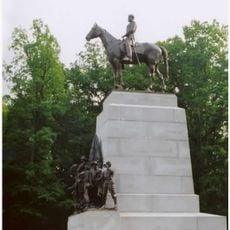
Virginia Monument
United States of America

Virginia Monument

0.8 mi
North Carolina Monument
United States of America

North Carolina Monument

0.5 mi
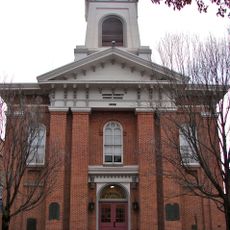
Adams County Courthouse
United States of America

Adams County Courthouse

0.8 mi
Evergreen Cemetery gatehouse
United States of America

Evergreen Cemetery gatehouse

1 mi
Pennsylvania Hall
United States of America

Pennsylvania Hall

0.9 mi
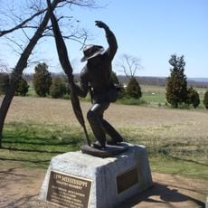
11th Mississippi Infantry Monument
United States of America

11th Mississippi Infantry Monument

0.4 mi
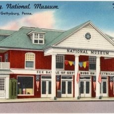
Gettysburg National Museum
United States of America

Gettysburg National Museum

0.9 mi
New York State Monument
United States of America

New York State Monument

0.9 mi
Sheads House
United States of America

Sheads House

0.6 mi
David Wills House
United States of America

David Wills House

0.9 mi
Mcillian Woods Youth Campground
United States of America

Mcillian Woods Youth Campground

0.4 mi
United States of America

Women's Memorial

1 mi
United States of America

Return visit

0.9 mi
United States of America

Mural

0.6 mi
Show the full map
Reviews
Share your experience

No review yet

Discussions
Start a discussion...

No discussion yet

« Seminary Ridge - Historical landform near Frederick, Maryland » is provided by Around Us (aroundus.com). Images and texts are derived from Wikimedia project under a Creative Commons license. You are allowed to copy, distribute, and modify copies of this page, under the conditions set by the license, as long as this note is clearly visible.

Discover hidden gems everywhere you go!

From secret cafés to breathtaking viewpoints, skip the crowded tourist spots and find places that match your style. Our app makes it easy with voice search, smart filtering, route optimization, and insider tips from travelers worldwide. Download now for the complete mobile experience.

Around Us App Screenshot
❝

A unique approach to discovering new places❞

— Le Figaro

❝

All the places worth exploring❞

— France Info

❝

A tailor-made excursion in just a few clicks❞

— 20 Minutes

Around Us
Travel Guide & Maps
Download

Send to your phone

QR Code
1

Open the camera app on your mobile.

2

Point at the QR code with your camera. A notification will appear.

3

Tap the notification to open the link.