
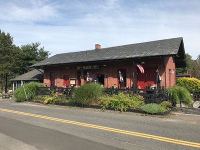
Simsbury station, Former railway station in Simsbury, Connecticut
Location: Simsbury
Architectural style: Renaissance Revival architecture
GPS coordinates: 41.87417,-72.80056
Latest update: September 23, 2025 14:05
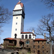
Heublein Tower
5.4 km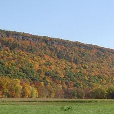
Talcott Mountain
6.9 km
Connecticut General Life Insurance Company Headquarters
8.2 km
S1C reactor
6.9 km
Talcott Mountain State Park
5.5 km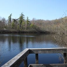
Penwood State Park
2.3 km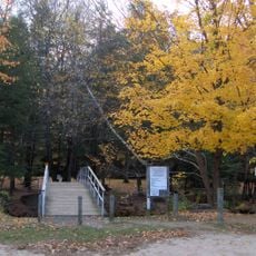
McLean Game Refuge
5.3 km
Amos Eno House
193 m
Stratton Brook State Park
3.1 km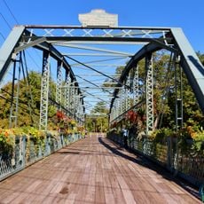
Drake Hill Road Bridge
650 m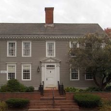
Simsbury Center Historic District
241 m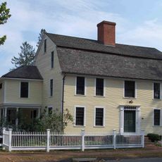
Capt. Elisha Phelps House
224 m
Avon Congregational Church
7.5 km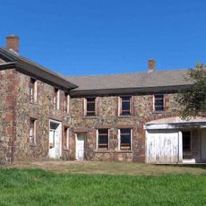
Oliver Filley House
5.4 km
Terry's Plain Historic District
1.7 km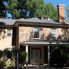
Francis Gillette House
8.2 km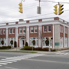
Simsbury Bank and Trust Company Building
154 m
Robert and Julia Darling House
284 m
East Weatogue Historic District
3 km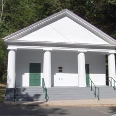
Simsbury Townhouse
444 m
Tariffville Historic District
5 km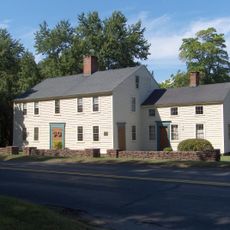
John Humphrey House
1.3 km
Horace Belden School and Central Grammar School
807 m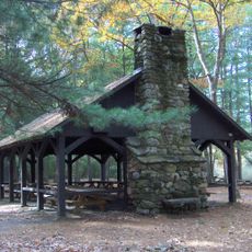
Massaco Forest Pavilion
3.2 km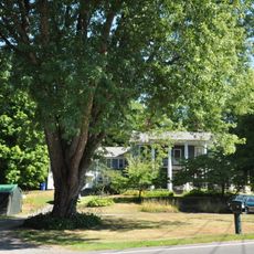
Whitfield Cowles House
6.4 km
Samuel Hayes II House
8 km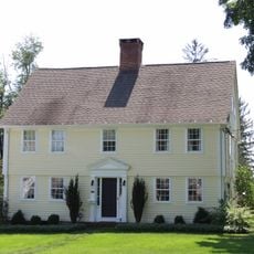
Beardsley-Mix House
7.3 km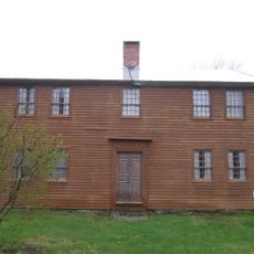
Salmon Brook Historical Society
8 kmReviews
Visited this place? Tap the stars to rate it and share your experience / photos with the community! Try now! You can cancel it anytime.
Discover hidden gems everywhere you go!
From secret cafés to breathtaking viewpoints, skip the crowded tourist spots and find places that match your style. Our app makes it easy with voice search, smart filtering, route optimization, and insider tips from travelers worldwide. Download now for the complete mobile experience.

A unique approach to discovering new places❞
— Le Figaro
All the places worth exploring❞
— France Info
A tailor-made excursion in just a few clicks❞
— 20 Minutes