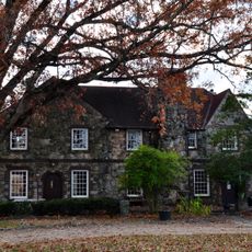
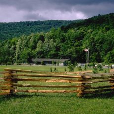
South Cumberland State Park, State park on Cumberland Plateau, Franklin County, Tennessee.
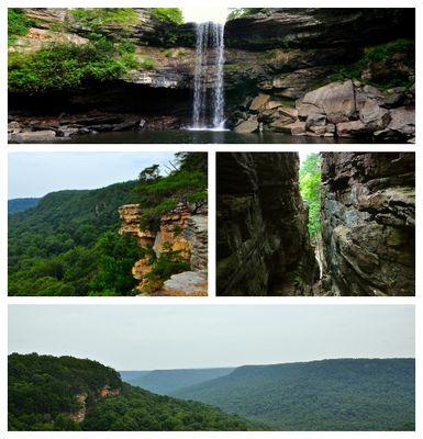
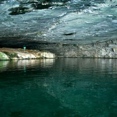
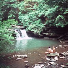
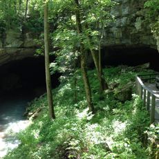
South Cumberland State Park is a large protected area on the Cumberland Plateau that spans three counties. The park features numerous waterfalls, dense forests, and an extensive network of hiking trails ranging from easy walks to challenging routes.
The park was established in 1978 to protect the natural features of the Cumberland Plateau. A significant change occurred in 2022 when part of the original park was separated to form a new state park.
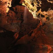
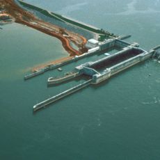
The Grundy Lakes area displays remnants of coal mining and coke production from industrial operations that shaped the region's economy. These visible traces connect visitors to the working heritage that defined daily life on the plateau for decades.
The park has twelve different trailheads where visitors can begin their hikes and a vehicle campground at Foster Falls. Backcountry camping areas are also available for those seeking a more remote outdoor experience.
Foster Falls is the park's highest waterfall and provides a spectacular water display for visitors. Along the Fiery Gizzard Trail, hikers encounter varied rock formations that reveal the geological story of the plateau.
The community of curious travelers
AroundUs brings together thousands of curated places, local tips, and hidden gems, enriched daily by 60,000 contributors worldwide.