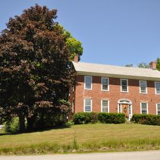
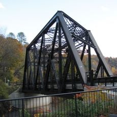
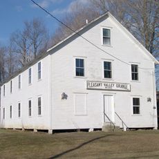
Springfield, human settlement in Springfield, Vermont, United States of America
Location: Springfield
Elevation above the sea: 122 m
GPS coordinates: 43.29420,-72.48170
Latest update: April 26, 2025 05:02
Fort at Number 4
5.9 km
Stellafane Observatory
3.5 km
Bartonsville Covered Bridge
9 km
Cheshire Bridge
5.8 km
Rockingham Meeting House
11.9 km
Crown Point Road
11 km
Stone Village Historic District
9.3 km
Hartness House
870 m
Eureka Schoolhouse
3.6 km
Worrall Covered Bridge
10.2 km
Greenwood House
9.5 km
Upper Falls Covered Bridge
12.1 km
Jeffrey House
9.5 km
Chester Village Historic District
10.2 km
Parker Hill Rural Historic District
7.9 km
Park Street School
624 m
Charlestown Town Hall
9.1 km
Gould's Mill Bridge
3.3 km
Rockingham Village Historic District
11.8 km
Southview Housing Historic District
1.1 km
Charlestown Main Street Historic District
7.9 km
Farwell School
7.8 km
Weathersfield Center Historic District
9.5 km
North Charlestown Historic District
7.8 km
Spencer Hollow School
4.1 km
Gen. Lewis R. Morris House
5.8 km
Augustus and Laura Blaisdell House
9.3 km
Lockwood-Boynton House
5.7 kmReviews
Visited this place? Tap the stars to rate it and share your experience / photos with the community! Try now! You can cancel it anytime.
Discover hidden gems everywhere you go!
From secret cafés to breathtaking viewpoints, skip the crowded tourist spots and find places that match your style. Our app makes it easy with voice search, smart filtering, route optimization, and insider tips from travelers worldwide. Download now for the complete mobile experience.
A unique approach to discovering new places❞
— Le Figaro
All the places worth exploring❞
— France Info
A tailor-made excursion in just a few clicks❞
— 20 Minutes