Chest opened
+${chestReward.xp} XP
Explorer
NOUVEAU ×${chestReward.collectible.quantity}
tapez pour fermer
Chest locked

Open chests in the app

Around Us is built for your phone — chests unlock when you walk, explore and capture nearby places.

Enable Location

We need your location to show you interesting places around you

Discover nearby places

Find interesting locations and hidden gems around you

Precise directions

Get accurate directions and distances to places

Your location is never shared with other users. It's only used when you tap the location button.

Log in to your account

Start exploring — it's free

Trusted by 72,904 travelers worldwide

Continue with Google
Continue with Apple
or

We will send you a code to connect

By continuing, you accept our Terms and Conditions and our Privacy Policy

Check your inbox

We've sent a pincode in your inbox. Please enter the code below.

The Highlands
Discussion Reviews Photo
11.7k Popularity

The Highlands, Residential neighborhood in Louisville, Kentucky, United States

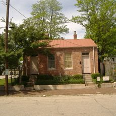
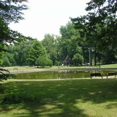
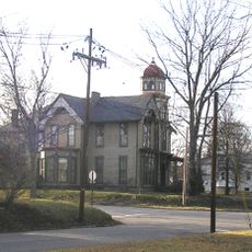
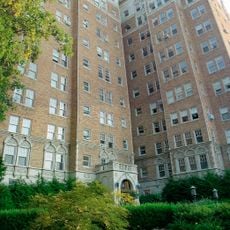
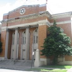
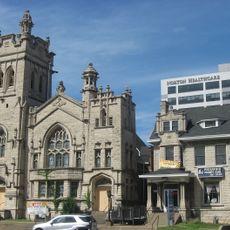
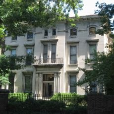
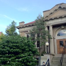
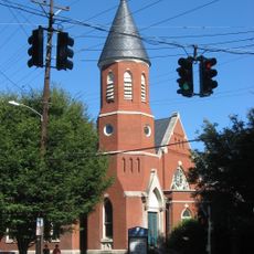
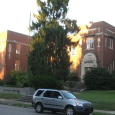
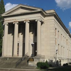
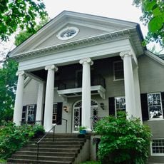
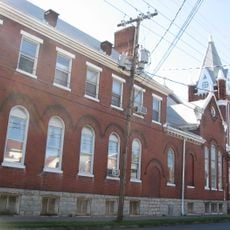
The Highlands is a residential neighborhood in Louisville stretching along Bardstown Road and Baxter Avenue, marked by Victorian-era mansions, apartments, and commercial buildings from the late 1800s. The area includes multiple parks such as Cherokee Park, which offers walking trails and recreational facilities.

The area grew rapidly after 1869 when a mule-drawn streetcar line connected downtown Louisville to the residential sections along Bardstown Road. This transportation link transformed it into a desirable neighborhood for city dwellers.

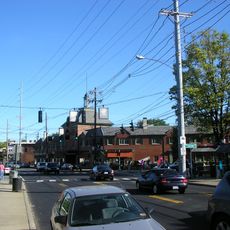
The neighborhood draws visitors and locals with independent restaurants, art galleries, and locally-owned shops that reflect the creative energy of the community. These businesses shape how people experience and spend time in this residential area.

The neighborhood is easy to explore on foot, with wide sidewalks and multiple parks for walking and relaxation, especially if you want to spend time on the trails. The main roads can get busy during peak hours, so plan your visit accordingly.

Every October the neighborhood hosts the Louisville Zombie Walk, where thousands of dressed-up participants march along Bardstown Road in a spectacle that brings the streets to life. This annual gathering has become one of the region's most talked-about celebrations.

The community of curious travelers

AroundUs brings together thousands of curated places, local tips, and hidden gems, enriched daily by 60,000 contributors worldwide.

Start exploring
Location
GPS coordinates
38.22730,-85.70830
Latest update
December 7, 2025 20:49
Around this place
Freedom Hall
United States of America

Freedom Hall

4.2 km
Louisville Zoo
United States of America

Louisville Zoo

2.5 km
Kentucky Exposition Center
United States of America

Kentucky Exposition Center

4.2 km
Thomas Edison House
United States of America

Thomas Edison House

4.1 km
Cherokee Park
United States of America

Cherokee Park

1.8 km
Farmington
United States of America

Farmington

3.8 km
Lynn's Paradise Cafe
United States of America

Lynn's Paradise Cafe

2.1 km
John B. Castleman Monument
United States of America

John B. Castleman Monument

959 m
Hogan Fountain Pavilion
United States of America

Hogan Fountain Pavilion

1.6 km
Shawnee Park
United States of America

Shawnee Park

3.2 km
Crescent Hill Reservoir
United States of America

Crescent Hill Reservoir

4.2 km
Bullock-Clifton House
United States of America

Bullock-Clifton House

520 m
Commodore Apartment Building
United States of America

Commodore Apartment Building

892 m
Keneseth Israel
United States of America

Keneseth Israel

2.9 km
Peterson–Dumesnil House
United States of America

Peterson–Dumesnil House

2.8 km
United States of America

Owsley B. Frazier Stadium

1.4 km
St. Paul's German Evangelical Church
United States of America

St. Paul's German Evangelical Church

4.3 km
Schuster Building
United States of America

Schuster Building

493 m
Union Monument in Louisville
United States of America

Union Monument in Louisville

2.6 km
Landward House
United States of America

Landward House

4.6 km
Crescent Hill Branch Library
United States of America

Crescent Hill Branch Library

3.4 km
Highland Presbyterian Church
United States of America

Highland Presbyterian Church

2 km
Willam R. Belknap School
United States of America

Willam R. Belknap School

1.8 km
Board of Extension of the Methodist Episcopal Church, South
United States of America

Board of Extension of the Methodist Episcopal Church, South

4.6 km
Repton
United States of America

Repton

3.8 km
College Street Presbyterian Church
United States of America

College Street Presbyterian Church

4.5 km
German Evangelical Church of Christ Complex
United States of America

German Evangelical Church of Christ Complex

2.4 km
Adam Israel Temple
United States of America

Adam Israel Temple

4.6 km
Show the full map
Reviews
Share your experience

No review yet

Discussions
Start a discussion...

No discussion yet

« The Highlands - Residential neighborhood in Louisville, Kentucky, United States » is provided by Around Us (aroundus.com). Images and texts are derived from Wikimedia project under a Creative Commons license. You are allowed to copy, distribute, and modify copies of this page, under the conditions set by the license, as long as this note is clearly visible.

Discover hidden gems everywhere you go!

From secret cafés to breathtaking viewpoints, skip the crowded tourist spots and find places that match your style. Our app makes it easy with voice search, smart filtering, route optimization, and insider tips from travelers worldwide. Download now for the complete mobile experience.

Around Us App Screenshot

A unique approach to discovering new places

Le Figaro

All the places worth exploring

France Info

A tailor-made excursion in just a few clicks

20 Minutes

Around Us
Travel Guide & Maps
Download

Send to your phone

QR Code
1

Open the camera app on your mobile.

2

Point at the QR code with your camera. A notification will appear.

3

Tap the notification to open the link.