Ute meridian, Principal meridian in Grand Junction, Colorado, US.
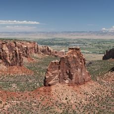
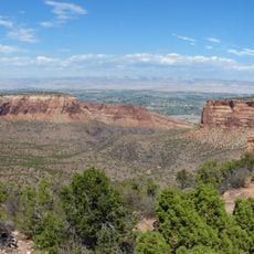
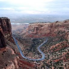
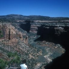
The Ute Meridian is a principal meridian that runs through the Grand Valley in Colorado, serving as a reference line for land surveying and division. This survey line extends across the landscape and establishes the framework for how properties and sections are organized across the region.
The meridian was established in 1880 by the General Land Office to organize land surveying and create a systematic framework for property division. This survey line marked a turning point in how the region's territory was measured and managed for administrative purposes.
The Three Mile Method of surveying, developed specifically for the Ute Meridian, established a framework that included all quarter corners of each section.
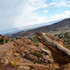
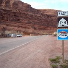
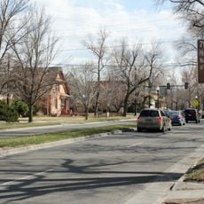
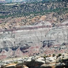
The meridian runs through varied landscapes ranging from developed areas to open valleys, making it difficult to see as a single visible line. To understand how this survey line functions, visitors can look for surveying markers or stone monuments that may be placed at key points, particularly near roads or property boundaries.
The survey methods used here included corner markers placed at quarter-section intervals, allowing for very detailed land divisions across the valley. This approach was developed specifically for this location and worked differently from surveying systems used elsewhere in the country.
The community of curious travelers
AroundUs brings together thousands of curated places, local tips, and hidden gems, enriched daily by 60,000 contributors worldwide.