Chest opened
+${chestReward.xp} XP
Explorer
NOUVEAU ×${chestReward.collectible.quantity}
tapez pour fermer

See the monuments around you in AR Open chests in the app

Around Us is built for your phone — point your camera at the streets and discover the monuments and places around you in augmented reality. Around Us is built for your phone — chests unlock when you walk, explore and capture nearby places.

Enable Location

We need your location to show you interesting places around you

Discover nearby places

Find interesting locations and hidden gems around you

Precise directions

Get accurate directions and distances to places

Your location is never shared with other users. It's only used when you tap the location button.

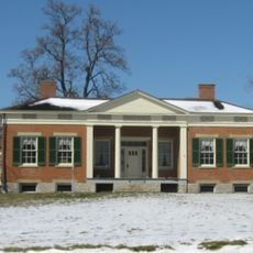
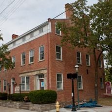
Williamson Mound Archeological District

Log in to your account

Start exploring — it's free

Trusted by 86,798 travelers worldwide

Continue with Google
Continue with Apple
or

We will send you a code to connect

By continuing, you accept our Terms and Conditions and our Privacy Policy

Check your inbox

We've sent a pincode in your inbox. Please enter the code below.

Discussion Reviews 1 Photos
1.3k Popularity

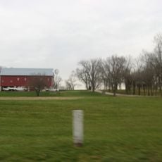
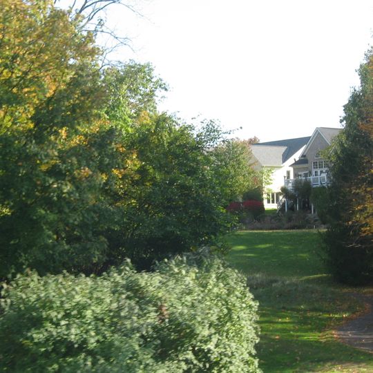
Williamson Mound Archeological District, Archaeological mound from Native American period in Butler County, Ohio.

Williamson Mound is an archaeological site in Butler County, Ohio, rising above an intermittent stream on a ridgeline. The mound covers 25 acres and displays the earthwork form typical of Native American construction practices.

The site connects to the Hopewell tradition, a major culture that flourished for centuries before European contact in the region. It entered the National Register of Historic Places in 1975, acknowledging its archaeological importance.

This burial mound contains substantial evidence of Native American mortuary practices from the centuries preceding the Christian era.

Access to the site requires coordination with local authorities and is not open for casual visits. Plan ahead by contacting the responsible archaeological officials before traveling.

A limited excavation at the mound's summit before 1972 uncovered valuable insights into burial practices. This early research approach preserved the monument's structure largely intact.

The community of curious travelers

AroundUs brings together thousands of curated places, local tips, and hidden gems, enriched daily by 60,000 contributors worldwide.
Start exploring
Location
GPS coordinates
39.36667,-84.39500
Latest update
September 12, 2026 09:07
Around this place
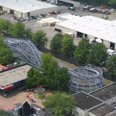
Kings Island
United States of America

Kings Island

7.2 mi
LeSourdesville Lake Amusement Park
United States of America

LeSourdesville Lake Amusement Park

5.8 mi
Woodstock Express
United States of America

Woodstock Express

6.9 mi
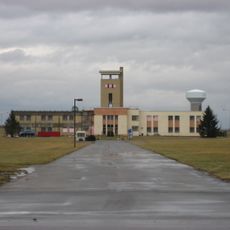
Voice of America Bethany Relay Station
United States of America

Voice of America Bethany Relay Station

2.2 mi
Soak City
United States of America

Soak City

6.7 mi
Scooby's Ghoster Coaster
United States of America

Scooby's Ghoster Coaster

6.9 mi
Main Event
United States of America

Main Event

3.7 mi
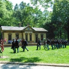
Heritage Village Museum
United States of America

Heritage Village Museum

6.1 mi
Spread Eagle Tavern–James D. Conrey House
United States of America

Spread Eagle Tavern–James D. Conrey House

4.1 mi
Becker House
United States of America

Becker House

6.2 mi
Hughes Manor
United States of America

Hughes Manor

5.7 mi
Twelve Mile House
United States of America

Twelve Mile House

6.8 mi
Henry P. Deuscher House
United States of America

Henry P. Deuscher House

6.5 mi
Frederick Augspurger Farm
United States of America

Frederick Augspurger Farm

6.6 mi
Mill Office and Post Office
United States of America

Mill Office and Post Office

6.3 mi
Samuel Augspurger House
United States of America

Samuel Augspurger House

6.3 mi
Hughes School
United States of America

Hughes School

1.9 mi
Samuel Augspurger Farm
United States of America

Samuel Augspurger Farm

6.3 mi
Augspurger Paper Company Rowhouse 1
United States of America

Augspurger Paper Company Rowhouse 1

6.4 mi
Augspurger Schoolhouse
United States of America

Augspurger Schoolhouse

6.4 mi
John Kennel Jr. Farm
United States of America

John Kennel Jr. Farm

7 mi
Augspurger Paper Company Rowhouse 2
United States of America

Augspurger Paper Company Rowhouse 2

6.3 mi
John Augspurger Farm No. 1
United States of America

John Augspurger Farm No. 1

6.8 mi
Christian Iutzi Farm
United States of America

Christian Iutzi Farm

6.4 mi
Invertigo
United States of America

Invertigo

6.9 mi
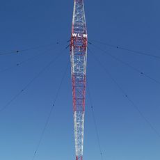
WLW Tower
United States of America

WLW Tower

3.9 mi
Sharonville Family Aquatics Center
United States of America

Sharonville Family Aquatics Center

6.7 mi
Kemper Log House
United States of America

Kemper Log House

6 mi
Show the full map
Reviews
Share your experience

No review yet

Discussions
Start a discussion...

No discussion yet

« Williamson Mound Archeological District - Archaeological mound from Native American period in Butler County, Ohio » is provided by Around Us (aroundus.com). Images and texts are derived from Wikimedia project under a Creative Commons license. You are allowed to copy, distribute, and modify copies of this page, under the conditions set by the license, as long as this note is clearly visible.

Discover hidden gems everywhere you go!

From secret cafés to breathtaking viewpoints, skip the crowded tourist spots and find places that match your style. Our app makes it easy with voice search, smart filtering, route optimization, and insider tips from travelers worldwide. Download now for the complete mobile experience.
Around Us App Screenshot

A unique approach to discovering new places

Le Figaro

All the places worth exploring

France Info

A tailor-made excursion in just a few clicks

20 Minutes

Around Us
Travel Guide & Maps
Download

Send to your phone

QR Code
1

Open the camera app on your mobile.

2

Point at the QR code with your camera. A notification will appear.

3

Tap the notification to open the link.