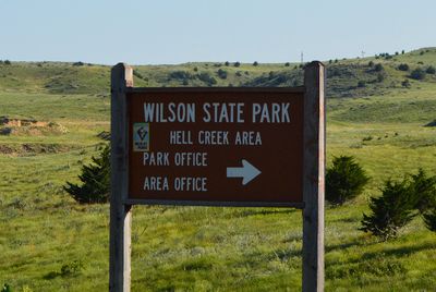
Wilson State Park, Public recreational area in Russell County, Kansas, US
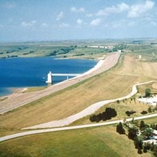
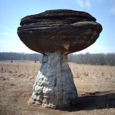
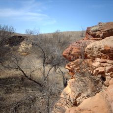
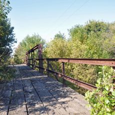
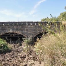
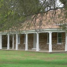
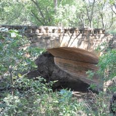
Wilson State Park is a public recreational area in Russell County featuring a large reservoir, limestone outcrops, cedar forests, and grasslands. The park spans multiple sections, each with distinct landscapes and habitats around the shoreline.
The state park was established in 1966, beginning with the Hell Creek Area as its original foundation. A subsequent expansion brought the Otoe Area into the park system.
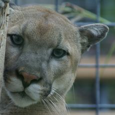
The park serves as a place where visitors can observe the natural plants and animals of the region, from wildflowers to deer and waterfowl. These creatures can be spotted along walking trails, and interpretive programs help explain what you are seeing.
The park offers several campgrounds with modern facilities and drinking water that can be reserved in advance. Weather conditions vary significantly by season, so visitors should plan accordingly.
A popular mountain biking trail network extends across many kilometers through the park. Riders encounter technical sections and varying elevation changes that test their skills throughout their journey.
Location: Russell County
Inception: 1966
Website: https://ksoutdoors.com/State-Parks/Locations/Wilson
GPS coordinates: 38.91667,-98.50444
Latest update: December 12, 2025 17:48
Wilson Lake
5.2 km
Mushroom Rock State Park
46.3 km
Basilica of St. Fidelis
56.4 km
Meades Ranch Triangulation Station
34.4 km
Kanopolis State Park
52.5 km
Fort Harker
37.9 km
Rolling Hills Zoo
64.5 km
Dream Theater
30.9 km
Kanopolis Drive-in Theatre
37.2 km
Bridge 650
29.7 km
Paradise Water Tower
42 km
Natoma Presbyterian Church
54 km
Danske Evangelist Lutheran Kirke
27.5 km
Santa Fe Trail
62.4 km
Arthur Larkin House
31.7 km
Ellsworth Downtown Historic District
31.6 km
Lincoln County Courthouse
34.1 km
Osborne Public Carnegie Library
60.4 km
Perry Hodgden House
31.5 km
Cummins Block Building
33.9 km
Insurance Building
31.6 km
Samuel P. Dinsmoor's Garden of Eden
15.9 km
Ft Harker Museum
37.6 km
Salt Creek Bridge
50.7 km
Spring Creek Tributary Bridge
22.6 km
Fort Harker Officers' Quarters
37.8 km
Bullfoot Creek Bridge
22 km
Fort Harker Guardhouse
37.6 kmVisited this place? Tap the stars to rate it and share your experience / photos with the community! Try now! You can cancel it anytime.
Discover hidden gems everywhere you go!
From secret cafés to breathtaking viewpoints, skip the crowded tourist spots and find places that match your style. Our app makes it easy with voice search, smart filtering, route optimization, and insider tips from travelers worldwide. Download now for the complete mobile experience.
A unique approach to discovering new places❞
— Le Figaro
All the places worth exploring❞
— France Info
A tailor-made excursion in just a few clicks❞
— 20 Minutes