Chest opened
+${chestReward.xp} XP
Explorer
NOUVEAU ×${chestReward.collectible.quantity}
tapez pour fermer

See the monuments around you in AR Open chests in the app

Around Us is built for your phone — point your camera at the streets and discover the monuments and places around you in augmented reality. Around Us is built for your phone — chests unlock when you walk, explore and capture nearby places.

Enable Location

We need your location to show you interesting places around you

Discover nearby places

Find interesting locations and hidden gems around you

Precise directions

Get accurate directions and distances to places

Your location is never shared with other users. It's only used when you tap the location button.

Wilson Lake

Log in to your account

Start exploring — it's free

Trusted by 85,805 travelers worldwide

Continue with Google
Continue with Apple
or

We will send you a code to connect

By continuing, you accept our Terms and Conditions and our Privacy Policy

Check your inbox

We've sent a pincode in your inbox. Please enter the code below.

Wilson Lake
Discussion Reviews 1 Photos
12.3k Popularity

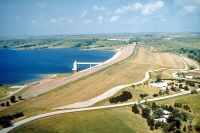
Wilson Lake, Reservoir in Russell County, Kansas, US

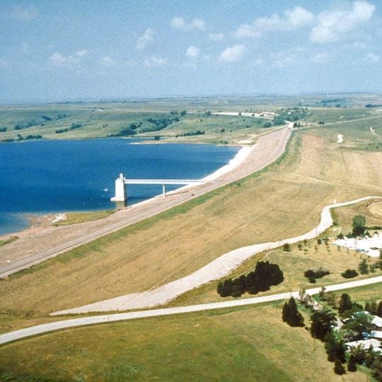
Wilson Lake is a reservoir in north-central Kansas with clear water covering an area of about 3,660 hectares (9,045 acres). Sandstone cliffs and rocky outcrops line the shoreline along the Saline River, creating a distinctive landscape that shapes the water's edge.

The lake was created in 1964 when the Army Corps of Engineers completed the Wilson Dam as a flood control project. This development transformed the landscape and established the water body that exists today.

The reservoir draws people seeking outdoor recreation and a connection to the water and surrounding landscape. It serves as a gathering place for families and friends who come to fish, boat, and enjoy time together by the shore.

Boat access is available at Lucas Park, Minooka Park, and the Spillway area, making it easy to get on the water. Camping facilities are located near the shoreline, providing convenient overnight options for visitors.

The Rocktown Natural Area features sandstone formations towering between 15 and 30 feet (5-9 meters) high, displaying the geological character of the Kansas landscape. These rock structures offer a striking contrast to the water and draw visitors interested in geology.

The community of curious travelers

AroundUs brings together thousands of curated places, local tips, and hidden gems, enriched daily by 60,000 contributors worldwide.
Start exploring
Location
GPS coordinates
38.94030,-98.55670
Latest update
August 29, 2026 21:42
Around this place
Mushroom Rock State Park
United States of America

Mushroom Rock State Park

32 mi
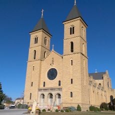
Basilica of St. Fidelis
United States of America

Basilica of St. Fidelis

32.5 mi
Meades Ranch Triangulation Station
United States of America

Meades Ranch Triangulation Station

19.7 mi
United States of America

Waconda Lake

39.3 mi
Kanopolis State Park
United States of America

Kanopolis State Park

35.8 mi
Fort Harker
United States of America

Fort Harker

26.8 mi
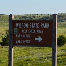
Wilson State Park
United States of America

Wilson State Park

3.3 mi
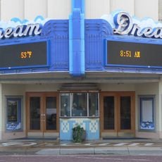
Dream Theater
United States of America

Dream Theater

16.7 mi
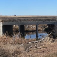
Bridge 650
United States of America

Bridge 650

18.8 mi
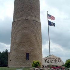
Paradise Water Tower
United States of America

Paradise Water Tower

22.9 mi
Natoma Presbyterian Church
United States of America

Natoma Presbyterian Church

30.3 mi
Danske Evangelist Lutheran Kirke
United States of America

Danske Evangelist Lutheran Kirke

18.2 mi
Old Cawker City Library
United States of America

Old Cawker City Library

40 mi
Downs Carnegie Library
United States of America

Downs Carnegie Library

38.7 mi
Arthur Larkin House
United States of America

Arthur Larkin House

22.9 mi
Ellsworth Downtown Historic District
United States of America

Ellsworth Downtown Historic District

22.8 mi
Lincoln County Courthouse
United States of America

Lincoln County Courthouse

23.2 mi
Osborne Public Carnegie Library
United States of America

Osborne Public Carnegie Library

35.3 mi
Perry Hodgden House
United States of America

Perry Hodgden House

22.8 mi
Cummins Block Building
United States of America

Cummins Block Building

23.1 mi
Insurance Building
United States of America

Insurance Building

22.8 mi
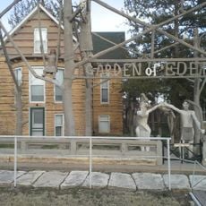
Samuel P. Dinsmoor's Garden of Eden
United States of America

Samuel P. Dinsmoor's Garden of Eden

8.2 mi
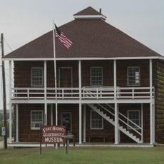
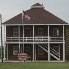
Ft Harker Museum
United States of America

Ft Harker Museum

26.6 mi
Spring Creek Tributary Bridge
United States of America

Spring Creek Tributary Bridge

17 mi
Salt Creek Bridge
United States of America

Salt Creek Bridge

32.8 mi
Bullfoot Creek Bridge
United States of America

Bullfoot Creek Bridge

16 mi
Fort Harker Officers' Quarters
United States of America

Fort Harker Officers' Quarters

26.7 mi
Fort Harker Guardhouse
United States of America

Fort Harker Guardhouse

26.6 mi
Show the full map
Reviews
Share your experience

No review yet

Discussions
Start a discussion...

No discussion yet

« Wilson Lake - Reservoir in Russell County, Kansas, US » is provided by Around Us (aroundus.com). Images and texts are derived from Wikimedia project under a Creative Commons license. You are allowed to copy, distribute, and modify copies of this page, under the conditions set by the license, as long as this note is clearly visible.

Discover hidden gems everywhere you go!

From secret cafés to breathtaking viewpoints, skip the crowded tourist spots and find places that match your style. Our app makes it easy with voice search, smart filtering, route optimization, and insider tips from travelers worldwide. Download now for the complete mobile experience.

Around Us App Screenshot

A unique approach to discovering new places

Le Figaro

All the places worth exploring

France Info

A tailor-made excursion in just a few clicks

20 Minutes

Around Us
Travel Guide & Maps
Download

Send to your phone

QR Code
1

Open the camera app on your mobile.

2

Point at the QR code with your camera. A notification will appear.

3

Tap the notification to open the link.