
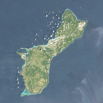
Mount Bolanos, Mountain peak in Talo'fo'fo' Municipality, Guam
Mount Bolanos rises to an elevation of 368 meters, forming a natural boundary between the villages of Umatac, Talofofo, and Inarajan on the island of Guam.
The mountain has been marked on USGS topographical maps under the Agat designation, serving as a navigation point for generations of Guam inhabitants.
The mountain functions as a central geographical reference point for local communities, connecting three distinct village territories within the Guamanian landscape.
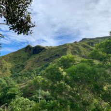
Visitors approaching Mount Bolanos should bring sufficient water supplies and navigation equipment, as the area lacks developed facilities and marked hiking trails.
Mount Bolanos stands as the third highest peak in Guam, following Mount Lamlam and Mount Jumullong Manglo, contributing to the island's varied topographical profile.
Location: Talo’fo’fo’ Municipality
Elevation above the sea: 368 m
GPS coordinates: 13.29959,144.68753
Latest update: March 17, 2025 20:01
Mount Lamlam
4.8 km
War in the Pacific National Historical Park
2.2 km
Plaza de España
20.6 km
Blue Hole (Guam)
17.3 km
Japanese midget submarine Ha. 62-76
15 km
Guam Congress Building
20.7 km
Piti Bomb Holes Marine Preserve
19.1 km
Orote Field
16.1 km
Piti Guns
18.1 km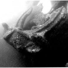
Aratama Maru
9.5 km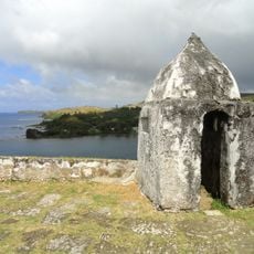
Fort Nuestra Señora de la Soledad
3.3 km
Fort Santa Agueda
20.4 km
Asan Invasion Beach
19.4 km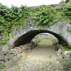
Agana Spanish Bridge
20.6 km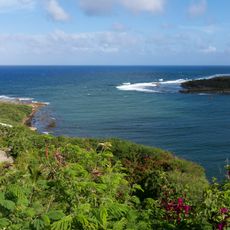
Talofofo Bay
9.6 km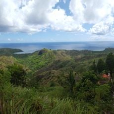
Cetti Bay
4.1 km
Umatac Outdoor Library
2.9 km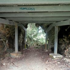
Agat Invasion Beach
10.2 km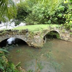
Taleyfac Spanish Bridge
8.2 km
Guam Cable Station
16 km
Fort Santo Angel
3.4 km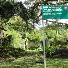
San Dionisio Church Ruins
2.9 km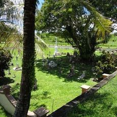
Sumay Cemetery
15.6 km
Mount Jumullong Manglo
3.7 km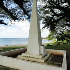
Magellan Monument
2.7 km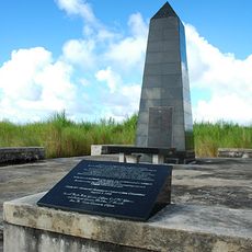
Korean Air Flight KE801 1997-Crash Memorial
18 km
Nieves M. Flores Memorial Library
20.6 km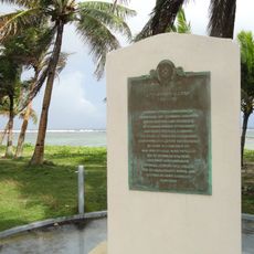
Apolinario Mabini historical marker
19.6 kmReviews
Visited this place? Tap the stars to rate it and share your experience / photos with the community! Try now! You can cancel it anytime.
Discover hidden gems everywhere you go!
From secret cafés to breathtaking viewpoints, skip the crowded tourist spots and find places that match your style. Our app makes it easy with voice search, smart filtering, route optimization, and insider tips from travelers worldwide. Download now for the complete mobile experience.

A unique approach to discovering new places❞
— Le Figaro
All the places worth exploring❞
— France Info
A tailor-made excursion in just a few clicks❞
— 20 Minutes