Mount Lamlam, Mountain peak in Agat, Guam.
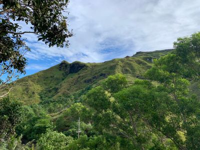
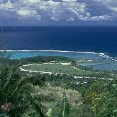
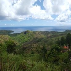
Mount Lamlam is a mountain peak in Agat, Guam, rising to 406 meters above sea level. It forms the highest elevation point on the island situated in the western Pacific Ocean.
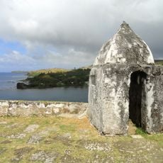
The mountain was designated as a National Natural Landmark by the United States in 1972, recognizing its geological importance to the Pacific island territory. This designation protects its natural features for future generations.
The name Lamlam comes from the Chamorro language and means lightning, showing how locals connect this mountain with natural forces. The word reflects how the community has historically viewed this prominent landform.
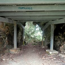
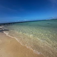
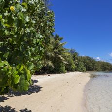
The hike follows a round trip trail of about 4 kilometers starting from Bakanan Cetti Overlook, requiring you to cross the road to reach the mountain path. The trail demands sure footing on uneven ground and proper preparation for tropical heat.
The distance from the Mariana Trench floor to this peak represents the greatest elevation change on Earth, exceeding 11 kilometers. This contrast between deepest ocean floor and mountain top makes the location geologically extraordinary.
The community of curious travelers
AroundUs brings together thousands of curated places, local tips, and hidden gems, enriched daily by 60,000 contributors worldwide.