Guam, Island territory in western Pacific Ocean, United States.
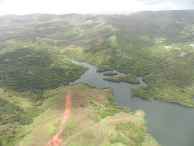
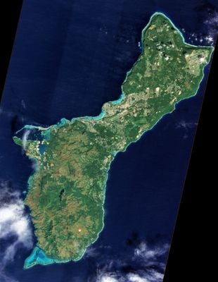
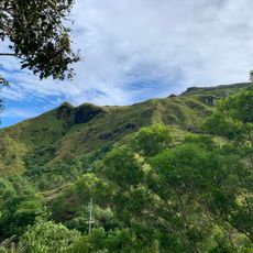
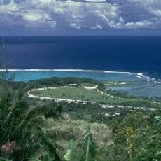
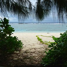
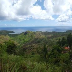
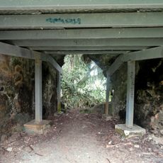
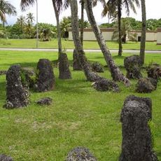
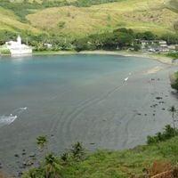
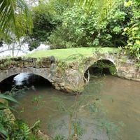
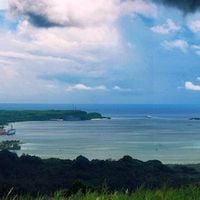
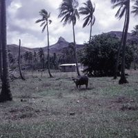
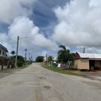
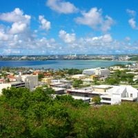
Guam is a territory of the United States in the western Pacific Ocean, covering roughly 210 square miles and surrounded by coral reefs. Limestone plateaus stretch across the northern half, while volcanic hills rise in the south to Mount Lamlam at around 405 meters (1332 feet), flanked by tropical forest and coastal lowlands.
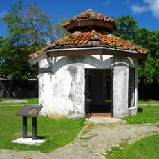
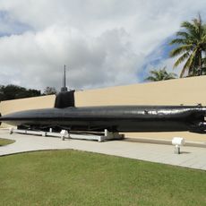
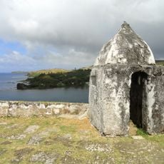
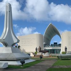
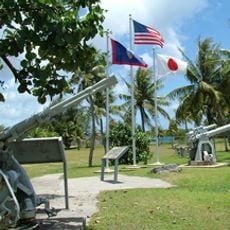
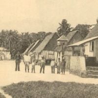
The United States Navy took control from Spain in June 1898 during the Spanish-American War after Spanish officials mistook warship gunfire for a salute. Military administration shaped infrastructure and social organization for decades afterward until civilian government gradually replaced it.
Chamorro families keep their Malayo-Indonesian roots alive through daily language, community gatherings, and traditional practices visible across the island. You hear both English and Chamorro in markets, restaurants, and public events, while Asian and Pacific influences shape food, music, and local customs.
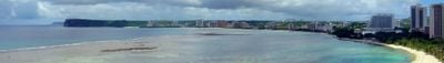
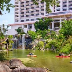
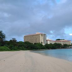
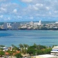
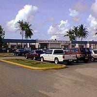
The international airport handles over one million arrivals each year, most heading to hotel areas around Tumon Bay. Duty-free status and the commercial port also draw traders and small manufacturers, supporting the local economy.
The brown tree snake arrived in the 1940s and wiped out most native bird populations, altering the ecological balance across the territory. These snakes now inhabit nearly every tree canopy, continuing to shape plant and animal life on the island.
The community of curious travelers
AroundUs brings together thousands of curated places, local tips, and hidden gems, enriched daily by 60,000 contributors worldwide.