Enable Location

We need your location to show you interesting places around you

Discover nearby places

Find interesting locations and hidden gems around you

Precise directions

Get accurate directions and distances to places

Your location is never shared with other users. It's only used when you tap the location button.

Yigo

Log in to your account

Start exploring — it's free

Trusted by 63,411 travelers worldwide

Continue with Google
Continue with Apple
or

We will send you a code to connect

By continuing, you accept our Terms and Conditions and our Privacy Policy

Check your inbox

We've sent a pincode in your inbox. Please enter the code below.

Discussion Reviews 1 Photos
16.5k Popularity

Yigo, village of Guam, a municipality in the United States territory

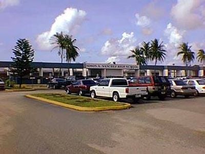
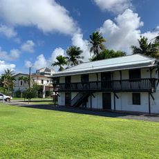
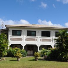
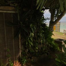
Yigo is a large village in northern Guam with expansive open fields and dense forests throughout the area. Houses sit spread apart on fertile land long used for farming, while the nearby Air Force Base shapes part of the modern landscape.

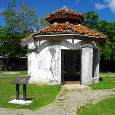
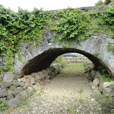
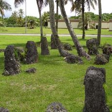
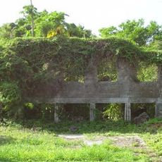
Yigo was long home to the Chamorro people who built latte stone dwellings, with ruins still visible in nearby hills. In the 1600s, Chamorros fought Spanish occupation, especially at Hanom, before American involvement eventually reshaped the village into what exists today.

Yigo is shaped by Chamorro culture that lives on through daily practices like farming and family gatherings in the community. The annual fiesta honoring Our Lady of Lourdes in February shows how locals celebrate with traditional music, food, and dance at community events.

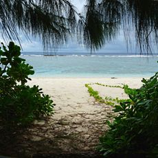
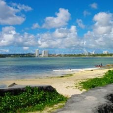
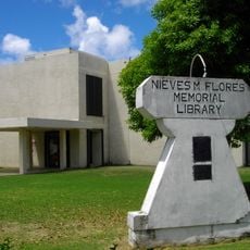
Yigo is easily reached by car or bike with simple roads and laid-back travel feel throughout the area. The village has local shops and lodging options, with protected beaches and historical sites that visitors can explore at their own pace.

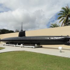
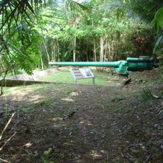
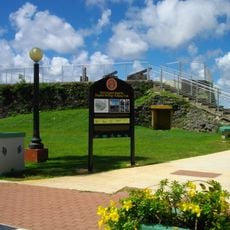
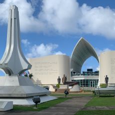
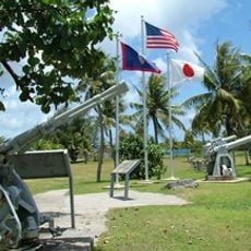
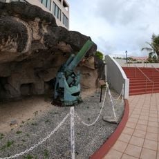
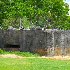
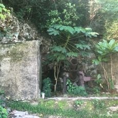
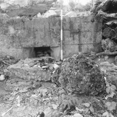
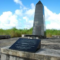
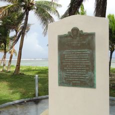
Mount Santa Rosa, the highest point in northern Guam, offers views of the entire island and shows traces of a past pineapple farm on its slopes. The mountain also holds important war memorials marking the last battle of World War II in Guam and reflecting the area's layered history.

The community of curious travelers

AroundUs brings together thousands of curated places, local tips, and hidden gems, enriched daily by 60,000 contributors worldwide.

Start exploring
Location
GPS coordinates
13.53440,144.88600
Latest update
February 17, 2026 02:00
Around this place
Plaza de España
United States of America

Plaza de España

16 km
Guam National Wildlife Refuge
United States of America

Guam National Wildlife Refuge

13.2 km
Japanese midget submarine Ha. 62-76
United States of America

Japanese midget submarine Ha. 62-76

28.5 km
Guam Congress Building
United States of America

Guam Congress Building

15.9 km
United States of America

UnderWater World Guam

8.9 km
United States of America

Piti Bomb Holes Marine Preserve

21.2 km
Piti Guns
United States of America

Piti Guns

22.2 km
Aratama Maru
United States of America

Aratama Maru

25.7 km
Fort Santa Agueda
United States of America

Fort Santa Agueda

16.4 km
Guam Museum
United States of America

Guam Museum

16 km
An-Noor Mosque
United States of America

An-Noor Mosque

13.1 km
Asan Invasion Beach
United States of America

Asan Invasion Beach

20.4 km
Agana Spanish Bridge
United States of America

Agana Spanish Bridge

16.3 km
United States of America

Talofofo Bay

25.4 km
South Finegayan Latte Stone Park
United States of America

South Finegayan Latte Stone Park

6.8 km
Guam Cable Station
United States of America

Guam Cable Station

27.8 km
Sumay Cemetery
United States of America

Sumay Cemetery

27.4 km
Dungcas Beach Defense Guns
United States of America

Dungcas Beach Defense Guns

13.2 km
Agana Historic District
United States of America

Agana Historic District

14.8 km
Agana-Hagatna Pillbox
United States of America

Agana-Hagatna Pillbox

16.1 km
Gongna Beach defenses
United States of America

Gongna Beach defenses

9.3 km
Toves House
United States of America

Toves House

5.9 km
As Sombreru Pillboxes
United States of America

As Sombreru Pillboxes

10.2 km
Ipao Pillbox I
United States of America

Ipao Pillbox I

11.5 km
Korean Air Flight KE801 1997-Crash Memorial
United States of America

Korean Air Flight KE801 1997-Crash Memorial

18.8 km
Trinchera Beach
United States of America

Trinchera Beach

14.3 km
Nieves M. Flores Memorial Library
United States of America

Nieves M. Flores Memorial Library

15.9 km
Apolinario Mabini historical marker
United States of America

Apolinario Mabini historical marker

20.3 km
Show the full map
Reviews
Share your experience

No review yet

Discussions
Start a discussion...

No discussion yet

« Yigo - village of Guam, a municipality in the United States territory » is provided by Around Us (aroundus.com). Images and texts are derived from Wikimedia project under a Creative Commons license. You are allowed to copy, distribute, and modify copies of this page, under the conditions set by the license, as long as this note is clearly visible.

Discover hidden gems everywhere you go!

From secret cafés to breathtaking viewpoints, skip the crowded tourist spots and find places that match your style. Our app makes it easy with voice search, smart filtering, route optimization, and insider tips from travelers worldwide. Download now for the complete mobile experience.

Around Us App Screenshot

A unique approach to discovering new places

Le Figaro

All the places worth exploring

France Info

A tailor-made excursion in just a few clicks

20 Minutes

Around Us
Travel Guide & Maps
Download

Send to your phone

QR Code
1

Open the camera app on your mobile.

2

Point at the QR code with your camera. A notification will appear.

3

Tap the notification to open the link.