
Wayne Township, township in Warren County, Ohio
Location: Warren County
Elevation above the sea: 220 m
GPS coordinates: 39.52944,-84.08194
Latest update: April 11, 2025 01:47

Caesar Creek State Park
5.9 km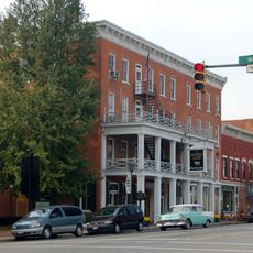
Golden Lamb Inn
15.2 km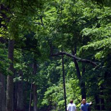
Fort Ancient
13.6 km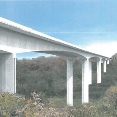
Jeremiah Morrow Bridge
12.4 km
Fraze Pavilion
19.8 km
Charles F. Kettering House
20.6 km
Ohio Soldiers' and Sailors' Orphans' Home
20.2 km
Cox Arboretum and Gardens MetroPark
18.6 km
La Comedia Dinner Theatre
15.6 km
Lebanon Mason Monroe Railroad
15.3 km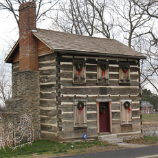
Old Log Post Office
19.4 km
Keiter Mound
17.5 km
Bone Stone Graves
6.4 km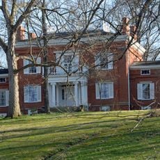
Glendower State Memorial
15.6 km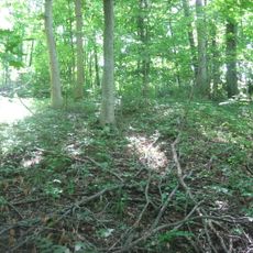
Hillside Haven Mound
14.7 km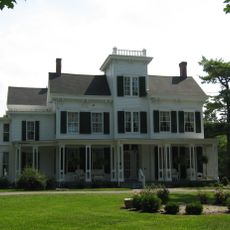
Dr. Aaron Wright House
13.8 km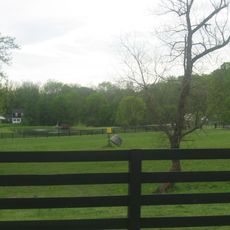
Bone Mound II
6.3 km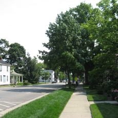
Springboro Historic District
13.2 km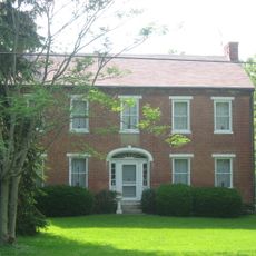
Berryhill-Morris House
8.3 km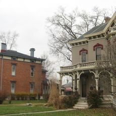
Mackinaw Historic District
19.7 km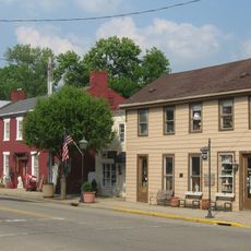
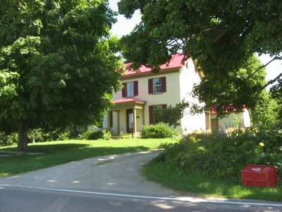
Waynesville Main Street Historic District
387 m
Charles Butler House
19.1 km
Mohrman-Jack-Evans House
14.3 km
Eden Thirkfield Home
19.5 km
Moar Mound and Village Site
20.9 km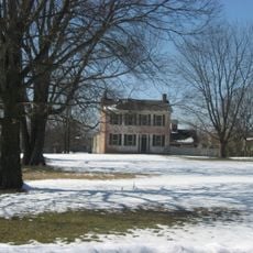
Corwin House
15.4 km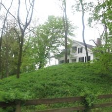
Waynesville Greek Revival Houses
1.1 km
Harmon Museum
15.3 kmVisited this place? Tap the stars to rate it and share your experience / photos with the community! Try now! You can cancel it anytime.
Discover hidden gems everywhere you go!
From secret cafés to breathtaking viewpoints, skip the crowded tourist spots and find places that match your style. Our app makes it easy with voice search, smart filtering, route optimization, and insider tips from travelers worldwide. Download now for the complete mobile experience.

A unique approach to discovering new places❞
— Le Figaro
All the places worth exploring❞
— France Info
A tailor-made excursion in just a few clicks❞
— 20 Minutes