Chest opened
+${chestReward.xp} XP
Explorer
NOUVEAU ×${chestReward.collectible.quantity}
tapez pour fermer

See the monuments around you in AR Open chests in the app

Around Us is built for your phone — point your camera at the streets and discover the monuments and places around you in augmented reality. Around Us is built for your phone — chests unlock when you walk, explore and capture nearby places.

Enable Location

We need your location to show you interesting places around you

Discover nearby places

Find interesting locations and hidden gems around you

Precise directions

Get accurate directions and distances to places

Your location is never shared with other users. It's only used when you tap the location button.

Log in to your account

Start exploring — it's free

Trusted by 83,986 travelers worldwide

Continue with Google
Continue with Apple
or

We will send you a code to connect

By continuing, you accept our Terms and Conditions and our Privacy Policy

Check your inbox

We've sent a pincode in your inbox. Please enter the code below.

Discussion Reviews Photo
1.4k Popularity

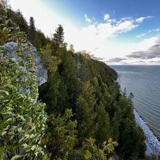
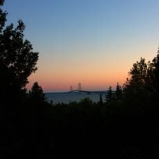
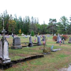
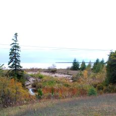
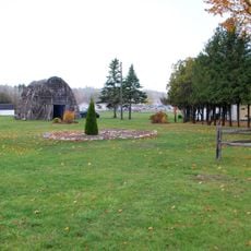
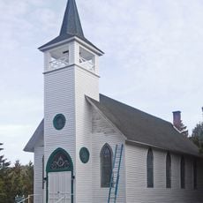
Horseshoe Bay Wilderness, Protected wilderness area in Mackinac County, Michigan.

Horseshoe Bay Wilderness is a protected nature reserve near Lake Huron with about 3,800 acres (1,540 hectares) of natural forest and wetland habitat. The shoreline stretches for several miles along the water, where dense woods meet the lake's rocky edge.

Indigenous peoples relied on these wetlands for fishing and gathered materials like birch bark and cedar roots to build canoes for travel on the water. The landscape itself developed after the last ice age, when the lake's water level dropped and created the wetlands that exist today.

The Forest Service maintains a 2.5-mile trail from Foley Creek parking lot into the wilderness, allowing visitors to explore the natural environment.

The area is accessible via Highway H-63 north of St. Ignace, with a hiking trail of about four kilometers starting from a parking area at Foley Creek. The trail works best to walk during dry weather since the wetland areas can be muddy and soft in wet conditions.

The wetlands here formed when Lake Huron's water level dropped after the last ice age, creating a patchwork of different habitats and terrain. Walking through reveals the shift from old lakeshore areas to current forest, visible in how the plant life and ground change across the landscape.

The community of curious travelers

AroundUs brings together thousands of curated places, local tips, and hidden gems, enriched daily by 60,000 contributors worldwide.
Start exploring
Location
Inception
1987
Operator
United States Forest Service
GPS coordinates
45.98175,-84.70494
Latest update
August 12, 2026 11:38
Around this place
Mackinac National Park
United States of America

Mackinac National Park

14.5 km
Mackinac Island State Park
United States of America

Mackinac Island State Park

14.5 km
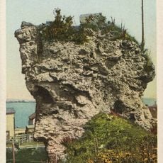
Castle Rock
United States of America

Castle Rock

8.4 km
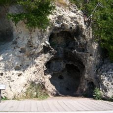
Skull Cave
United States of America

Skull Cave

15.4 km
Devil's Kitchen
United States of America

Devil's Kitchen

15 km
Father Marquette National Memorial
United States of America

Father Marquette National Memorial

14.5 km
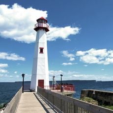
Wawatam Lighthouse
United States of America

Wawatam Lighthouse

12.9 km
Straits State Park
United States of America

Straits State Park

14.4 km
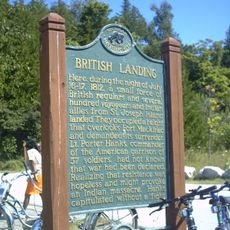
British Landing
United States of America

British Landing

12.5 km
St. Anthony's Rock
United States of America

St. Anthony's Rock

12.8 km
St. Ignace Mission
United States of America

St. Ignace Mission

12.4 km
United States of America

Mackinac Wilderness

12.5 km
John Chambers House
United States of America

John Chambers House

12.8 km
Gros Cap Cemetery
United States of America

Gros Cap Cemetery

14.4 km
Gros Cap Archaeological District
United States of America

Gros Cap Archaeological District

14.8 km
Marquette Street Archaeological District
United States of America

Marquette Street Archaeological District

13 km
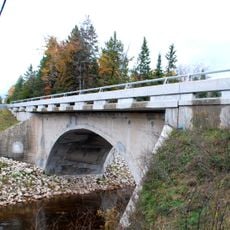
Mackinac Trail – Carp River Bridge
United States of America

Mackinac Trail – Carp River Bridge

4.2 km
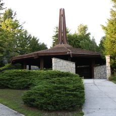
Sacred Heart-Gros Cap Church
United States of America

Sacred Heart-Gros Cap Church

15.5 km
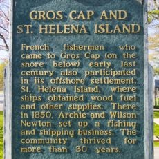
Gros Cap and Saint Helena Island Historical Marker
United States of America

Gros Cap and Saint Helena Island Historical Marker

14.6 km
United States of America

Crack in the Island

13.9 km

Chain Lake Beach

12 km
United States of America

Statue

12.4 km
United States of America

Sugar Loaf View

15 km
United States of America

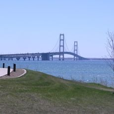
Mackinac Bridge Overlook

14.6 km
United States of America

Scenic viewpoint

15.2 km
United States of America

Scenic viewpoint

15.1 km
United States of America

Scenic viewpoint

14.2 km
United States of America

Scenic viewpoint

15.1 km
Show the full map
Reviews
Share your experience

No review yet

Discussions
Start a discussion...

No discussion yet

« Horseshoe Bay Wilderness - Protected wilderness area in Mackinac County, Michigan » is provided by Around Us (aroundus.com). Images and texts are derived from Wikimedia project under a Creative Commons license. You are allowed to copy, distribute, and modify copies of this page, under the conditions set by the license, as long as this note is clearly visible.

Discover hidden gems everywhere you go!

From secret cafés to breathtaking viewpoints, skip the crowded tourist spots and find places that match your style. Our app makes it easy with voice search, smart filtering, route optimization, and insider tips from travelers worldwide. Download now for the complete mobile experience.

Around Us App Screenshot

A unique approach to discovering new places

Le Figaro

All the places worth exploring

France Info

A tailor-made excursion in just a few clicks

20 Minutes

Around Us
Travel Guide & Maps
Download

Send to your phone

QR Code
1

Open the camera app on your mobile.

2

Point at the QR code with your camera. A notification will appear.

3

Tap the notification to open the link.