Star Junction Historic District, Historic district in Perry Township, Pennsylvania.
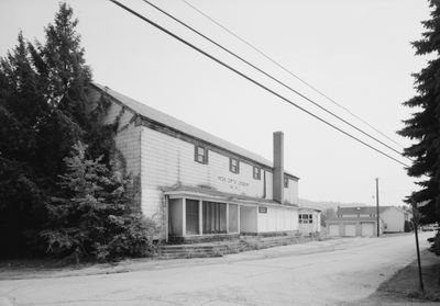
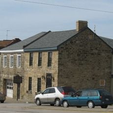
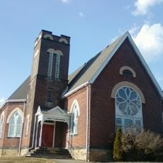
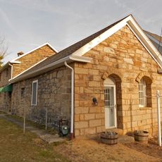
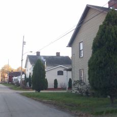
Star Junction Historic District is a coal mining settlement in Pennsylvania spread across roughly 100 acres and containing around 160 structures dating from the 1890s through 1920s, including worker housing, industrial facilities, and public buildings. The site preserves a complete snapshot of an industrial community layout with residential, religious, and commercial structures still standing throughout the area.
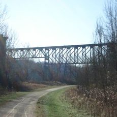
The district took shape starting in 1893 when the Washington Coal and Coke Company opened Washington No. 2 Mine, drawing workers who needed housing in the newly developing settlement. Mining operations remained the core activity for roughly two decades, shaping the entire growth and structure of the community during that period.
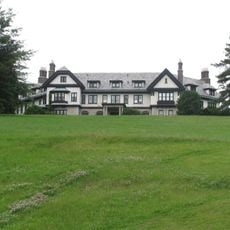
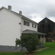
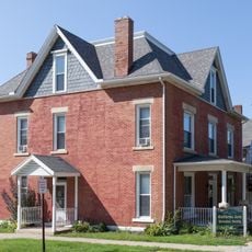
The layout of housing reflects the social hierarchy of the mining era, with simple duplex homes for workers clustered together and larger manager residences set apart on what was called Tony Row. Walking through reveals how the physical arrangement of buildings reinforced the class divisions of that industrial period.
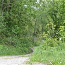
The site sits at the junction of Pennsylvania Route 51 and Route 4036, making it accessible by car. Since buildings are spread across the area, comfortable walking shoes and time to explore at a leisurely pace will enhance your visit.
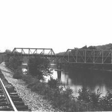
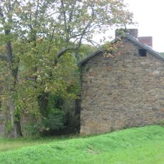
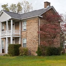
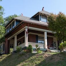
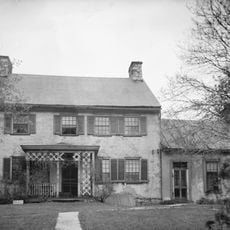
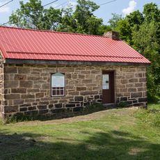
The site contains an earthen dam reservoir from 1892 that predates most of the worker housing and originally supplied water for mining operations. This older water infrastructure stands alongside the Whitsett farmhouse from 1845, which shows that a settled agricultural community existed in the area before the mining boom.
The community of curious travelers
AroundUs brings together thousands of curated places, local tips, and hidden gems, enriched daily by 60,000 contributors worldwide.