
Goat Wall, cliff in Okanogan County, Washington, United States of America
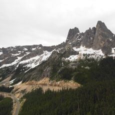
Washington pass
18.7 km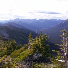
Pasayten Wilderness
24.9 km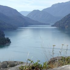
Lake Chelan National Recreation Area
35.2 km
Pearrygin Lake State Park
26.7 km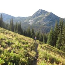
Lake Chelan-Sawtooth Wilderness
31.9 km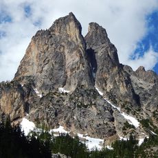
Early Winters Spires
19.6 km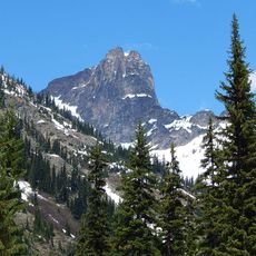
Cutthroat Peak
21.6 km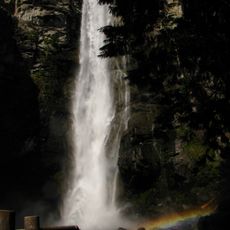
Rainbow Falls
36 km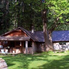
Buckner Homestead Historic District
36.8 km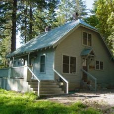
Purple Point-Stehekin Ranger Station House
38.1 km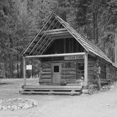
Stehekin School
36.1 km
Golden West Visitor Center
38 km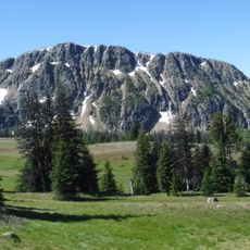
Ashnola Mountain
33.7 km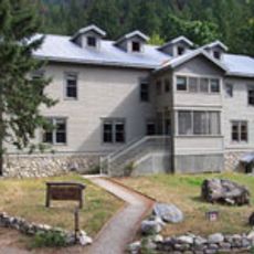
Golden West Lodge Historic District
37.9 km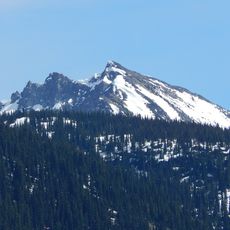
Hock Mountain
24.8 km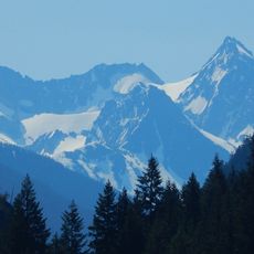
Banded Glacier
38.1 km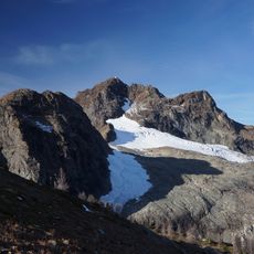
Jerry Glacier
37.1 km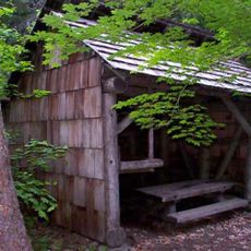
Bridge Creek Shelter
37.3 km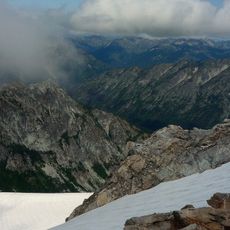
Sandalee Glacier
34.4 km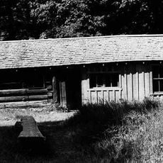
Buckner Cabin
36.8 km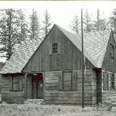
Early Winters Ranger Station Work Center
3.1 km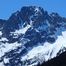
Repulse Peak
28.8 km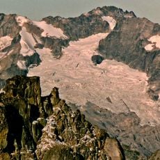
Douglas Glacier
37.2 km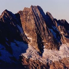
Goode Glacier
36.8 km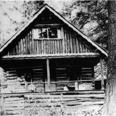
George Miller House
37.4 km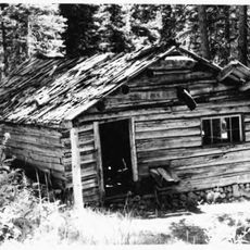
Sulphide–Frisco Cabin
25.1 km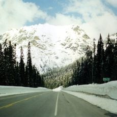
Rainy Pass
24.1 km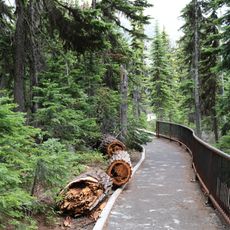
Washington Pass Overlook Trail
18.1 kmReviews
Visited this place? Tap the stars to rate it and share your experience / photos with the community! Try now! You can cancel it anytime.
Discover hidden gems everywhere you go!
From secret cafés to breathtaking viewpoints, skip the crowded tourist spots and find places that match your style. Our app makes it easy with voice search, smart filtering, route optimization, and insider tips from travelers worldwide. Download now for the complete mobile experience.

A unique approach to discovering new places❞
— Le Figaro
All the places worth exploring❞
— France Info
A tailor-made excursion in just a few clicks❞
— 20 Minutes