Pulpit Rocks, cliff in Huntingdon County, Pennsylvania, United States of America
Location: Huntingdon County
GPS coordinates: 40.51889,-78.04944
Latest update: October 27, 2025 06:57
Raystown Lake
10.2 km
Indian Caverns
14.5 km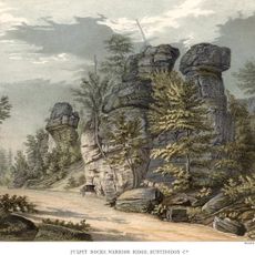
Pulpit Rocks
354 m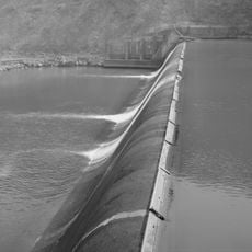
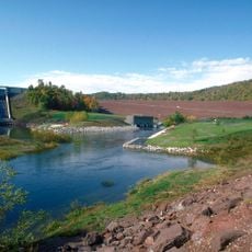
Warrior Ridge Dam and Hydroelectric Plant
2.6 km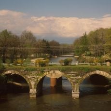
Pennsylvania Railroad Old Bridge over Standing Stone Creek
5.7 km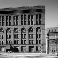
Huntingdon Borough Historic District
4.9 km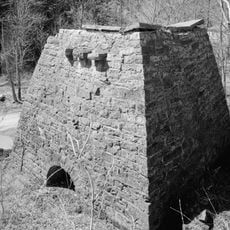
Etna Furnace
11.6 km
Williamsburg Historic District
14.6 km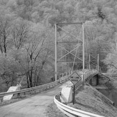
Corbin Bridge
9.1 km
Huntingdon Armory
6.1 km
Barree Forge and Furnace
4 km
Pennsylvania Railroad District
13.6 km
Juniata Iron Works
4 km
Robb Farm
6 km
Pennsylvania Railroad Bridge over Shavers Creek
5.4 km
Colerain Forges Mansion
14 km
Swigart Museum
12.1 km
Juniata College Museum of Art
3.5 km
The Paper Trail
4.6 km
Spruce Creek Rail Tunnel West Portal
11.3 km
Spruce Creek Rail Tunnel East Portal
11 km
Silent Descent
3.4 km
Work of art, sculpture
3.6 km
Scenic viewpoint
10.5 km
Indian Lookout
12.7 km
Ridenour Overlook
10.1 km
Hawn's Overlook
10.3 km
Scenic viewpoint
11 kmReviews
Visited this place? Tap the stars to rate it and share your experience / photos with the community! Try now! You can cancel it anytime.
Discover hidden gems everywhere you go!
From secret cafés to breathtaking viewpoints, skip the crowded tourist spots and find places that match your style. Our app makes it easy with voice search, smart filtering, route optimization, and insider tips from travelers worldwide. Download now for the complete mobile experience.

A unique approach to discovering new places❞
— Le Figaro
All the places worth exploring❞
— France Info
A tailor-made excursion in just a few clicks❞
— 20 Minutes