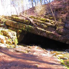
Indian Caverns, Show cave in Spruce Creek, Pennsylvania, US.
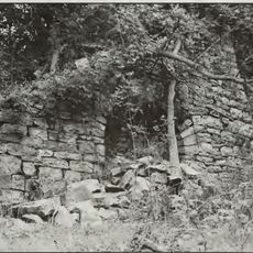
Indian Caverns is a limestone cave system in Spruce Creek, Pennsylvania, made up of two connected sections with noticeably different ceiling heights. The passages alternate between open halls and narrower chambers, with mineral formations lining the walls and ceilings throughout.
Native peoples used the cave for shelter and gathering for centuries before European settlement in the early 1700s ended that presence. In the 20th century the site opened as a commercial show cave before eventually being set aside for bat habitat protection.
The name of the cave recalls the Native American peoples who once sheltered and gathered here, and guided tours still draw on that connection to explain how the space was used. Walking through the passages, visitors can picture how the rock walls and low ceilings shaped daily life for those early occupants.
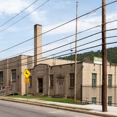
The cave interior is closed to visitors because the site now serves as a protected bat habitat, so plan your visit around the exterior and the surrounding area. The landscape around the entrance is easy to walk and gives a clear sense of the local geology.
Some of the mineral deposits inside the cave display a natural phosphorescence under certain lighting conditions, a property that is rare in limestone caves of this region. This unusual characteristic comes from the specific mineral composition of the rock layers found here.
The community of curious travelers
AroundUs brings together thousands of curated places, local tips, and hidden gems, enriched daily by 60,000 contributors worldwide.