Huntingdon County

Log in to your account

AroundUs is a community-driven map of interesting places, built by curious explorers like you. It grows with every review, story, and photo you share.
Connect to save your favorite spots, contribute locations, and create personalized routes.
Continue with Google
Continue with Apple
Continue with X
Continue with Facebook
Continue with email
By continuing, you accept our Terms and Conditions and our Privacy Policy
Create an account
Add to collection
Map
Suggest a change
Share

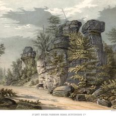
Huntingdon County, County in central Pennsylvania, United States.

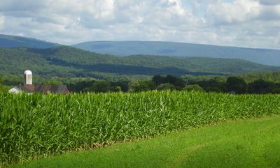
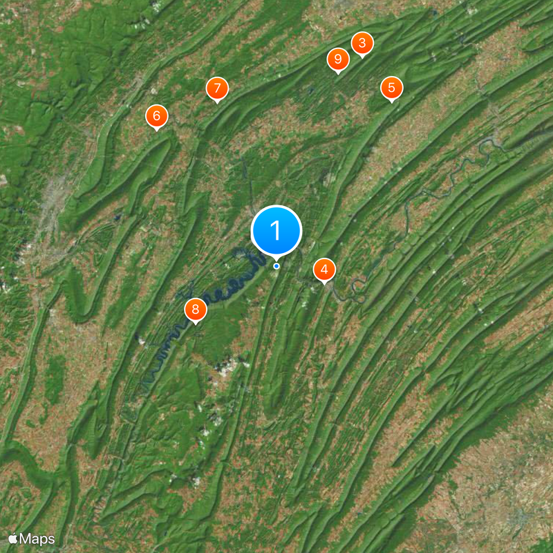
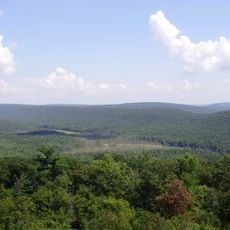
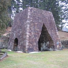
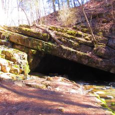
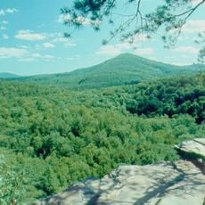
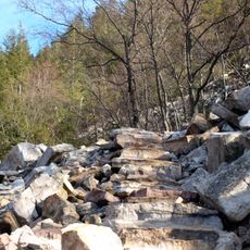
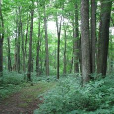
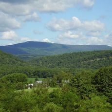
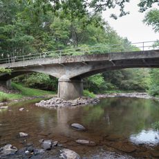
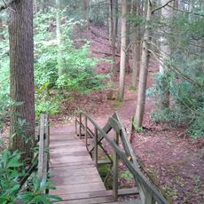
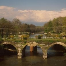
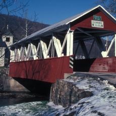
Huntingdon County is an administrative division in central Pennsylvania that spreads across rolling terrain and forested land. The territory is home to a large lake and sits within the broader Appalachian region.

The area was established as an independent administrative district in 1787 after separating from a larger county. This new division allowed better governance as the population in the region grew.

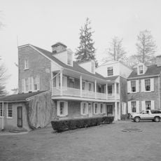
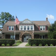
The college established in the county seat has shaped education and learning in the region for generations. The institution remains woven into the daily life of the community it calls home.

The county is served by several school districts that support students across different communities. Visitors should check locally for what attractions are accessible and how best to reach them.

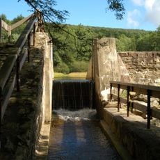
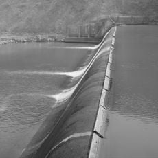
The large lake within the territory is entirely contained within its borders, making it a remarkable geographic feature. This body of water shapes the landscape and offers visitors opportunities to explore natural surroundings.

Location: Pennsylvania

Inception: September 20, 1787

Capital city: Huntingdon

Shares border with: Centre County, Mifflin County, Juniata County, Franklin County, Fulton County, Bedford County, Blair County

Website: http://huntingdoncounty.net

GPS coordinates: 40.41000,-77.98000

Latest update: December 20, 2025 03:01

Photos
Around this place
Raystown Lake
United States of America

Raystown Lake

3.5 km
Rothrock State Forest
United States of America

Rothrock State Forest

36.1 km
Harbison-Walker Refractories Company
United States of America

Harbison-Walker Refractories Company

8.1 km
Greenwood Furnace State Park
United States of America

Greenwood Furnace State Park

32.1 km
Tytoona Cave
United States of America

Tytoona Cave

28.9 km
United States of America

Indian Caverns

27.8 km
Trough Creek State Park
United States of America

Trough Creek State Park

15.7 km
Whipple Dam State Park
United States of America

Whipple Dam State Park

32.4 km
Rockhill Trolley Museum
United States of America

Rockhill Trolley Museum

20.1 km
Standing Stone Trail
United States of America

Standing Stone Trail

28.3 km
Warriors Path State Park
United States of America

Warriors Path State Park

33.5 km
Penn-Roosevelt State Park
United States of America

Penn-Roosevelt State Park

42.3 km
United States of America

Stone Valley Recreation Area

28.7 km
Bear Meadows Natural Area
United States of America

Bear Meadows Natural Area

40 km
Pennsylvania Furnace Mansion
United States of America

Pennsylvania Furnace Mansion

32.8 km
Butler Knob
United States of America

Butler Knob

13 km
Pulpit Rocks
United States of America

Pulpit Rocks

13.4 km
Baker Bridge
United States of America

Baker Bridge

18.3 km
Alan Seeger Natural Area
United States of America

Alan Seeger Natural Area

36.9 km
United States of America

State Game Lands Number 166

26.2 km
Warrior Ridge Dam and Hydroelectric Plant
United States of America

Warrior Ridge Dam and Hydroelectric Plant

15.1 km
Spruce Creek Rod and Gun Club
United States of America

Spruce Creek Rod and Gun Club

30 km
Pennsylvania Railroad Old Bridge over Standing Stone Creek
United States of America

Pennsylvania Railroad Old Bridge over Standing Stone Creek

8.2 km
United States of America

State Game Lands Number 118

15.8 km
Skinner Tavern
United States of America

Skinner Tavern

42.2 km
Woodvale Historic District
United States of America

Woodvale Historic District

30.2 km
Huntingdon Borough Historic District
United States of America

Huntingdon Borough Historic District

8.9 km
St. Mary's Covered Bridge
United States of America

St. Mary's Covered Bridge

24.3 km
Show the full map
Reviews

Visited this place? Tap the stars to rate it and share your experience / photos with the community! Try now! You can cancel it anytime.

Administrative divisions
« Huntingdon County - County in central Pennsylvania, United States » is provided by Around Us (aroundus.com). Images and texts are derived from Wikimedia project under a Creative Commons license. You are allowed to copy, distribute, and modify copies of this page, under the conditions set by the license, as long as this note is clearly visible.

Discover hidden gems everywhere you go!

From secret cafés to breathtaking viewpoints, skip the crowded tourist spots and find places that match your style. Our app makes it easy with voice search, smart filtering, route optimization, and insider tips from travelers worldwide. Download now for the complete mobile experience.

Around Us App Screenshot

A unique approach to discovering new places

Le Figaro

All the places worth exploring

France Info

A tailor-made excursion in just a few clicks

20 Minutes