Woodvale Historic District

Log in to your account

AroundUs is a community-driven map of interesting places, built by curious explorers like you. It grows with every review, story, and photo you share.
Connect to save your favorite spots, contribute locations, and create personalized routes.
Continue with Google
Continue with Apple
Continue with X
Continue with Facebook
Continue with email
By continuing, you accept our Terms and Conditions and our Privacy Policy
Create an account
Add to collection
Map
Suggest a change
Share

Woodvale Historic District, Historic district in Pennsylvania, United States.

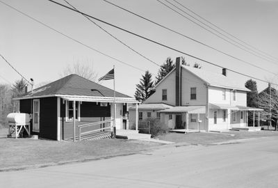
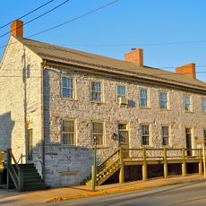
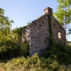
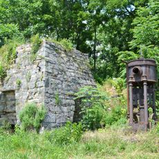
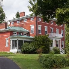
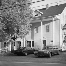
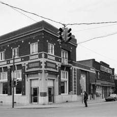
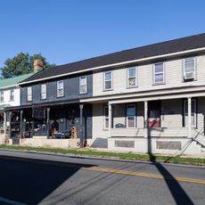
Woodvale Historic District is a coal mining area in Pennsylvania containing around eighty buildings, sites, and structures spread across multiple counties. The collection includes residences, churches, industrial facilities, and other infrastructure that shaped daily life for mining workers.

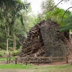
The Rockhill Iron and Coal Company began developing this settlement in the late 1800s for its mining workforce. Over several decades, residential neighborhoods, factory buildings, and community facilities were built before mining operations declined in the mid-1900s.

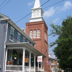
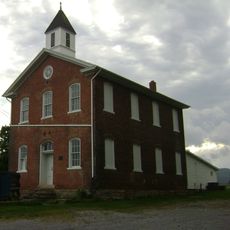
Churches in the district reflect the faith traditions of the mining community, including a Methodist chapel and a Greek Orthodox church. These buildings were places where residents gathered to maintain their spiritual practices and sense of belonging.

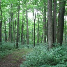
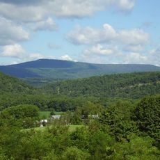
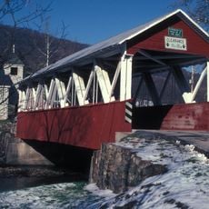
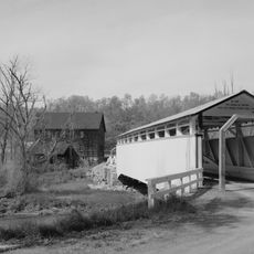
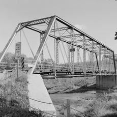
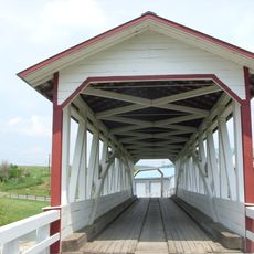
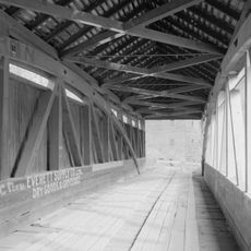
The area spans multiple counties and townships, so it helps to locate specific sites before visiting. Most buildings are visible from outside and can be explored on foot along the local roads, but checking ahead about accessible areas is worthwhile.

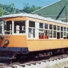
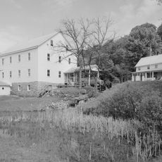
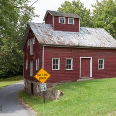
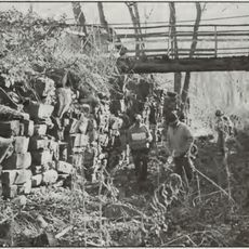
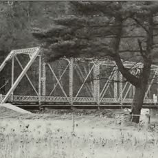
A preserved railroad repair shop from the early 1900s displays specialized machinery rooms where locomotives and coal mining equipment were serviced. An old mule stable nearby offers insight into the practical methods used to transport coal and materials at that time.

Location: Pennsylvania

GPS coordinates: 40.16694,-78.13806

Latest update: December 14, 2025 18:06

Photos
Around this place
Rays Hill Tunnel
United States of America

Rays Hill Tunnel

17.5 km
Cowans Gap State Park
United States of America

Cowans Gap State Park

25.8 km
Trough Creek State Park
United States of America

Trough Creek State Park

18 km
Rockhill Trolley Museum
United States of America

Rockhill Trolley Museum

22 km
Warriors Path State Park
United States of America

Warriors Path State Park

10.6 km
Butler Knob
United States of America

Butler Knob

20.3 km
Baker Bridge
United States of America

Baker Bridge

13.3 km
Fulton House
United States of America

Fulton House

28.7 km
St. Mary's Covered Bridge
United States of America

St. Mary's Covered Bridge

22.5 km
Jacksons Mill Covered Bridge
United States of America

Jacksons Mill Covered Bridge

24.6 km
Brumbaugh Homestead
United States of America

Brumbaugh Homestead

25.2 km
Carrick Furnace
United States of America

Carrick Furnace

27.7 km
Runk Bridge
United States of America

Runk Bridge

24.6 km
Halls Mill Covered Bridge
United States of America

Halls Mill Covered Bridge

16 km
Feltons Mill Covered Bridge
United States of America

Feltons Mill Covered Bridge

25.1 km
Benjamin B. Leas House
United States of America

Benjamin B. Leas House

27 km
Burnt Cabins Gristmill Property
United States of America

Burnt Cabins Gristmill Property

23.6 km
Everett Historic District
United States of America

Everett Historic District

26.3 km
Paradise Furnace
United States of America

Paradise Furnace

16 km
Robertsdale Historic District
United States of America

Robertsdale Historic District

2.9 km
Mount Union Historic District
United States of America

Mount Union Historic District

24.2 km
Hudson Grist Mill
United States of America

Hudson Grist Mill

12.3 km
Cold Spring Farm
United States of America

Cold Spring Farm

28.6 km
Marklesburg Historic District
United States of America

Marklesburg Historic District

24.2 km
Pennsylvania Canal Guard Lock and Feeder Dam, Raystown Branch
United States of America

Pennsylvania Canal Guard Lock and Feeder Dam, Raystown Branch

6.8 km
McConnellsburg Historic District
United States of America

McConnellsburg Historic District

0 m
Frehn Bridge
United States of America

Frehn Bridge

13 km
New Enterprise Public School
United States of America

New Enterprise Public School

22.9 km
Show the full map
Reviews

Visited this place? Tap the stars to rate it and share your experience / photos with the community! Try now! You can cancel it anytime.

« Woodvale Historic District - Historic district in Pennsylvania, United States » is provided by Around Us (aroundus.com). Images and texts are derived from Wikimedia project under a Creative Commons license. You are allowed to copy, distribute, and modify copies of this page, under the conditions set by the license, as long as this note is clearly visible.

Discover hidden gems everywhere you go!

From secret cafés to breathtaking viewpoints, skip the crowded tourist spots and find places that match your style. Our app makes it easy with voice search, smart filtering, route optimization, and insider tips from travelers worldwide. Download now for the complete mobile experience.

Around Us App Screenshot

A unique approach to discovering new places

Le Figaro

All the places worth exploring

France Info

A tailor-made excursion in just a few clicks

20 Minutes