Enable Location

We need your location to show you interesting places around you

Discover nearby places

Find interesting locations and hidden gems around you

Precise directions

Get accurate directions and distances to places

Your location is never shared with other users. It's only used when you tap the location button.

Raystown Lake

Log in to your account

Start exploring — it's free

Trusted by 62,457 travelers worldwide

Continue with Google
Continue with Apple
or

We will send you a code to connect

By continuing, you accept our Terms and Conditions and our Privacy Policy

Check your inbox

We've sent a pincode in your inbox. Please enter the code below.

Raystown Lake

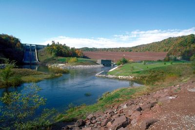
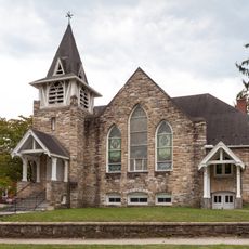
Raystown Lake, Reservoir and recreation area in Pennsylvania, United States.

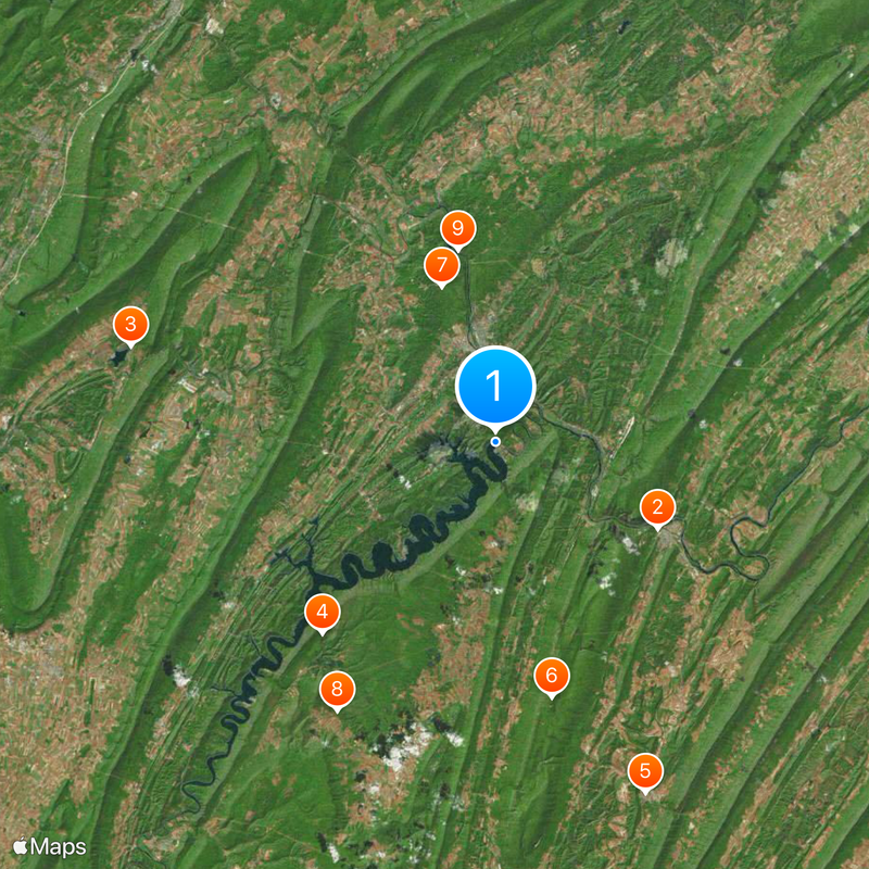
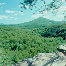
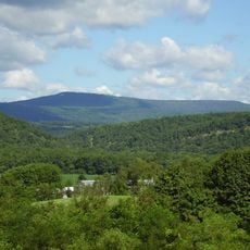
Raystown Lake is a reservoir in Pennsylvania that extends across 8300 acres (3360 ha) and offers 27 miles (43 km) of water surface. A total of 14 public beach areas and numerous coves divide the shoreline into different sections for water sports and recreation.

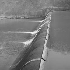
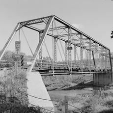
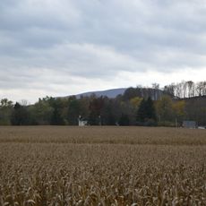
The facility was created starting in 1968 through the construction of a dam on the Raystown Branch of the Juniata River, and flooding began in 1973. The project aimed to reduce valley flooding while providing drinking water and recreation areas for the region.

The name Raystown comes from an early settler who established himself in this valley during the 18th century. Today anglers and sailors use the water mainly between spring and autumn, when small motor boats and kayaks spread across the cove surfaces.

On warm summer days the public swimming spots can become very crowded, while early morning hours offer much more quiet. Visitors who wish to experience the water beyond the shore will find several docking areas for small boats and paddles along the different shore zones.

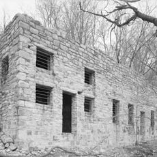
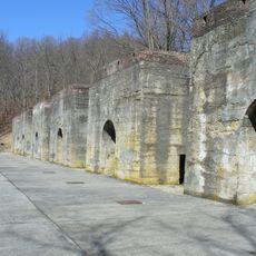
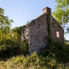
Beneath the water surface lie several sunken building foundations and old road sections from the time before the flooding. These artificial structures now attract large fish and are specifically targeted by experienced anglers.

The community of curious travelers

AroundUs brings together thousands of curated places, local tips, and hidden gems, enriched daily by 60,000 contributors worldwide.

Start exploring
Location
GPS coordinates
40.43361,-78.00667
Latest update
December 14, 2025 17:56
Around this place
Harbison-Walker Refractories Company
United States of America

Harbison-Walker Refractories Company

11.2 km
Canoe Creek State Park
United States of America

Canoe Creek State Park

23 km
Trough Creek State Park
United States of America

Trough Creek State Park

15.8 km
Rockhill Trolley Museum
United States of America

Rockhill Trolley Museum

23.3 km
Butler Knob
United States of America

Butler Knob

16 km
Pulpit Rocks
United States of America

Pulpit Rocks

10.1 km
Baker Bridge
United States of America

Baker Bridge

19.1 km
Warrior Ridge Dam and Hydroelectric Plant
United States of America

Warrior Ridge Dam and Hydroelectric Plant

12 km
Pennsylvania Railroad Old Bridge over Standing Stone Creek
United States of America

Pennsylvania Railroad Old Bridge over Standing Stone Creek

5.3 km
Huntingdon Borough Historic District
United States of America

Huntingdon Borough Historic District

5.9 km
Etna Furnace
United States of America

Etna Furnace

18.4 km
Williamsburg Historic District
United States of America

Williamsburg Historic District

17 km
Brumbaugh Homestead
United States of America

Brumbaugh Homestead

12.3 km
Runk Bridge
United States of America

Runk Bridge

20.1 km
Benjamin B. Leas House
United States of America

Benjamin B. Leas House

18.9 km
Corbin Bridge
United States of America

Corbin Bridge

3.1 km
Paradise Furnace
United States of America

Paradise Furnace

17 km
Huntingdon Armory
United States of America

Huntingdon Armory

5.8 km
Barree Forge and Furnace
United States of America

Barree Forge and Furnace

13.8 km
Mount Union Historic District
United States of America

Mount Union Historic District

15.2 km
Lewis Smalley Homestead
United States of America

Lewis Smalley Homestead

16.9 km
Marklesburg Historic District
United States of America

Marklesburg Historic District

15.2 km
Pennsylvania Railroad District
United States of America

Pennsylvania Railroad District

23.5 km
Juniata Iron Works
United States of America

Juniata Iron Works

13.8 km
Daniel Royer House
United States of America

Daniel Royer House

22.4 km
Robb Farm
United States of America

Robb Farm

8.5 km
Pennsylvania Railroad Bridge over Shavers Creek
United States of America

Pennsylvania Railroad Bridge over Shavers Creek

15.3 km
Colerain Forges Mansion
United States of America

Colerain Forges Mansion

24.2 km
Show the full map
« Raystown Lake - Reservoir and recreation area in Pennsylvania, United States » is provided by Around Us (aroundus.com). Images and texts are derived from Wikimedia project under a Creative Commons license. You are allowed to copy, distribute, and modify copies of this page, under the conditions set by the license, as long as this note is clearly visible.

Discover hidden gems everywhere you go!

From secret cafés to breathtaking viewpoints, skip the crowded tourist spots and find places that match your style. Our app makes it easy with voice search, smart filtering, route optimization, and insider tips from travelers worldwide. Download now for the complete mobile experience.

Around Us App Screenshot

A unique approach to discovering new places

Le Figaro

All the places worth exploring

France Info

A tailor-made excursion in just a few clicks

20 Minutes

Around Us
Travel Guide & Maps
Download

Send to your phone

QR Code
1

Open the camera app on your mobile.

2

Point at the QR code with your camera. A notification will appear.

3

Tap the notification to open the link.