
White Pond, Stausee in den Vereinigten Staaten
Location: Worcester County
GPS coordinates: 42.55056,-72.25833
Latest update: September 23, 2025 09:32

Harvard Forest
6 km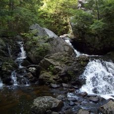
Bear's Den
5.6 km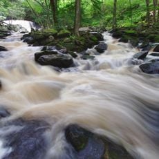
Doane's Falls
11.9 km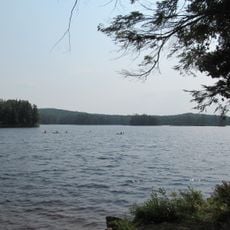
Tully Lake
11 km
Tully Mountain
10.9 km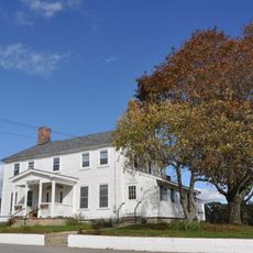
Templeton Developmental Center
12.7 km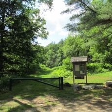
Swift River Reservation
13.2 km
Federated Women's Club State Forest
6.7 km
Brooks Woodland Preserve
9.2 km
North Common Meadow
9.2 km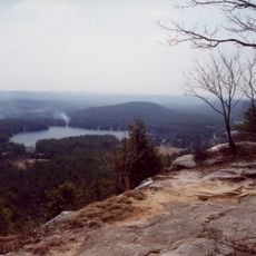
Tully Trail
11.9 km
Elliott Laurel
9.2 km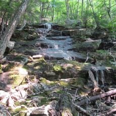
Spirit Falls
13.9 km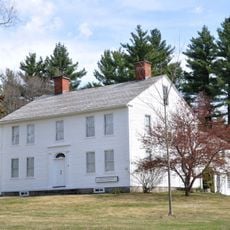
Whitaker-Clary House
4.9 km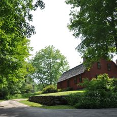
Gay Farm
11.4 km
Petersham Common Historic District
9 km
Orange Center Historic District
6.1 km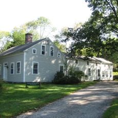
Mount Grace Land Conservation Trust
8.6 km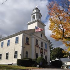
Old Town Hall
5.7 km
Old Athol High School
5.8 km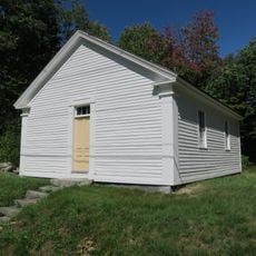
District No. 5 School
12.6 km
New Salem Common Historic District
8.3 km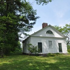
Prescott Town House
8.4 km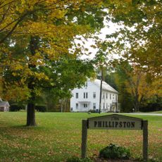
Phillipston Center Historic District
10 km
Grand Army of the Republic Hall
6.3 km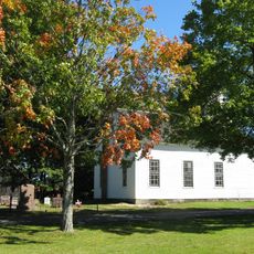
Wendell Town Common Historic District
11.4 km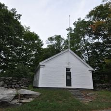
District No. 4 School
11.1 km
Holland-Towne House
8.2 kmReviews
Visited this place? Tap the stars to rate it and share your experience / photos with the community! Try now! You can cancel it anytime.
Discover hidden gems everywhere you go!
From secret cafés to breathtaking viewpoints, skip the crowded tourist spots and find places that match your style. Our app makes it easy with voice search, smart filtering, route optimization, and insider tips from travelers worldwide. Download now for the complete mobile experience.

A unique approach to discovering new places❞
— Le Figaro
All the places worth exploring❞
— France Info
A tailor-made excursion in just a few clicks❞
— 20 Minutes