Tully Mountain, Summit in Franklin County, Massachusetts, United States.
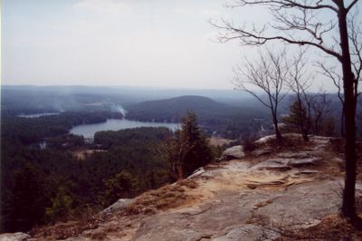
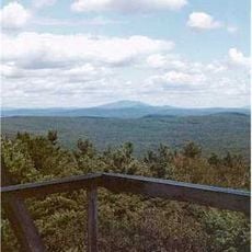
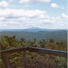
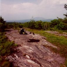
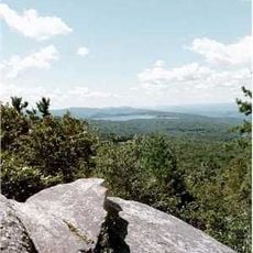
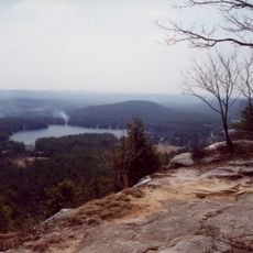
Tully Mountain is a summit in Franklin County with an elevation of about 351 meters (1,150 feet). The exposed ledges across its slope offer views across the Millers River valley toward distant ridge lines and neighboring peaks.
The mountain's rock formations date back roughly 200 million years, shaped by ancient geological forces that transformed the region. These metamorphic layers tell the story of Massachusetts' deep time and the tectonic activity that built this landscape.
The Tully Trail, stretching 22 miles around the mountain, connects local communities through organized hiking events and environmental conservation activities.
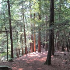
The mountain is accessible by multiple trailheads, with the Cemetery Route and Tully Brook Route offering different hiking paths through marked terrain. Visitors should expect varied conditions depending on the season and chosen route, with some sections being steeper than others.
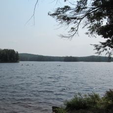
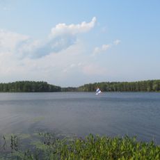
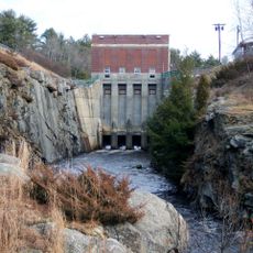
The mountain has a smaller peak called Little Tully Mountain nearby, also rising hundreds of feet above the surrounding terrain. From both summits, hikers can spot Tully Lake and Packard Pond sitting in the valleys below.
The community of curious travelers
AroundUs brings together thousands of curated places, local tips, and hidden gems, enriched daily by 60,000 contributors worldwide.