Franklin County

Log in to your account

AroundUs is a community-driven map of interesting places, built by curious explorers like you. It grows with every review, story, and photo you share.
Connect to save your favorite spots, contribute locations, and create personalized routes.
By continuing, you accept our Terms and Conditions and our Privacy Policy
Add to collection
Map
Suggest a change
Share

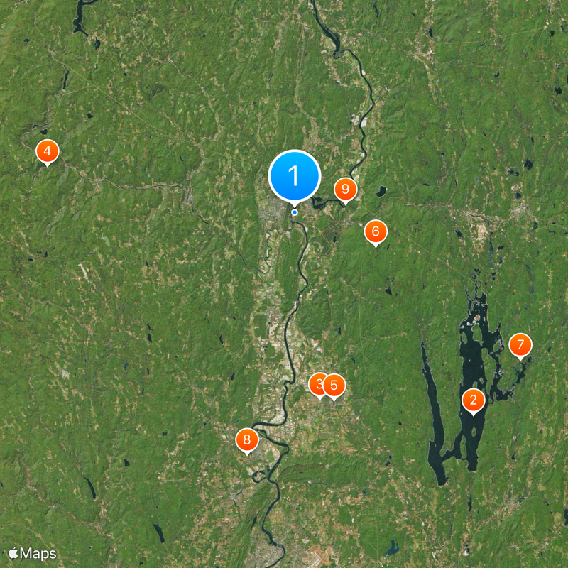
Franklin County, Administrative county in Massachusetts, US

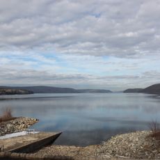
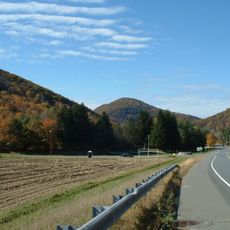
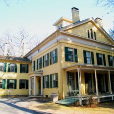
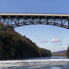
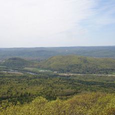
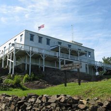
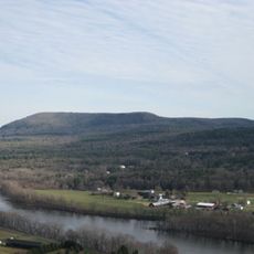
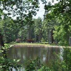
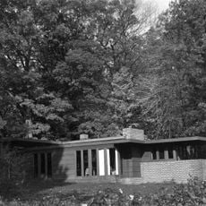
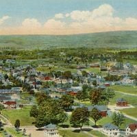
Franklin County is an area in northwestern Massachusetts that includes small towns, forests, and river lowlands along the Connecticut. The terrain rises from valleys to wooded ridges that run through the entire region.

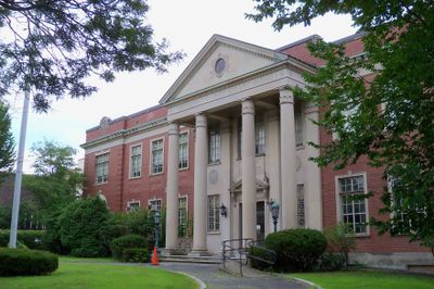
The legislature created the administrative area in 1811 and named it after Benjamin Franklin, with Greenfield becoming the administrative seat. Formal county government ended in 1997, while the geographic designation remained.

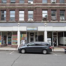
The area keeps its farming character, with many orchards and farmers' markets offering fresh produce from surrounding fields. Local communities maintain traditions of self-government and mutual support across town lines.

Regional bus routes run between larger towns and connect settlements across the area. Town administrations organize public services at the local level, as no central government exists anymore.

The administrative structures dissolved, but towns still work together as a regional unit. Public tasks are handled through agreements between municipalities, without the need for an overarching authority.

Location: Massachusetts

Inception: 1811

Capital city: Greenfield

Shares border with: Windham County, Bennington County, Worcester County, Hampshire County, Berkshire County, Cheshire County

Website: https://frcog.org

GPS coordinates: 42.58707,-72.57394

Latest update: December 15, 2025 03:25

Photos
Around this place
Quabbin Reservoir
United States of America

Quabbin Reservoir

33.9 km
Warren McGuirk Alumni Stadium
United States of America

Warren McGuirk Alumni Stadium

23.6 km
Mohawk Trail
United States of America

Mohawk Trail

31.7 km
Emily Dickinson Museum
United States of America

Emily Dickinson Museum

24 km
Metacomet-Monadnock Trail
United States of America

Metacomet-Monadnock Trail

11 km
Dana
United States of America

Dana

33.9 km
Northampton State Hospital
United States of America

Northampton State Hospital

30.9 km
French King Bridge
United States of America

French King Bridge

6.4 km
Buttonball Tree
United States of America

Buttonball Tree

13.2 km
Bridge of Flowers
United States of America

Bridge of Flowers

13.8 km
Calvin Coolidge Presidential Library and Museum
United States of America

Calvin Coolidge Presidential Library and Museum

30.5 km
Eric Carle Museum of Picture Book Art
United States of America

Eric Carle Museum of Picture Book Art

29.8 km
Post-Attack Command and Control System Facility, Hadley
United States of America

Post-Attack Command and Control System Facility, Hadley

31.7 km
Bare Mountain
United States of America

Bare Mountain

31.8 km
Sugarloaf Mountain
United States of America

Sugarloaf Mountain

13.1 km
J. A. Skinner State Park
United States of America

J. A. Skinner State Park

31.5 km
Mount Toby
United States of America

Mount Toby

11.4 km
Bear's Den
United States of America

Bear's Den

20.9 km
Historic Deerfield
United States of America

Historic Deerfield

5.1 km
Calvin Coolidge House
United States of America

Calvin Coolidge House

29.8 km
United States of America

Mohawk Trail State Forest

24.6 km
Bookmill
United States of America

Bookmill

6.3 km
William Cullen Bryant Homestead
United States of America

William Cullen Bryant Homestead

32.7 km
Royalston Falls
United States of America

Royalston Falls

30.4 km
Curry Hicks Cage
United States of America

Curry Hicks Cage

22.6 km
Look Park
United States of America

Look Park

28.6 km
Theodore Baird Residence
United States of America

Theodore Baird Residence

26.7 km
Iron Horse Music Hall
United States of America

Iron Horse Music Hall

30.2 km
Show the full map
Reviews

Visited this place? Tap the stars to rate it and share your experience / photos with the community! Try now! You can cancel it anytime.

Administrative divisions
« Franklin County - Administrative county in Massachusetts, US » is provided by Around Us (aroundus.com). Images and texts are derived from Wikimedia project under a Creative Commons license. You are allowed to copy, distribute, and modify copies of this page, under the conditions set by the license, as long as this note is clearly visible.

Discover hidden gems everywhere you go!

From secret cafés to breathtaking viewpoints, skip the crowded tourist spots and find places that match your style. Our app makes it easy with voice search, smart filtering, route optimization, and insider tips from travelers worldwide. Download now for the complete mobile experience.

Around Us App Screenshot

A unique approach to discovering new places

Le Figaro

All the places worth exploring

France Info

A tailor-made excursion in just a few clicks

20 Minutes