Mohawk Trail State Forest, State park in Franklin County, Massachusetts.
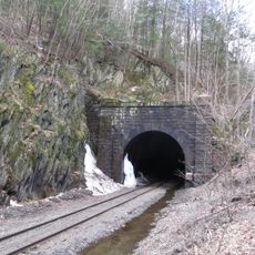
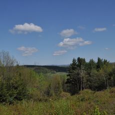
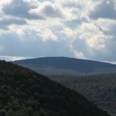
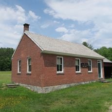
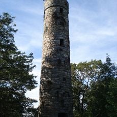
Mohawk Trail State Forest is a state-managed woodland in Franklin County, western Massachusetts, covering mountain ridges, gorges, and river corridors under a dense forest canopy. Hiking trails cross the area at varying elevations, and designated campsites allow overnight stays within the forest.
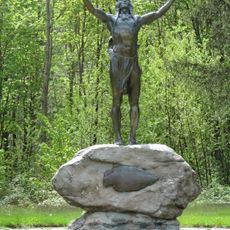
The land was designated a state forest in 1921, following the path of an old Native American trail that once connected the Connecticut and Hudson River valleys. That trail gave the forest its name and its route is still traceable through the landscape today.
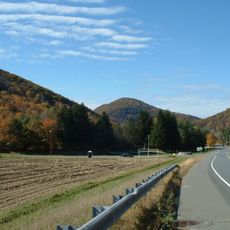
Each autumn, the forest draws visitors from across the region who come specifically to see the foliage turn shades of red, orange, and yellow on the hillsides. Walking the trails during that season gives a clear sense of why this part of western Massachusetts has long been tied to the outdoor life of its communities.
The forest is open throughout the year, though trails are easier to walk in the warmer months when the ground is dry and stable. A personal vehicle is the most practical way to reach the area, as public transport connections are limited.
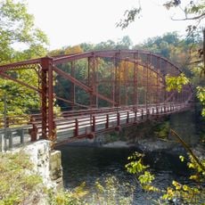
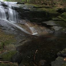
The Cold River, which runs through the forest, is one of the few rivers in Massachusetts where trout fishing is permitted year-round, not just during a defined season. This draws anglers to the forest even in winter, when most other visitors stay away.
The community of curious travelers
AroundUs brings together thousands of curated places, local tips, and hidden gems, enriched daily by 60,000 contributors worldwide.