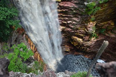
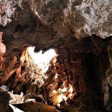
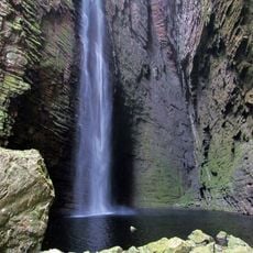
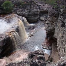
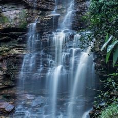
Cachoeira do Buracão, Vertical waterfall in Chapada Diamantina, Brazil.
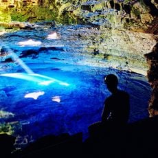
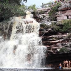
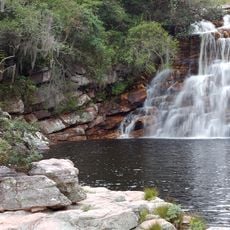
Cachoeira do Buracão is a waterfall in Chapada Diamantina that drops 85 meters straight down between circular rock walls. The falling water collects in a large pool surrounded completely by steep stone cliffs.
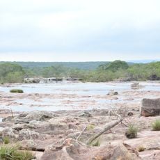
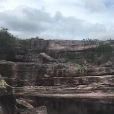
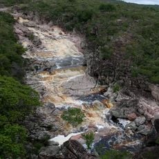
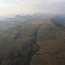
This waterfall remained unknown to the outside world until 2001, when locals first documented the site. Its hidden location within a river valley kept it isolated from earlier discovery.
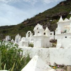
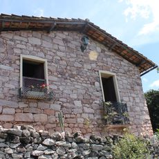
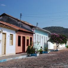
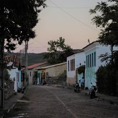
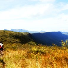
The surrounding area reflects the traditions of local communities who maintain connections to the diamond mining heritage of Chapada Diamantina.
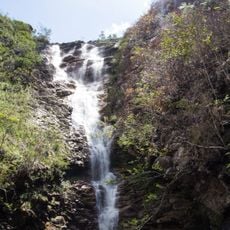
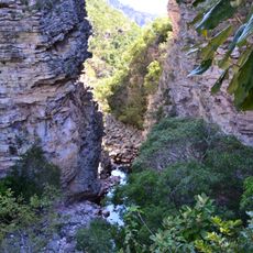
A local guide is required to visit, and the one-hour walk follows the Espalhado River bed through water and rocks. Bring appropriate footwear and water gear, as wading through the river is necessary.
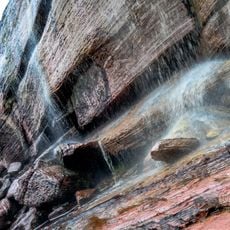
The name comes from the Portuguese word Buracão, meaning large hole, because the waterfall has carved a deep cylindrical opening into the rock face. This unusual shape developed over millennia as water eroded the stone at this exact spot.
The community of curious travelers
AroundUs brings together thousands of curated places, local tips, and hidden gems, enriched daily by 60,000 contributors worldwide.