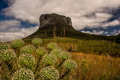
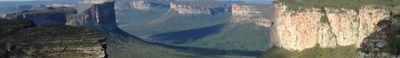
Chapada Diamantina National Park, National park in Bahia, Brazil
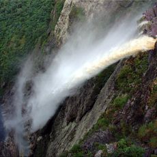
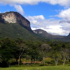
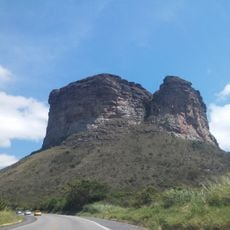
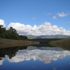
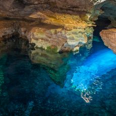
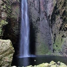
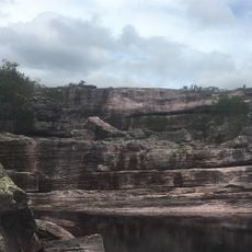
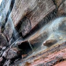
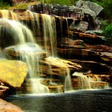
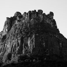
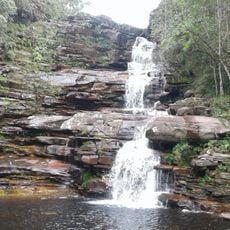
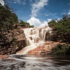
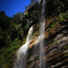
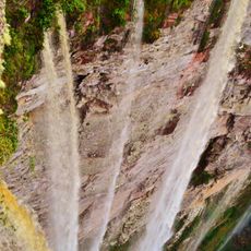
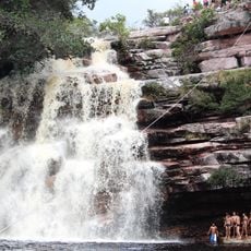
Chapada Diamantina National Park spreads across five municipalities in Bahia, entered from the towns of Lençóis, Palmeiras, Andaraí, Mucugê, or Ibicoara. The terrain shifts from mountain ridges reaching above 1,300 meters to deep valleys carved by rivers, sandstone and limestone caves, and waterfalls that tumble down sheer cliffs.
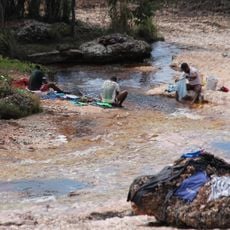
Diamond discoveries in the 1800s drew thousands of miners who built settlements and carved trails through the mountains to move gemstones out of the region. After mining declined in the 1980s, the area was declared a protected reserve, converting the old miner paths into routes for walkers and safeguarding the forests and rivers.
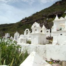
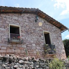
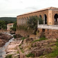
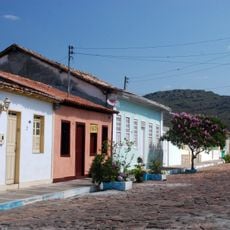
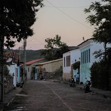
The diamond rush of the 1800s left traces in the small towns around the park, where stone buildings from mining days still stand alongside workshops selling crafts made with local materials and sweets from regional fruits. Travelers often hear stories about miners who worked the hills and rivers, and the communities that grew around those camps now welcome walkers heading into the mountains.
Access points sit in five municipalities, with Lençóis being the best equipped for accommodations, restaurants, and agencies that arrange guides for multi-day treks. Many routes require good fitness because paths can be steep and rocky, and hiring a guide is recommended since signage is sparse.
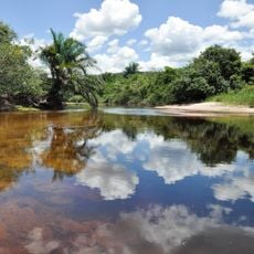
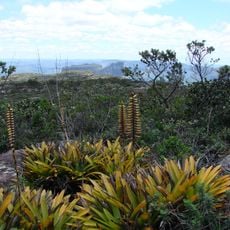
Three different ecosystems meet here – Atlantic Forest, Cerrado, and Caatinga – so walkers move between humid woodland, open savanna, and dry scrubland within short distances. This mix shelters animals and plants normally found in separate regions of Brazil, including species that live nowhere else.
The community of curious travelers
AroundUs brings together thousands of curated places, local tips, and hidden gems, enriched daily by 60,000 contributors worldwide.