Cachoeira das Andorinhas

Log in to your account

AroundUs is a community-driven map of interesting places, built by curious explorers like you. It grows with every review, story, and photo you share.
Connect to save your favorite spots, contribute locations, and create personalized routes.
By continuing, you accept our Terms and Conditions and our Privacy Policy

Cachoeira das Andorinhas

Add to collection
Map
Suggest a change
Share

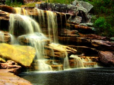
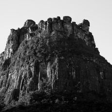
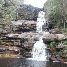
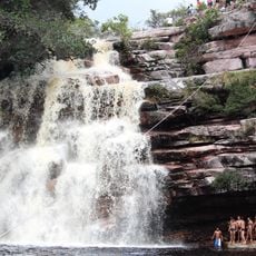
Cachoeira das Andorinhas, Waterfall in Mucugê, Brazil

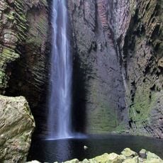
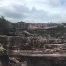
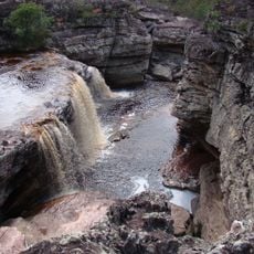
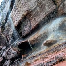
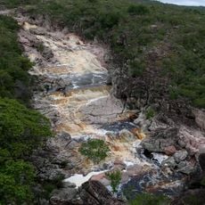
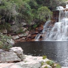
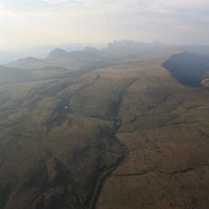
Cachoeira das Andorinhas is a waterfall in Mucugê that drops roughly 50 meters over granite rocks, creating pools of cold water below. Located at about 940 meters elevation in the Serra da Mantiqueira, it flows into the Rio Cumbuca system.

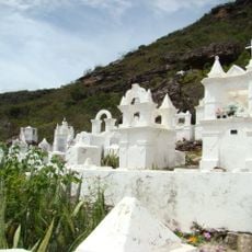
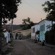
The region around Mucugê grew substantially after diamonds were discovered in 1844, drawing thousands of miners to the area. This discovery shaped the development of the town and surrounding lands for generations.

The waterfall is woven into the daily life of the region, where residents have long used the natural setting for their routines. Visitors can observe how the landscape and water play a role in the community's everyday practices.

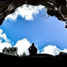
The walk to the waterfall takes about 20 minutes from the starting point and is accessible on most days. Wear sturdy shoes and bring water and sun protection, as the path has limited shade.

The name comes from swallows that regularly circle the waterfall, creating natural flight patterns against the falling water. These birds are especially visible during early morning and late afternoon hours.

Location: Mucugê

Elevation above the sea: 940 m

Part of: Rio Cumbuca

GPS coordinates: -13.01709,-41.34638

Latest update: December 6, 2025 17:49

Brazil northeast natural and cultural sites

Brazil's Northeast region extends from the coast to the interior, connecting national parks, colonial towns and natural areas. The landscape shifts between coastal stretches, tablelands, river deltas and protected ecosystems. Geological formations, waterfalls and historic settlements mark the territory, which covers several Brazilian states. Places in this collection include the white dunes and lagoons of Lençóis Maranhenses National Park in Maranhão, the Delta do Parnaíba along the Piauí coast, and the cliffs of Morro Branco in Ceará. Jericoacoara National Park protects coastal habitats and formations such as Pedra Furada. Inland, Chapada Diamantina National Park and Chapada das Mesas National Park in Bahia and Maranhão feature tablelands, caves and waterfalls including Cachoeira do Buracão. Serra da Capivara National Park in Piauí preserves prehistoric rock paintings, while Vale do Catimbau National Park in Pernambuco is marked by rock formations. The coastal zone offers the Fernando de Noronha Archipelago off Pernambuco, marine parks at Areia Vermelha and Praia de Calhetas, and the canyons of the São Francisco River between Alagoas and Sergipe. Colonial centers such as Olinda and the historic center of João Pessoa preserve architecture from earlier centuries.

Reviews

Visited this place? Tap the stars to rate it and share your experience / photos with the community! Try now! You can cancel it anytime.

« Cachoeira das Andorinhas - Waterfall in Mucugê, Brazil » is provided by Around Us (aroundus.com). Images and texts are derived from Wikimedia project under a Creative Commons license. You are allowed to copy, distribute, and modify copies of this page, under the conditions set by the license, as long as this note is clearly visible.

Discover hidden gems everywhere you go!

From secret cafés to breathtaking viewpoints, skip the crowded tourist spots and find places that match your style. Our app makes it easy with voice search, smart filtering, route optimization, and insider tips from travelers worldwide. Download now for the complete mobile experience.

Around Us App Screenshot

A unique approach to discovering new places

Le Figaro

All the places worth exploring

France Info

A tailor-made excursion in just a few clicks

20 Minutes