Mucugê, Colonial municipality in Chapada Diamantina region, Bahia, Brazil
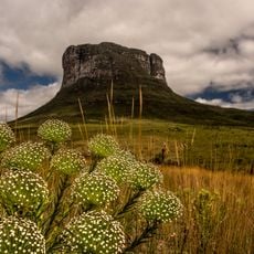
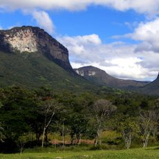
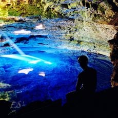
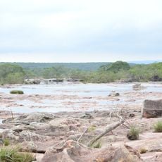
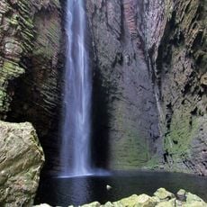
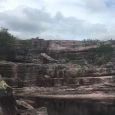
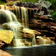
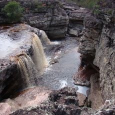
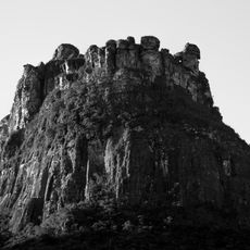
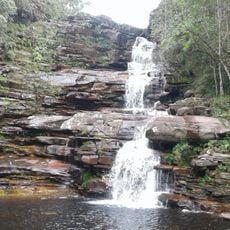
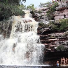
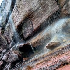
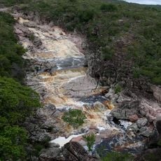
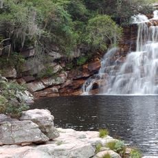
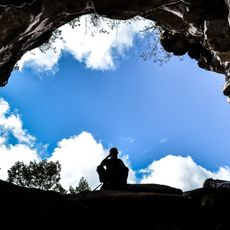
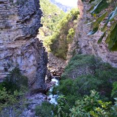
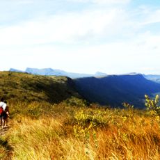
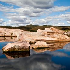
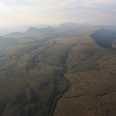
Mucugê is a municipality in the mountainous Chapada Diamantina region of Bahia with rugged terrain, waterfalls, and underground caves. The area sits at roughly 980 meters elevation and is crossed by rivers that flow through deep valleys.
Diamonds were discovered in a stream in 1844, triggering a large wave of immigration from Europe and the Middle East. This migration wave reshaped the settlement and development of the entire region.
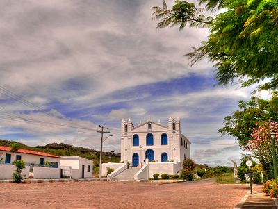
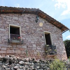
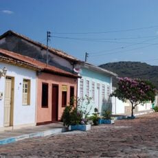
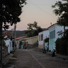
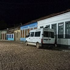
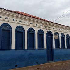
The town displays colonial-era houses and mansions with Portuguese architectural styles that reflect the prosperity of past times. These structures shape the streetscape today and show how people once lived and worked here.
Visitors find a range of lodging options in town, from hotels to guesthouses suited to different budgets. The town serves as a convenient base for exploring the nearby national park and its natural attractions.
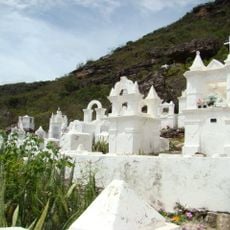
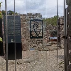
The Santa Isabel Cemetery displays unusual architecture with mausoleums designed like miniature church facades, built between the 1850s and 1880s. This distinctive design emerged because of strict burial restrictions imposed during an epidemic.
Location: Bahia
Elevation above the sea: 983 m
Shares border with: Abaíra, Andaraí, Boninal, Ibicoara, Jussiape, Lençóis, Palmeiras, Piatã, Seabra
GPS coordinates: -13.00500,-41.37083
Latest update: December 7, 2025 19:22
Chapada Diamantina National Park
13.9 km
Vale do Capão
30.4 km
Cemitério Santa Isabel
723 m
Poço Encantado
29.6 km
Parque Natural Municipal do Espalhado
41.5 km
Cachoeira da Fumacinha
30.4 km
Cachoeira do Tiburtino
2.5 km
Museu Vivo do Garimpo
2 km
Conjunto Arquitetônico e Paisagístico da Cidade de Mucujê
258 m
Parque Municipal de Mucugê
3.1 km
Rio Cumbuca
2.7 km
Cachoeira das Andorinhas
3 km
Cachoeira das Orquídeas
43.1 km
Morro do Castelo
26.8 km
Cachoeira do Calixto
28.3 km
Cachoeira Véu de Noiva
33.7 km
Conjunto Arquitetônico, Urbanístico e Paisagístico de Igatu
13.3 km
Cachoeira da Piabinha
3.5 km
Cachoeira da Roncadeira
20.1 km
Cachoeira da Moça Loira
3.3 km
Gruta do Castelo
26.8 km
Cachoeira Encantada
27.7 km
Área Contígua de Proteção do Centro Histórico de Igatu
13.3 km
Gerais do Vieira
26.3 km
Poço da Donana
18.9 km
Gerais do Machobongo
22.7 km
Biblioteca Pública Municipal Herberto Sales
22.2 km
Galeria Arte & Memória
13.9 kmVisited this place? Tap the stars to rate it and share your experience / photos with the community! Try now! You can cancel it anytime.
Discover hidden gems everywhere you go!
From secret cafés to breathtaking viewpoints, skip the crowded tourist spots and find places that match your style. Our app makes it easy with voice search, smart filtering, route optimization, and insider tips from travelers worldwide. Download now for the complete mobile experience.
A unique approach to discovering new places❞
— Le Figaro
All the places worth exploring❞
— France Info
A tailor-made excursion in just a few clicks❞
— 20 Minutes