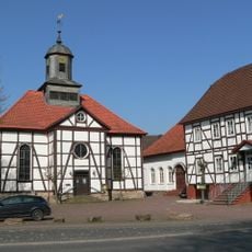
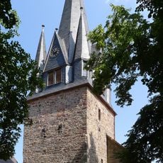
Uslar, Medieval trade center in Northeim, Germany.
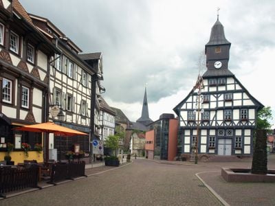
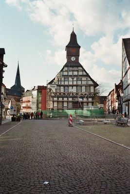
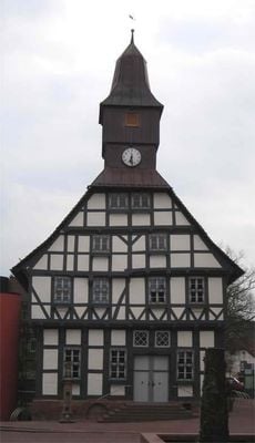
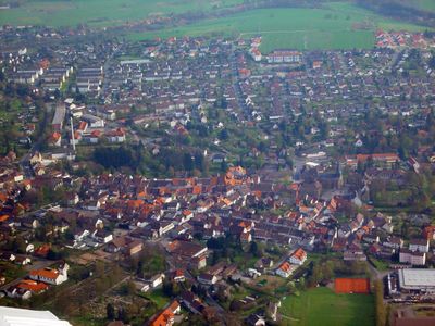
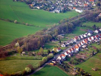
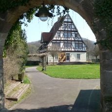
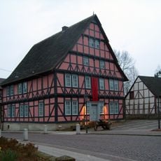
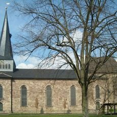
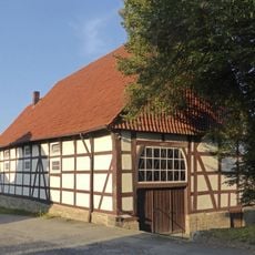
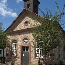
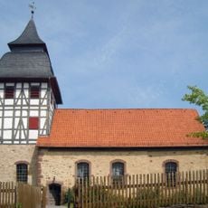
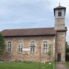
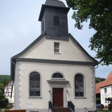
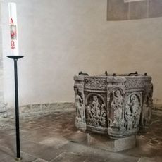
Uslar is a town in Northeim district in Lower Saxony, located on the slopes of Solling forest and encompassing several smaller villages in the surrounding area. Its center still shows the typical layout of a medieval trading settlement, with old streets and buildings that reveal the town's long-established character.
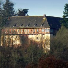
The town was first mentioned in written records in 1006 and flourished under the Welfen dynasty, which brought stability and economic growth to the region. Joining the Hanseatic League in medieval times was a turning point that made it an important trading center in northern Germany.
The town takes its name from the von Uslar family, who ruled the area for centuries and shaped its character. You can see their influence throughout the streets and buildings, reflecting how deeply one family affected daily life here.
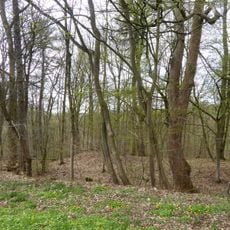
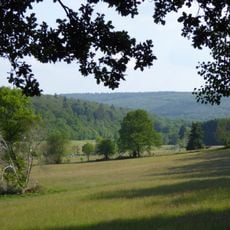
The town is accessible by public transport with regular bus connections to nearby cities and is situated on important road routes. The terrain is hilly, so comfortable walking shoes are useful if you plan to explore the area on foot.
During the 1950s, the area transformed into a furniture manufacturing hub, with a major local factory employing hundreds of workers and completely reshaping the town's economic structure. This period of industrial growth still influences local memory and shows how quickly a historic trade town can modernize.
The community of curious travelers
AroundUs brings together thousands of curated places, local tips, and hidden gems, enriched daily by 60,000 contributors worldwide.