Dingelstädt, municipality of Germany
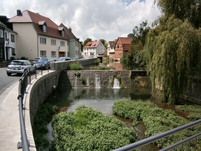
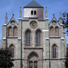
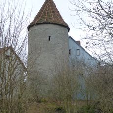
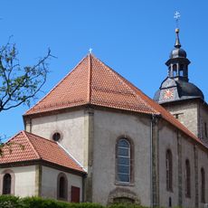
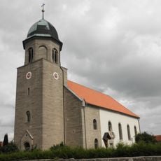
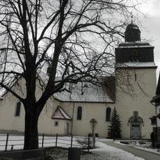
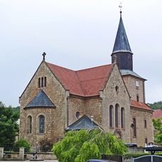
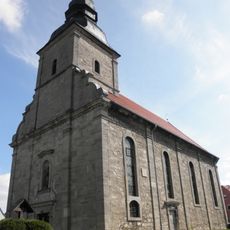
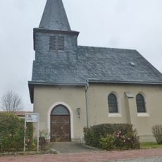
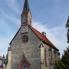
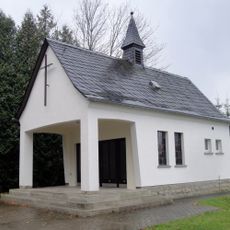
Dingelstädt is an urban municipality in the Eichsfeld region of Thuringia and comprises ten villages with around 8,100 residents spread across its territory. The town center features historical structures including a mill from 1591 with its stone portal facade, a Renaissance-style town hall, and the 19th-century neo-Gothic St. Gertrudis church.
Dingelstädt was first recorded in the 9th century and served as an important hub for travelers, merchants, and judicial proceedings from its earliest days. Starting in the 1970s, the town joined with surrounding communities to form a municipal administrative association.
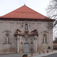
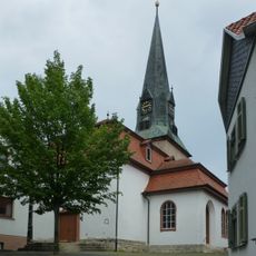
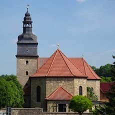
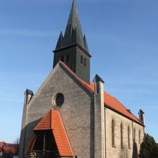
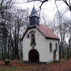
The name Dingelstädt reflects its ancient origins and deep connection to local identity. The town keeps traditions alive, such as Easter Monday gatherings where children ride hobby horses around the Maria im Busch pilgrimage church, a custom that traces back to the Thirty Years' War period.
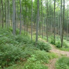
The town is easy to reach with short distances between locations, making it convenient to explore on foot. The surrounding area features well-marked walking trails ideal for hiking, particularly for visiting natural springs and enjoying the landscape around the municipality.
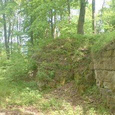
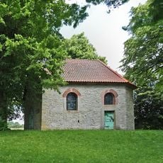
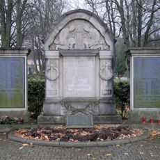
The Franciscan cemetery and the 18th-century Way of the Cross tell stories of medieval times, while the tuff stone grottos in the surrounding area offer a unique geological experience. The pilgrimage site at Kerbschen Berg, where Franciscans once lived, now serves as a family center with its own history.
The community of curious travelers
AroundUs brings together thousands of curated places, local tips, and hidden gems, enriched daily by 60,000 contributors worldwide.