
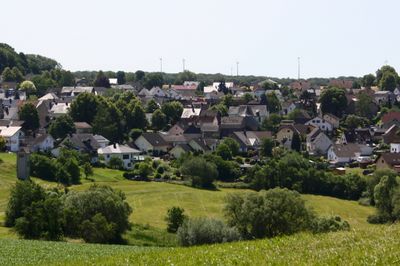
Nomborn, municipality of Germany
Location: Westerwaldkreis
Elevation above the sea: 290 m
Website: https://www.vg-montabaur.de/
Shares border with: Heilberscheid, Nentershausen, Girod, Steinefrenz
Website: https://vg-montabaur.de
GPS coordinates: 50.42944,7.91472
Latest update: May 23, 2025 12:43
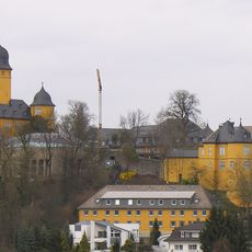
Schloss Montabaur
6.3 km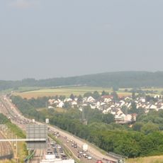
Elzer Berg
4.8 km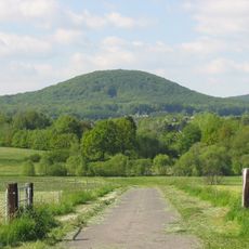
Malberg
8.8 km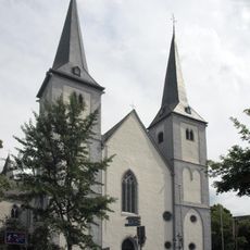
St. Peter in Ketten
5.8 km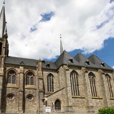
Westerwälder Dom
9.4 km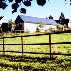
Burg Dernbach
8.9 km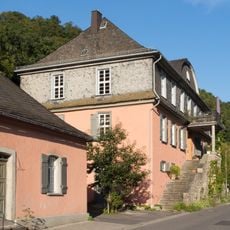
Waldecksches Jagdschloss
8.6 km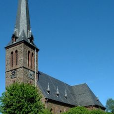
St. Bartholomäus
7.9 km
Hofgut Langwiesen
5.7 km
Alte Burg
7.8 km
Malberg
8.8 km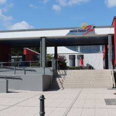
Mons-Tabor-Bad
7.4 km
Eisenbachwiesen
7.3 km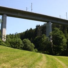
Wiesengrund-Talbrücke
1.4 km
Stelzenbachwiesen
7.4 km
Hartenberg/Steincheswiese
7 km
Synagoge
6.3 km
Tongrube Beckershaid
6.7 km
Ollmersch
5.1 km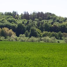
Fussenacker
7.8 km
Spiessweiher
7.3 km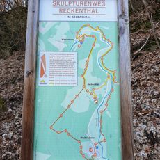
Skulpturenweg Reckenthal
3.7 km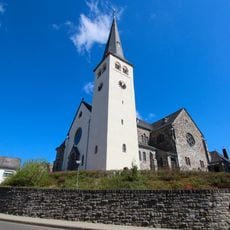
St. Petri Thronerhebung
7.4 km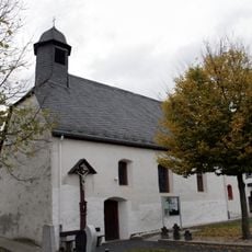
Kath. Nikolauskapelle
5.9 km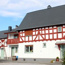
Waldstraße 16
5.9 km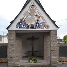
Gefallenendenkmal
9.3 km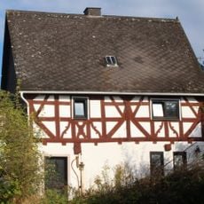
Kapellenstraße 18
5.9 km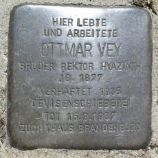
Stolperstein dedicated to Ottmar Vey
6 kmReviews
Visited this place? Tap the stars to rate it and share your experience / photos with the community! Try now! You can cancel it anytime.
Discover hidden gems everywhere you go!
From secret cafés to breathtaking viewpoints, skip the crowded tourist spots and find places that match your style. Our app makes it easy with voice search, smart filtering, route optimization, and insider tips from travelers worldwide. Download now for the complete mobile experience.

A unique approach to discovering new places❞
— Le Figaro
All the places worth exploring❞
— France Info
A tailor-made excursion in just a few clicks❞
— 20 Minutes