·

Enable Location

We need your location to show you interesting places around you

Discover nearby places

Find interesting locations and hidden gems around you

Precise directions

Get accurate directions and distances to places

Your location is never shared with other users. It's only used when you tap the location button.

Fürschießer

Log in to your account

Start exploring — it's free

Trusted by 62,661 travelers worldwide

Continue with Google
Continue with Apple
or

We will send you a code to connect

By continuing, you accept our Terms and Conditions and our Privacy Policy

Check your inbox

We've sent a pincode in your inbox. Please enter the code below.

Fürschießer

Fürschießer, Mountain summit in Bavaria, Germany

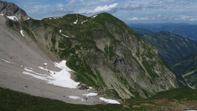
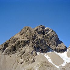
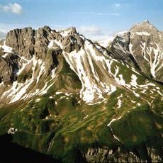
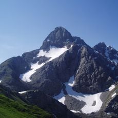
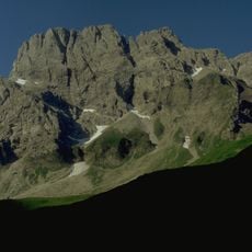
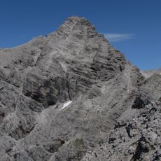
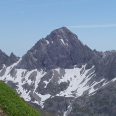
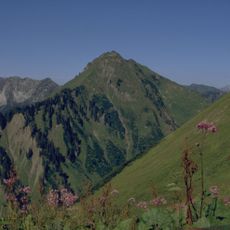
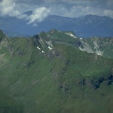
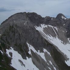
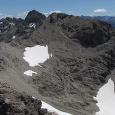
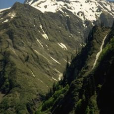
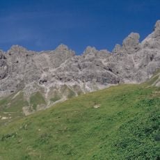
Fürschießer is a mountain summit in the Allgäu Alps that rises to 2,271 meters (7,451 feet) between the Traufbach and Sperrbach valleys. The peak features steep grassy slopes composed of marl, with several distinct summit points spread across the ridge.

The peak's name first appeared in Emperor Maximilian's hunting book from 1500, connecting it to imperial hunting grounds. The summit was later recorded in historical maps, including the Atlas Tyrolensis of 1774, under different regional names.

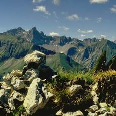
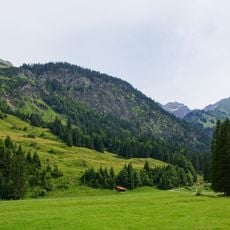
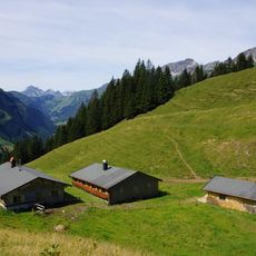
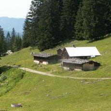
The mountain connects to the Höhenweg path system between Kemptner Hütte and Prinz-Luitpold-Haus, forming part of Bavaria's alpine hiking network.

The ascent requires mountaineering experience and good physical fitness, with unmarked sections and challenging terrain. Most routes involve grade I climbing sections and are best approached from Fürschießersattel.

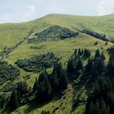
The slopes suffered significant erosion from centuries of sheep grazing, which stripped away vegetation and destabilized the terrain. In the 1980s, extensive restoration work began using jute mats and alpine grass plantings to rebuild the hillsides.

The community of curious travelers

AroundUs brings together thousands of curated places, local tips, and hidden gems, enriched daily by 60,000 contributors worldwide.

Start exploring
Location
Elevation above the sea
2,271 m
Made from material
marl
GPS coordinates
47.32858,10.32979
Latest update
December 14, 2025 18:40
« Fürschießer - Mountain summit in Bavaria, Germany » is provided by Around Us (aroundus.com). Images and texts are derived from Wikimedia project under a Creative Commons license. You are allowed to copy, distribute, and modify copies of this page, under the conditions set by the license, as long as this note is clearly visible.

Discover hidden gems everywhere you go!

From secret cafés to breathtaking viewpoints, skip the crowded tourist spots and find places that match your style. Our app makes it easy with voice search, smart filtering, route optimization, and insider tips from travelers worldwide. Download now for the complete mobile experience.

Around Us App Screenshot

A unique approach to discovering new places

Le Figaro

All the places worth exploring

France Info

A tailor-made excursion in just a few clicks

20 Minutes

Around Us
Travel Guide & Maps
Download

Send to your phone

QR Code
1

Open the camera app on your mobile.

2

Point at the QR code with your camera. A notification will appear.

3

Tap the notification to open the link.