
Sandershausen, human settlement in Germany
Location: Niestetal
Elevation above the sea: 139 m
GPS coordinates: 51.32220,9.55082
Latest update: April 22, 2025 10:39
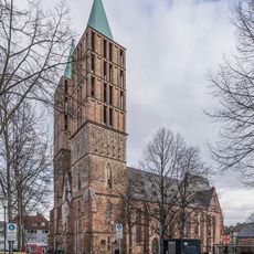
Martinskirche
3.5 km
Renthof
3.3 km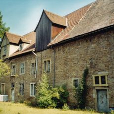
Messinghof
2.8 km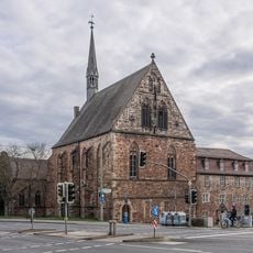
Brüderkirche
3.3 km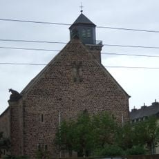
St. Kunigundis
2.5 km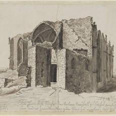
St. Maria Magdalena
3.1 km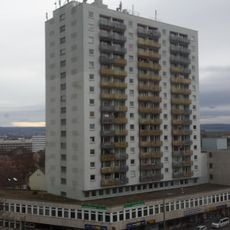
Mercedes-Hochhaus
3.4 km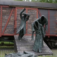
Die Rampe
3.1 km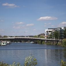
Walter Lübcke Bridge
3.3 km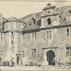
Marstall
3.4 km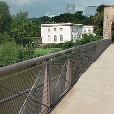
Drahtbrücke in Kassel
3.5 km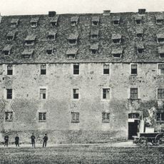
Kloster Ahnaberg
3.1 km
St. Bonifatius
2.7 km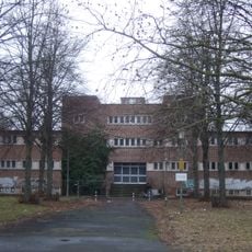
Hallenbad Ost
2.6 km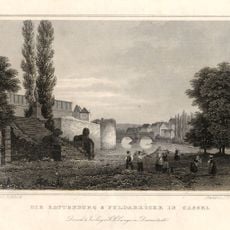
Chattenburg
3.5 km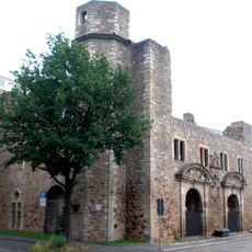
Zeughaus
3.2 km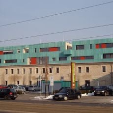
Karlshospital
3.1 km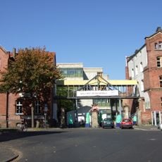
Kulturzentrum Schlachthof (Kassel)
3.3 km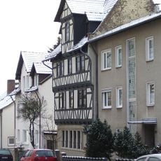
Haus Marställer Platz 7
3.4 km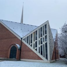
Immanuelkirche
3.4 km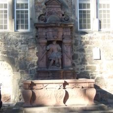
Renthofbrunnen
3.3 km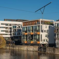
Blue Dancer
3.3 km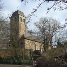
Johanniskirche
1.3 km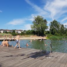
Naturerlebnisbad Niestetal
807 m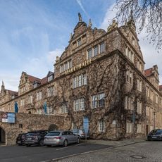
Markthalle
3.4 km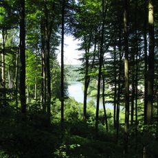
Fulda und Fuldaufer
3.1 km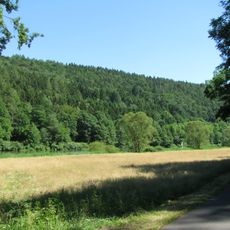
Landschaftsschutzgebiet Mittleres Fuldatal
2.4 km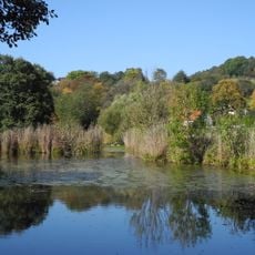
Naturschutzgebiet Fuldaschleuse Wolfsanger
926 mVisited this place? Tap the stars to rate it and share your experience / photos with the community! Try now! You can cancel it anytime.
Discover hidden gems everywhere you go!
From secret cafés to breathtaking viewpoints, skip the crowded tourist spots and find places that match your style. Our app makes it easy with voice search, smart filtering, route optimization, and insider tips from travelers worldwide. Download now for the complete mobile experience.

A unique approach to discovering new places❞
— Le Figaro
All the places worth exploring❞
— France Info
A tailor-made excursion in just a few clicks❞
— 20 Minutes