Löwenburg, Mountain summit in Bad Honnef, Germany.
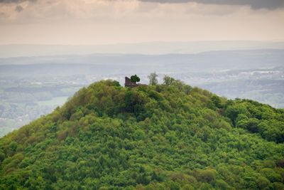
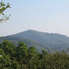
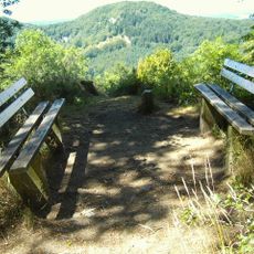
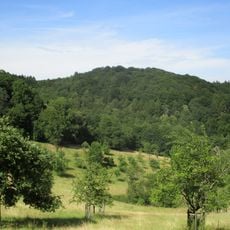
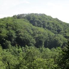
Löwenburg is a mountain summit in the Siebengebirge range that rises to about 455 meters and holds the remains of a medieval castle on its peak. From the top, visitors look out across the Rhine Valley and can see Bonn and neighboring peaks in the distance.
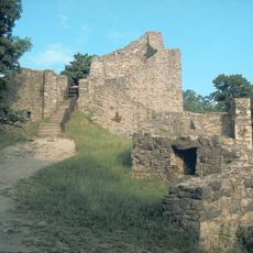
The Counts of Sayn built a castle fortress around 1200 on the summit as a defensive position against the archbishops of Cologne. The site was occupied until the 16th century, after which it gradually fell into decay.
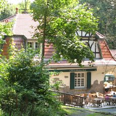
The mountain's name reflects its historical role as a sentinel point for the region, and today it attracts visitors who come to walk among the castle ruins and enjoy the open views. Local hiking communities gather here regularly to experience the connection between the historic site and the surrounding landscape.
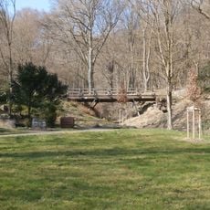
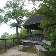
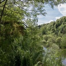
The ascent follows several hiking trails that start from parking areas near Margarethenhöhe or Einsiedel, offering different levels of difficulty depending on the chosen route. Visitors should wear proper footwear and bring water, as there are no refreshment services at the summit.
The castle ruins were restored in the 1980s and opened to visitors while the natural surroundings were carefully preserved. This work allowed people to walk through the medieval structures and examine the stonework and layout up close.
The community of curious travelers
AroundUs brings together thousands of curated places, local tips, and hidden gems, enriched daily by 60,000 contributors worldwide.