
Lopscheid, Berg in Nordrhein-Westfalen
Location: North Rhine-Westphalia
GPS coordinates: 51.02222,7.51181
Latest update: September 2, 2025 07:47
Wind hole in the Mühlenberg
5.2 km
Wiehltal bridge
5.5 km
Schwalbe-Arena
3.6 km
Gimborn Castle
5 km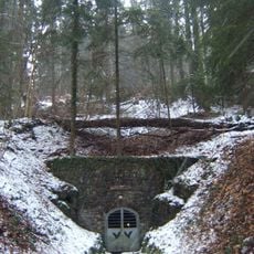
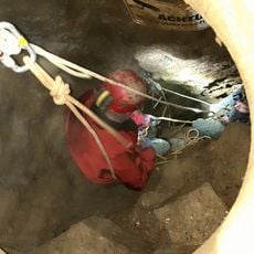
Aggertalhöhle
5.4 km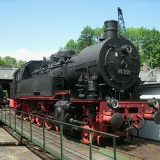
Dieringhausen Railway Museum
4.6 km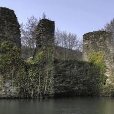
Burg Eibach
5.5 km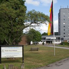
Theodor-Heuss-Akademie
4.4 km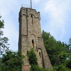
Haldy-Tower
3.9 km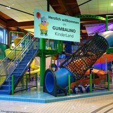
Gumbala Bade- und Saunaland
4.3 km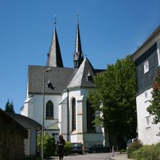
Evangelische Kirche Gummersbach
3.8 km
Forum Gummersbach
3.8 km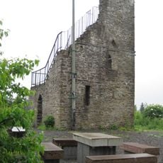
Meerhardtturm
3.8 km
Sri-Kurinchikumaran-Temple
4.3 km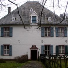
Vogteihaus Gummersbach
3.8 km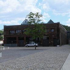
Halle 32
3.6 km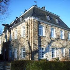
Haus Lützinghausen
1.1 km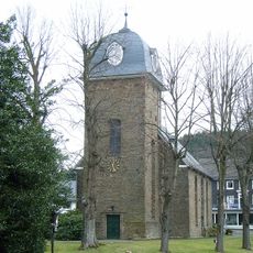
Evangelische Kirche Gummersbach-Hülsenbusch
1.8 km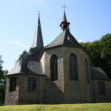
St. Johannes Baptist (Gimborn)
5 km
Gummersbach district and city library
4.2 km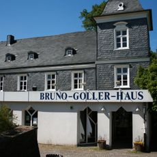
Bruno-Goller-Haus
3.6 km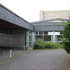
Bühnenhaus Gummersbach
4.3 km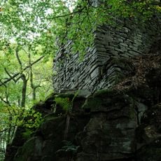
Felsenthal
5.6 km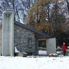
Saint Hubertus Chapel
5.3 km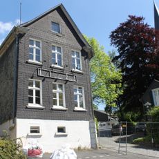
Alte Druckerei Luyken
3.7 km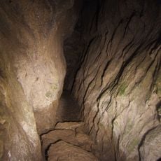
Altenberg und Aggertalhöhlen
5.6 km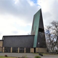
Evangelische Kirche (Schnellenbach)
4.8 km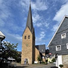
Protestant Church
4.7 kmReviews
Visited this place? Tap the stars to rate it and share your experience / photos with the community! Try now! You can cancel it anytime.
Discover hidden gems everywhere you go!
From secret cafés to breathtaking viewpoints, skip the crowded tourist spots and find places that match your style. Our app makes it easy with voice search, smart filtering, route optimization, and insider tips from travelers worldwide. Download now for the complete mobile experience.

A unique approach to discovering new places❞
— Le Figaro
All the places worth exploring❞
— France Info
A tailor-made excursion in just a few clicks❞
— 20 Minutes