Warthof, Medieval castle ruin in Aspach, Germany
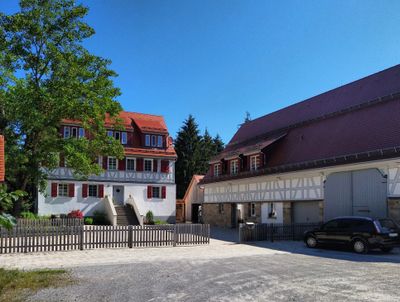
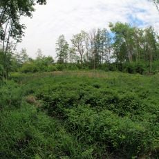
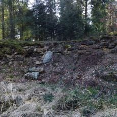
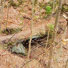
The Warthof is a medieval castle ruin perched on a hillside positioned between two valleys, showing fragments of sandstone walls and the remains of a fortified moat. Modern use of the site as a forestry office now limits direct access to the historical structures.
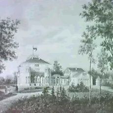
The Margraves of Baden built the fortress in the early 12th century as a strategic outpost. A marriage alliance in 1297 transferred the castle to Württemberg rule and shifted its importance in the region.
The chapel on the grounds reflects how medieval nobles integrated religious spaces into their fortified homes.
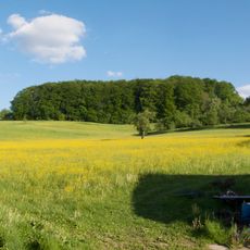
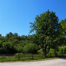
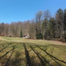
The site sits in a wooded setting and is best reached on foot or by vehicle suitable for rough terrain. Access is limited since a forestry office operates on the grounds, so visitors cannot freely wander the area.
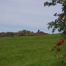
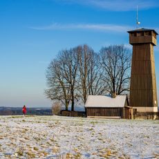
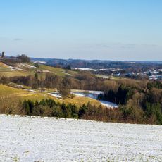
The fortress was one point in a defensive triangle with Katzenschwanz castle visible across the valley and a third fortification to the south. This arrangement allowed three strongholds to watch over the same territory.
Location: Aspach
GPS coordinates: 49.01900,9.41324
Latest update: December 9, 2025 20:22
Katharinenhof Castle
4.9 km
Burg Reichenberg
4.6 km
Schloss Oppenweiler
5.2 km
Juxkopf
2.1 km
Juxkopf Tower
2.2 km
St. Urban
4.9 km
Spiegelberger Lautertal mit Nebentälern und angrenzenden Gebieten
2.4 km
St. Stephanus Oppenweiler
4.9 km
Schmidbachtal - Oberes Bottwartal mit Seitentälern und umgebenden Gebietsteilen
5.2 km
Heppseen
3.9 km
Linde beim alten Rathaus in Strümpfelbach
5.5 km
Feuchtwiese am Krähenbach
5.3 km
Prinz Friedrichs Kochherd
3.1 km
Warthof
95 m
Schmidbachtal - Oberes Bottwartal mit Seitentälern und umgebenden Gebietsteilen
3.5 km
Alter Silberstollen
3.9 km
Krugeiche
4.5 km
Vogelschutzgehölz
4.6 km
Teich auf der Wartebene
579 m
Feuchtfläche mit Schilfbestand
5.2 km
Bucheiche
1.9 km
Waldwiese im Mönchsgarten
1.1 km
Teich mit großer Schwarzerle
38 m
Klinge und Flurgehölz
4.3 km
Heidegelände und alte Steinbruchwand
714 m
Roßkastanie
3.4 km
Hüttlenwaldschlucht
2.4 km
Feuchtgebiet in der Talaue des Allmersbaches
4.7 kmVisited this place? Tap the stars to rate it and share your experience / photos with the community! Try now! You can cancel it anytime.
Discover hidden gems everywhere you go!
From secret cafés to breathtaking viewpoints, skip the crowded tourist spots and find places that match your style. Our app makes it easy with voice search, smart filtering, route optimization, and insider tips from travelers worldwide. Download now for the complete mobile experience.
A unique approach to discovering new places❞
— Le Figaro
All the places worth exploring❞
— France Info
A tailor-made excursion in just a few clicks❞
— 20 Minutes