Juxkopf, Mountain summit in Löwensteiner Mountains, Germany
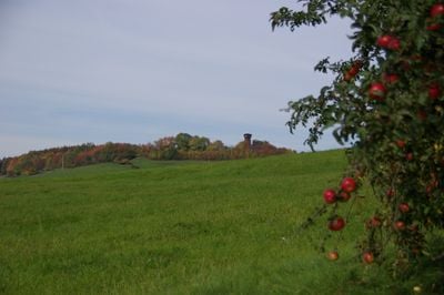
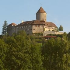
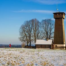
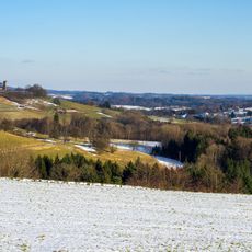
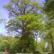
Juxkopf is a mountain in the Löwensteiner range of Baden-Württemberg that reaches approximately 533 meters in elevation. An 18-meter observation structure with a concrete base and wooden frame crowns the summit and allows views across surrounding valleys.
The first observation tower appeared in 1882 and was replaced in 1902, with the current wooden and concrete structure completed in 1932. Management responsibility passed to a local group in 2008 when it took over operations from a larger regional association.
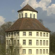
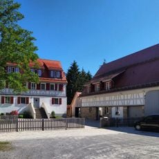
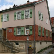
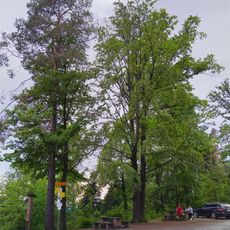
The lodge at the summit serves as a gathering place where hikers and nature lovers meet to share the experience of the views and the mountain air. This role makes it more than just a building; it becomes part of how people connect with the landscape.
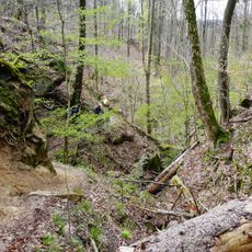
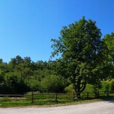
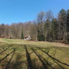
The climb takes you through wooded terrain with several trail options leading to the summit from different starting points. The lodge operates seasonally and provides food and shelter for hikers making the journey.
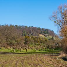
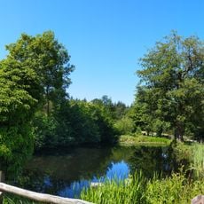
From the observation platform, visitors can gaze across four different river valleys that spread out in various directions. This geographic position makes the peak notable for those interested in seeing how water shapes the surrounding land.
Location: Baden-Württemberg
Elevation above the sea: 533.1 m
GPS coordinates: 49.03395,9.43178
Latest update: December 14, 2025 13:00
Burg Reichenberg
5.2 km
Schloss Oppenweiler
6 km
Juxkopf Tower
60 m
Warthof
2.1 km
Bauspar-Museum
5.6 km
Johanneskirche (Billensbach)
5.8 km
Schloss Lautereck, Sulzbach
5.8 km
Bodenbachschlucht
4.5 km
Haller Straße 3
5.6 km
Spiegelberger Lautertal mit Nebentälern und angrenzenden Gebieten
823 m
St. Stephanus Oppenweiler
5.8 km
Schmidbachtal - Oberes Bottwartal mit Seitentälern und umgebenden Gebietsteilen
5.1 km
Krugeiche
5.9 km
Warthof
2.2 km
Schmidbachtal - Oberes Bottwartal mit Seitentälern und umgebenden Gebietsteilen
3.6 km
Tobelschlucht mit "Hohlem Stein"
4.2 km
Alter Silberstollen
2.1 km
Heppseen
5.4 km
Prinz Friedrichs Kochherd
4.7 km
Teich auf der Wartebene
2.5 km
Altes Rathaus
5.7 km
Waldwiese im Mönchsgarten
3 km
Heidegelände und alte Steinbruchwand
2.5 km
Pfaffenklinge mit Silberstollen "..u.Soldatenglück
5.8 km
Roßkastanie
5.4 km
Bucheiche
2.8 km
Teich mit großer Schwarzerle
2.2 km
Hüttlenwaldschlucht
557 mVisited this place? Tap the stars to rate it and share your experience / photos with the community! Try now! You can cancel it anytime.
Discover hidden gems everywhere you go!
From secret cafés to breathtaking viewpoints, skip the crowded tourist spots and find places that match your style. Our app makes it easy with voice search, smart filtering, route optimization, and insider tips from travelers worldwide. Download now for the complete mobile experience.
A unique approach to discovering new places❞
— Le Figaro
All the places worth exploring❞
— France Info
A tailor-made excursion in just a few clicks❞
— 20 Minutes