
Sundern, protected area in the European Union defined by the habitats directive in Nordrhein-Westfalen, Germany
Location: Rosendahl
Location: Billerbeck
Inception: 1999
GPS coordinates: 51.99014,7.22008
Latest update: July 26, 2025 17:46
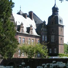
Wasserschloss Darfeld
4.4 km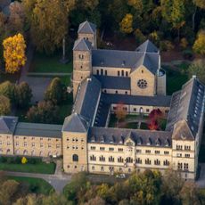
Gerleve Abbey
6.2 km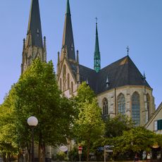
St Luger's Church
5.1 km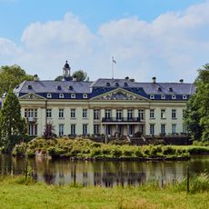
Varlar Abbey
3 km
Coesfeld Cross
6 km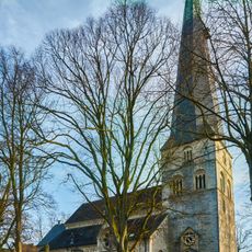
Saint John the Baptist Church (Billerbeck)
5 km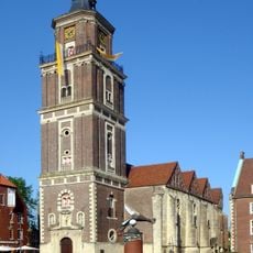
St. Lamberti, Coesfeld
6.1 km
Haus Hameren
4.8 km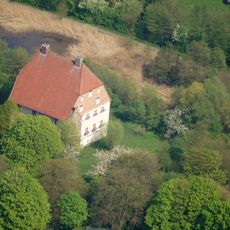
Kolvenburg
5.1 km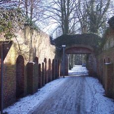
Ludgerusburg
5.6 km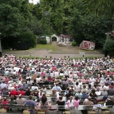
Freilichtbühne Billerbeck
5.6 km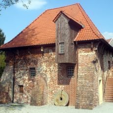
Bischofsmühle
6.2 km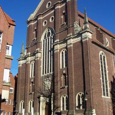
Protestant church, Coesfeld
6.1 km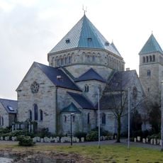
Saints Fabian and Sebastian Church (Osterwick)
3.1 km
Konzert Theater Coesfeld
5.4 km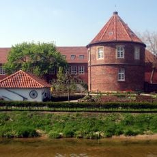
Pulverturm, Coesfeld
5.9 km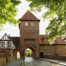
Walkenbrückentor
5.8 km
Christuskirche (vorm. Synagoge, Coesfeld)
6 km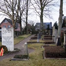
Jewish cemetery, Coesfeld
4.9 km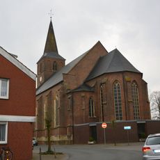
St. Nikolaus
6.2 km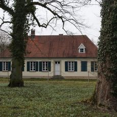
Richthof
4.8 km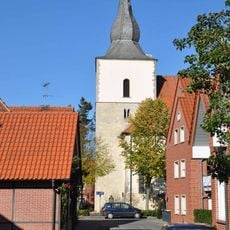
Saint Nicholas Church (Darfeld)
5.4 km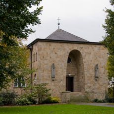
Pforte Gerleve
5.1 km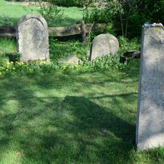
Jüdischer Friedhof
4.4 km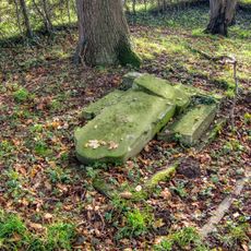
Jüdischer Friedhof
5.5 km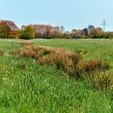
Brink
4 km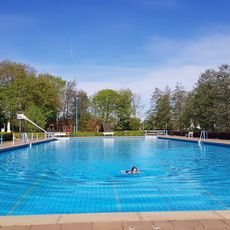
Freibad Billerbeck
4.4 km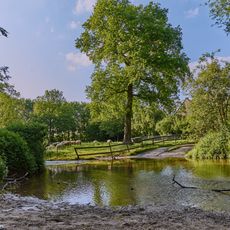
Berkelquelle
6 kmReviews
Visited this place? Tap the stars to rate it and share your experience / photos with the community! Try now! You can cancel it anytime.
Discover hidden gems everywhere you go!
From secret cafés to breathtaking viewpoints, skip the crowded tourist spots and find places that match your style. Our app makes it easy with voice search, smart filtering, route optimization, and insider tips from travelers worldwide. Download now for the complete mobile experience.

A unique approach to discovering new places❞
— Le Figaro
All the places worth exploring❞
— France Info
A tailor-made excursion in just a few clicks❞
— 20 Minutes