
Landschule Strom, building in Strom, Germany
Location: Strom
Address: Stromer Landstraße 26a
GPS coordinates: 53.08306,8.70116
Latest update: April 23, 2025 22:30
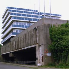
U-Boot-Bunker Hornisse
4.4 km
Güterverkehrszentrum Bremen
1.1 km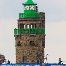
Molenfeuer Überseehafen Süd
4 km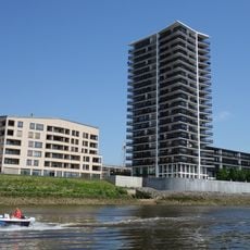
Landmark-Tower
4.3 km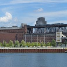
Getreideverkehrsanlage
4.5 km
St. Georg, Bremen
4.4 km
Warturm und Storchnest
4.3 km
Shipyard Island, Bremen
4.2 km
Ochtumniederung bei Brokhuchting
2.2 km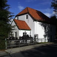
Museumsmühle Hasbergen
3 km
Dietrich-Bonhoeffer-Gemeindezentrum
3.4 km
Kirche Rablinghausen
3.7 km
St. Laurentius-Kirche (Hasbergen)
2.1 km
Christuskirche
4.4 km
St. Benedikt
4.5 km
Hemmelskamp
4.2 km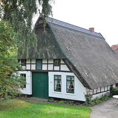
Bauernhaus Westerdeich 146
3.8 km
Hochwasserschutzpolder
2.6 km
Sandhauser Brake und Schwarze Brake
3 km
Vogelschutzgehölz Sodenmatt
3.6 km
Glockenstein
3.9 km
St. Jacobi (Bremen-Seehausen)
3.1 km
Hallenbad Huchting
4.3 km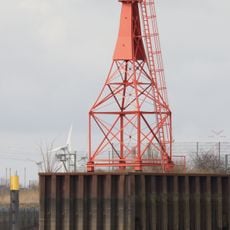
Molenfeuer Überseehafen Nord
4.1 km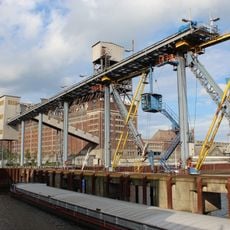
Getreideverkehrsanlage, Pier A
4.4 km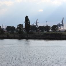
Molenhaus und Molenabschnitt
4 km
Bremische Ochtum
4.5 km
Niedervieland
3.5 kmReviews
Visited this place? Tap the stars to rate it and share your experience / photos with the community! Try now! You can cancel it anytime.
Discover hidden gems everywhere you go!
From secret cafés to breathtaking viewpoints, skip the crowded tourist spots and find places that match your style. Our app makes it easy with voice search, smart filtering, route optimization, and insider tips from travelers worldwide. Download now for the complete mobile experience.

A unique approach to discovering new places❞
— Le Figaro
All the places worth exploring❞
— France Info
A tailor-made excursion in just a few clicks❞
— 20 Minutes