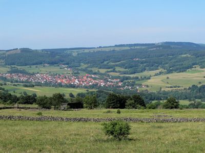
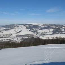
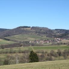
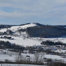
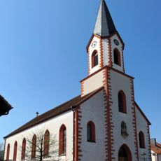
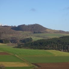
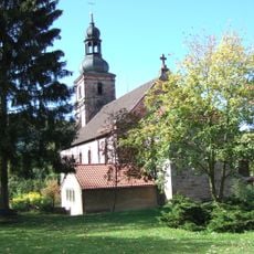
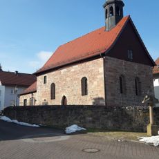
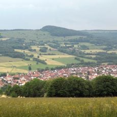
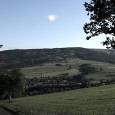
Ehrenberg, municipality in Landkreis Fulda in Hesse, Germany
Location: Fulda
Inception: 1970
Elevation above the sea: 580 m
Shares border with: Poppenhausen (Wasserkuppe), Gersfeld
Phone: +49668396010
Website: http://gemeinde-ehrenberg.de
GPS coordinates: 50.52611,10.01417
Latest update: March 6, 2025 20:21
Wasserkuppe
6.4 km
Schwarzes Moor in der Rhön
3.8 km
Rotes Moor
6.8 km
Fliegerdenkmal Wasserkuppe
6.5 km
The German Gliding Museum
5.7 km
Pferdskopf
7.7 km
Schafstein
4 km
Abtsrodaer Kuppe
5.9 km
Steinkopf
5.3 km
Feldberg
7.5 km
Mathesberg
5 km
St. Michael
3 km
Weiherkuppe
7.3 km
St. Michael
81 m
St. Georg und St. Valentin
4.2 km
St. Josef
2.5 km
Schwarzwald bei Wüstensachsen
5.5 km
Stirnberg bei Wüstensachsen
3.8 km
Protestant Church Birx
2.3 km
Landschaftsschutzgebiet Hohe Rhön
7 km
Rotes Moor
6.4 km
Steinkopf
5.3 km
Naturschutzgebiet Schafstein bei Wüstensachsen
4 km
Naturschutzgebiet Eube
8.5 km
Red Moor Observation Tower
6.8 km
Schwarzes Moor
3.9 km
Black Moor Observation Tower
3.8 km
Schwarzes Moor (BR)
3.9 kmReviews
Visited this place? Tap the stars to rate it and share your experience / photos with the community! Try now! You can cancel it anytime.
Discover hidden gems everywhere you go!
From secret cafés to breathtaking viewpoints, skip the crowded tourist spots and find places that match your style. Our app makes it easy with voice search, smart filtering, route optimization, and insider tips from travelers worldwide. Download now for the complete mobile experience.
A unique approach to discovering new places❞
— Le Figaro
All the places worth exploring❞
— France Info
A tailor-made excursion in just a few clicks❞
— 20 Minutes