Enable Location

We need your location to show you interesting places around you

Discover nearby places

Find interesting locations and hidden gems around you

Precise directions

Get accurate directions and distances to places

Your location is never shared with other users. It's only used when you tap the location button.

Log in to your account

Start exploring — it's free

Trusted by 61,999 travelers worldwide

Continue with Google
Continue with Apple
or

We will send you a code to connect

By continuing, you accept our Terms and Conditions and our Privacy Policy

Check your inbox

We've sent a pincode in your inbox. Please enter the code below.

Fulda, Administrative district in Hesse, Germany

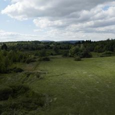
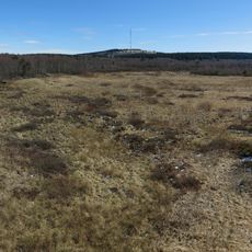
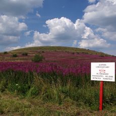
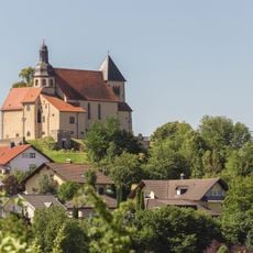
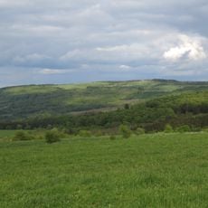
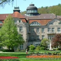
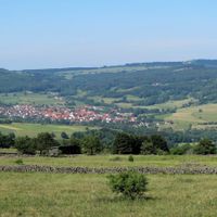
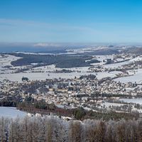
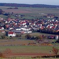
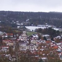
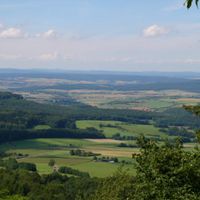
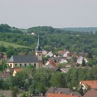
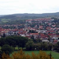
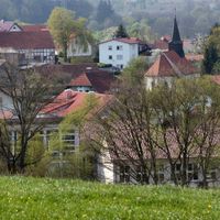
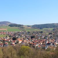
Fulda is an administrative district in northeastern Hesse that encompasses varied landscapes including forested hills and mountain sections. The region contains multiple towns and numerous smaller municipalities spread across valleys and upland areas.

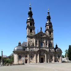
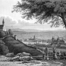
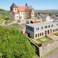
The district was established in 1821 following the merger of the Duchy of Fulda with Hesse under a new administrative framework. Before this, the territory had been shaped by centuries of religious rule and feudal governance.

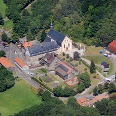
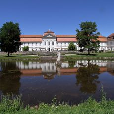
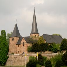
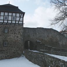
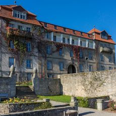
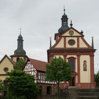
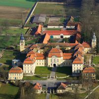
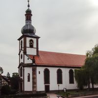
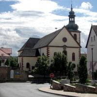
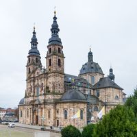
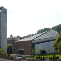
The communities throughout the area celebrate local traditions through festivals and markets held in village squares and town centers. Traditional half-timbered buildings remain central to how people experience their towns and define regional identity.

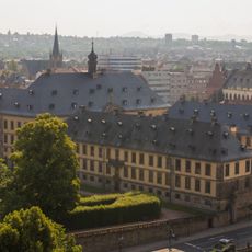
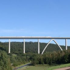
The district center is accessible by major highway and railway connections, serving as the main hub for administrative services and information. Transportation between communities can take longer than expected due to the hilly terrain and winding roads.

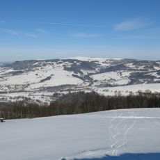
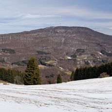
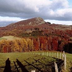
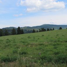
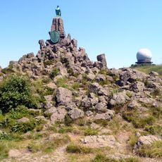
The Wasserkuppe, the highest peak in the region, served as the birthplace of German gliding in the early 1900s. Enthusiasts conducted the first practical experiments with motorless flight on its slopes, making it a landmark in aviation history.

The community of curious travelers

AroundUs brings together thousands of curated places, local tips, and hidden gems, enriched daily by 60,000 contributors worldwide.

Start exploring
Capital city
Fulda
Elevation above the sea
297 m
Shares border with
Hersfeld-Rotenburg, Wartburgkreis, Schmalkalden-Meiningen, Rhön-Grabfeld, Bad Kissingen district, Main-Kinzig-Kreis, Vogelsbergkreis
GPS coordinates
50.56014,9.68611
Latest update
December 17, 2025 10:38
« Fulda - Administrative district in Hesse, Germany » is provided by Around Us (aroundus.com). Images and texts are derived from Wikimedia project under a Creative Commons license. You are allowed to copy, distribute, and modify copies of this page, under the conditions set by the license, as long as this note is clearly visible.

Discover hidden gems everywhere you go!

From secret cafés to breathtaking viewpoints, skip the crowded tourist spots and find places that match your style. Our app makes it easy with voice search, smart filtering, route optimization, and insider tips from travelers worldwide. Download now for the complete mobile experience.

Around Us App Screenshot

A unique approach to discovering new places

Le Figaro

All the places worth exploring

France Info

A tailor-made excursion in just a few clicks

20 Minutes

Around Us
Travel Guide & Maps
Download

Send to your phone

QR Code
1

Open the camera app on your mobile.

2

Point at the QR code with your camera. A notification will appear.

3

Tap the notification to open the link.