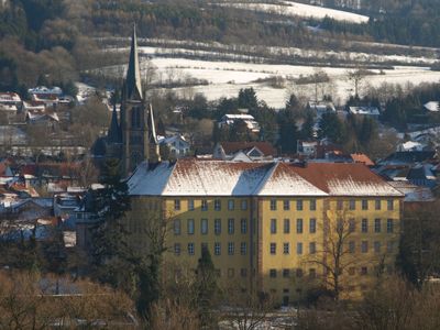
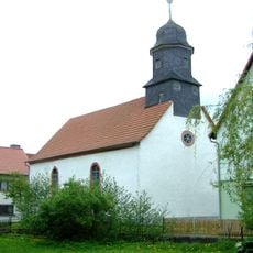
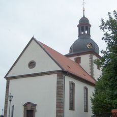
Tann, town in Landkreis Fulda in Hesse, Germany
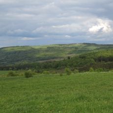
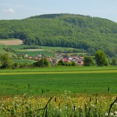
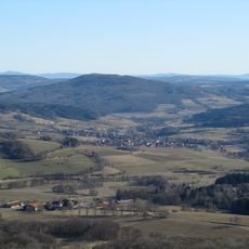
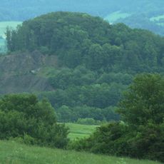
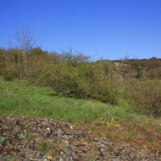
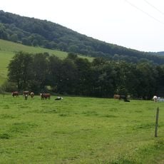
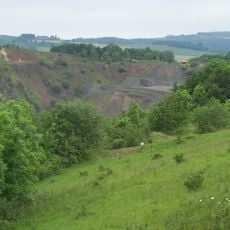
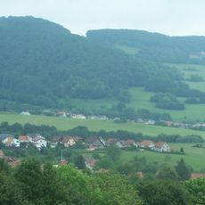
Tann is a municipality in the Fulda district, set in the Ulster valley within the Rhön uplands of central Germany. The town covers several districts spread across a landscape of forests and rolling hills in the eastern part of Hesse.
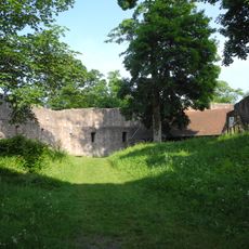
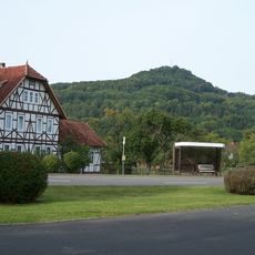
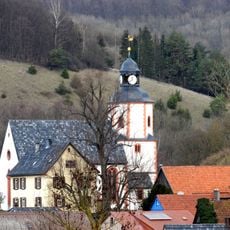
Tann grew as a market town in the Rhön during the medieval period and still has a town wall with a standing gate tower from that era. Its position away from major trade routes meant it changed little over the centuries, which is why older buildings survived.
Tann carries the official label of Luftkurort, a German designation for a town where the air quality meets strict natural standards. Walking through the town, you notice how the streets and public spaces are oriented toward the surrounding countryside and outdoor life.
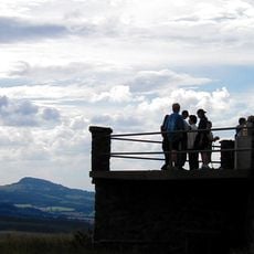
Tann works well as a base for day walks in the Rhön, with signed trails starting directly from the town center. The area is easy to navigate on foot, and the tourist office in the center can provide printed maps and help you plan your time.
The Habel district has a local legend about the Knight of Habel, whose ghost is said to roam at night with a copper kettle on his head. The story is still passed down among locals and gives this corner of the municipality a flavor found nowhere else nearby.
The community of curious travelers
AroundUs brings together thousands of curated places, local tips, and hidden gems, enriched daily by 60,000 contributors worldwide.