
Attatba, commune and town in Tipaza Province, Algeria
Location: Koléa District
Elevation above the sea: 280 m
Shares border with: Bouharoun
GPS coordinates: 36.57335,2.67526
Latest update: April 25, 2025 17:42
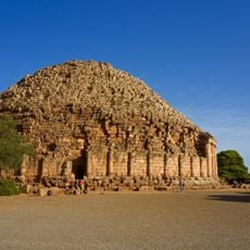
Royal Mausoleum of Mauretania
10.9 km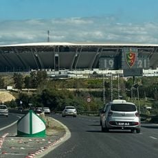
Ali La Pointe Stadium
28.3 km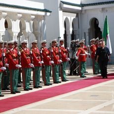
El Mouradia Palace
40.5 km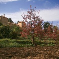
Monastery Our Lady of the Atlas
31.1 km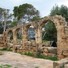
Tipasa
21.1 km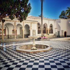
Bardo National Museum
39.2 km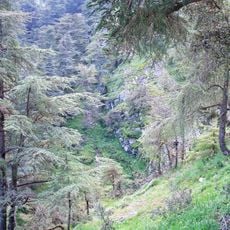
Chrea National Park
25.8 km
Ben Aknoun Park
35.3 km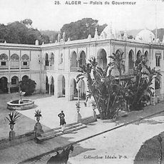
People's Palace (Algiers)
39 km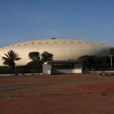
La Coupole d’Alger Arena
32.6 km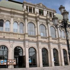
Algiers Opera House Boualem Bessaïh
29.2 km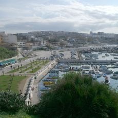
El Djamila
32.3 km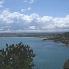
Chenoua
23.9 km
Staoueli Abbey
28.6 km
Balcon Saint-Raphaël
39 km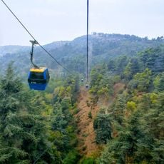
Chrea Gondola lift
20.9 km
المدرسة التطبيقية بالصومعة
21.2 km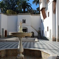
Villa du Bardo
38.9 km
Centre technique national de Sidi Moussa
36.7 km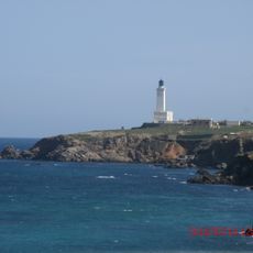
Cape Caxine Lighthouse
36.5 km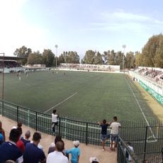
Stade du 5-Juillet-1962
24.3 km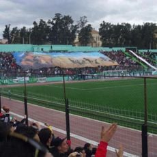
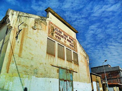
Stade Frères Brakni
17.9 km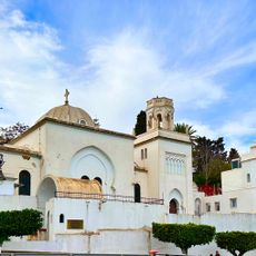
Holy Trinity Anglican Church (Algiers)
39 km
Stade Imam Lyes de Médéa
34.7 km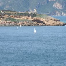
Tipaza Lighthouse
20.5 km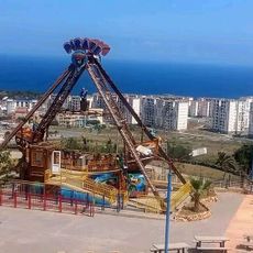
Tipazia Park
18.9 km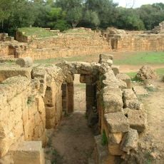
Tipaza amphitheatre
20.7 km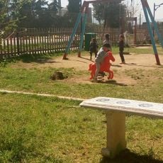
Parc de loisirs familial de Blida
16.4 kmReviews
Visited this place? Tap the stars to rate it and share your experience / photos with the community! Try now! You can cancel it anytime.
Discover hidden gems everywhere you go!
From secret cafés to breathtaking viewpoints, skip the crowded tourist spots and find places that match your style. Our app makes it easy with voice search, smart filtering, route optimization, and insider tips from travelers worldwide. Download now for the complete mobile experience.

A unique approach to discovering new places❞
— Le Figaro
All the places worth exploring❞
— France Info
A tailor-made excursion in just a few clicks❞
— 20 Minutes