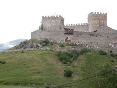
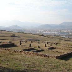
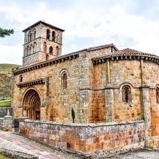
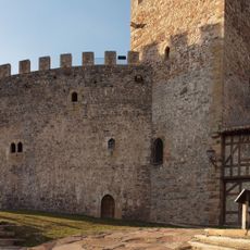
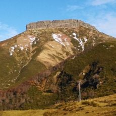
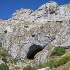
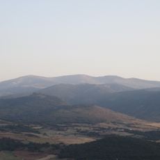
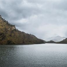
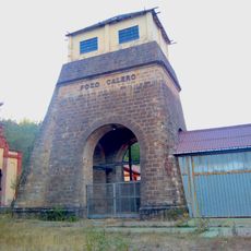
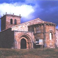
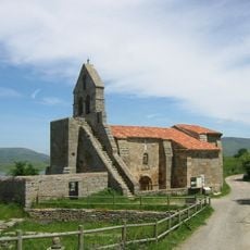
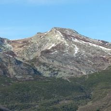
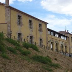
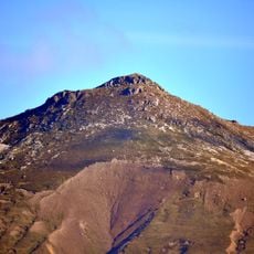
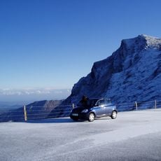
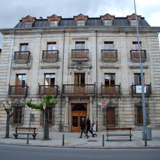
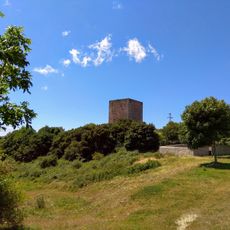
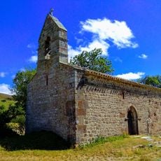
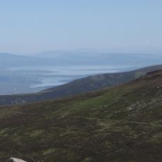
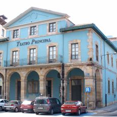
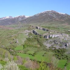
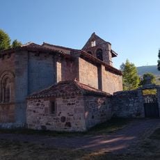
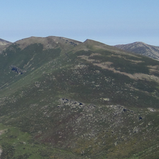
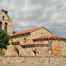
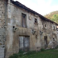
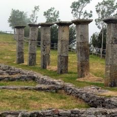
Hermandad de Campoo de Suso, municipality of Spain
Location: Cantabria
Capital city: Hermandad de Campoo de Suso
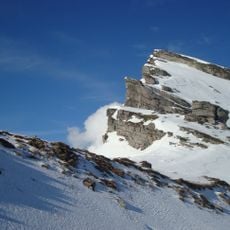
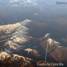
Elevation above the sea: 886 m
Part of: Asociación y Comunidad de Campoo-Cabuérniga
Shares border with: Polaciones, Los Tojos, Bárcena de Pie de Concha, Santiurde de Reinosa, Campoo de Enmedio, Valdeolea, Brañosera, La Pernía
GPS coordinates: 43.02250,-4.22444
Latest update: March 4, 2025 14:37
Pico Tres Mares
14.7 km
Juliobriga
10 km
Collegiate church of San Pedro de Cervatos
9.6 km
Castillo de Argüeso
2.1 km
Peña Labra
17.1 km
Cueva del Cobre
12.7 km
Valdecebollas
13 km
La Cohilla Reservoir
18.1 km
Pozo Calero
13.9 km
Church of St. Mary Major
2.5 km
Church of Santa María de Retortillo
9.9 km
Cuchillón
13.6 km
Centro de Interpretación de la Minería (Barruelo de Santullán)
13.9 km
Cueto Cordel
8.5 km
Cornón
13.7 km
La Casona
7.5 km
Torre medieval de San Martín de Hoyos
11.7 km
Cuetu la Concilla
12.5 km
Ermita de San Miguel (Olea)
10.2 km
Sestil
11.3 km
Teatro Principal
7.5 km
Castro de Abiada
6.3 km
Iglesia de Santa María la Real de Valberzoso
12 km
Cueto Mañín
12.4 km
Iglesia de San Cipriano
8.9 km
House of Padre Rábago
18 km
Julióbriga
10.2 km
Iglesia de Santa María la Mayor
2.5 kmReviews
Visited this place? Tap the stars to rate it and share your experience / photos with the community! Try now! You can cancel it anytime.
Discover hidden gems everywhere you go!
From secret cafés to breathtaking viewpoints, skip the crowded tourist spots and find places that match your style. Our app makes it easy with voice search, smart filtering, route optimization, and insider tips from travelers worldwide. Download now for the complete mobile experience.
A unique approach to discovering new places❞
— Le Figaro
All the places worth exploring❞
— France Info
A tailor-made excursion in just a few clicks❞
— 20 Minutes