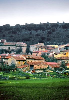
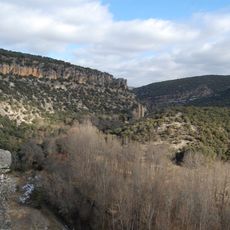
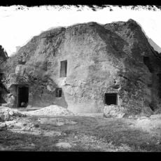
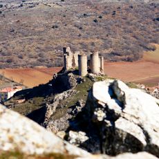
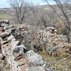
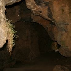
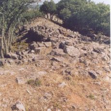
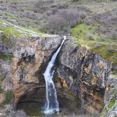
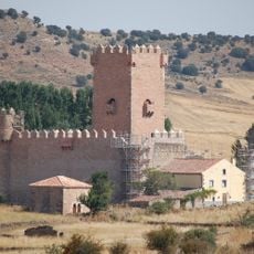
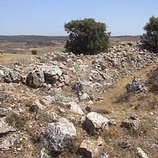
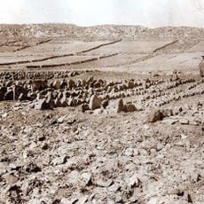
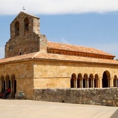
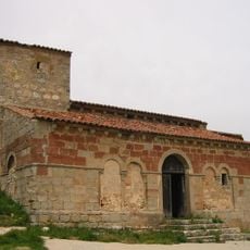
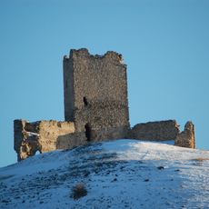
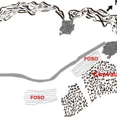
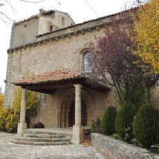
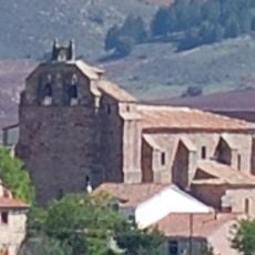
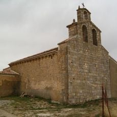
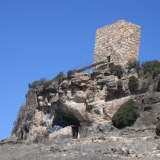
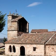
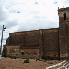
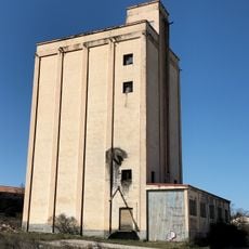
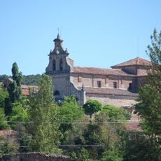
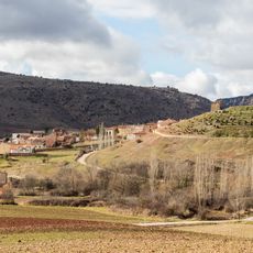
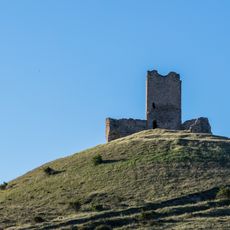
Luzaga, municipality of Spain
The community of curious travelers
AroundUs brings together thousands of curated places, local tips, and hidden gems, enriched daily by 60,000 contributors worldwide.
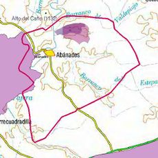
Location
Capital city
Luzaga
Elevation above the sea
1,072 m
Part of
Mancomunitat «Sierra Ministra»
Shares border with
Alcolea del Pinar, Anguita, Hortezuela de Océn, Sotodosos
Website
GPS coordinates
40.97444,-2.44417
Latest update
March 6, 2025 03:09